dendrite
-
Posts
75,088 -
Joined
Content Type
Profiles
Blogs
Forums
American Weather
Media Demo
Store
Gallery
Everything posted by dendrite
-
25.7° +SN BLSN
-
May be trying to read the sideways French ukie maps.
-
RGEM with over an inch of liquid here. lol...not happening.
-
Nice. Keep taking pics while driving.
-
Pretty good drifting snow right now. Back to moderate and 25.8F. Up to 1.5". The 2" depth is the highest since the cutter in Dec.
-
Stealing Scoot's snow
-
Damn that must be some paste.
-
Does wiz post snow obs anymore or is he viewing 900hr CFS CAPE charts?
-
That's just subby out west in the valley. Just a lull between forcing in the east....it'll all slowly migrate north.
-
A GC pube or an urban pube?
-
Congress just passed 15" minimum snow
-
Jesus E MA
-
Methuen will catch up quickly.
-
Still some lower level lift below the slot. This wv level is more in the 500-750 layer.
-
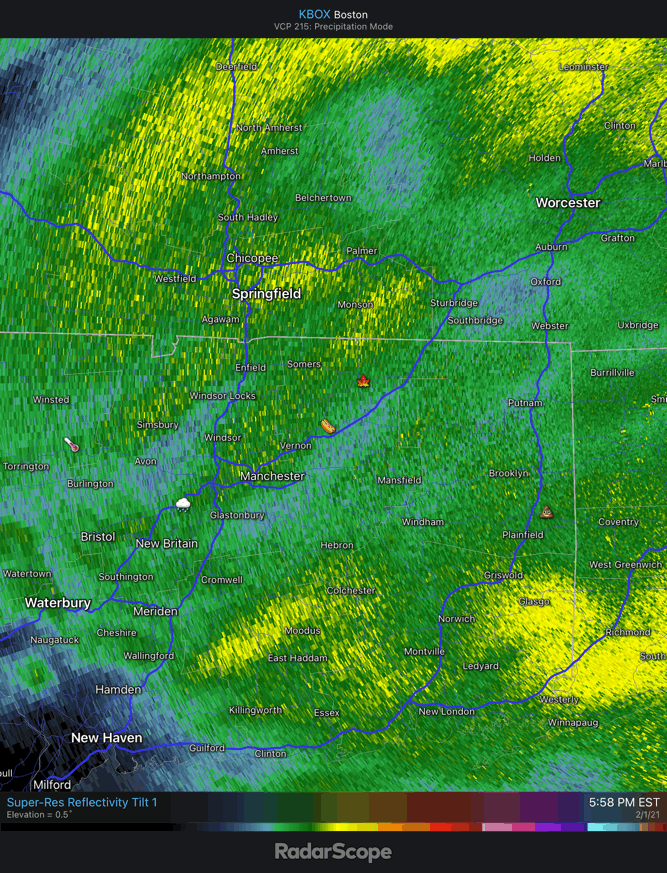
Dryslot going through CT now...precip is getting showery. Looks like those heavier showers from LI are hitting a melting layer.
-
25.9° SN/+SN
-
First flakes 27°
-
Stein! That will be me later

-
We need to get him a better light. Looks like a little bit of drizzle.
-
27/20 Virga
-
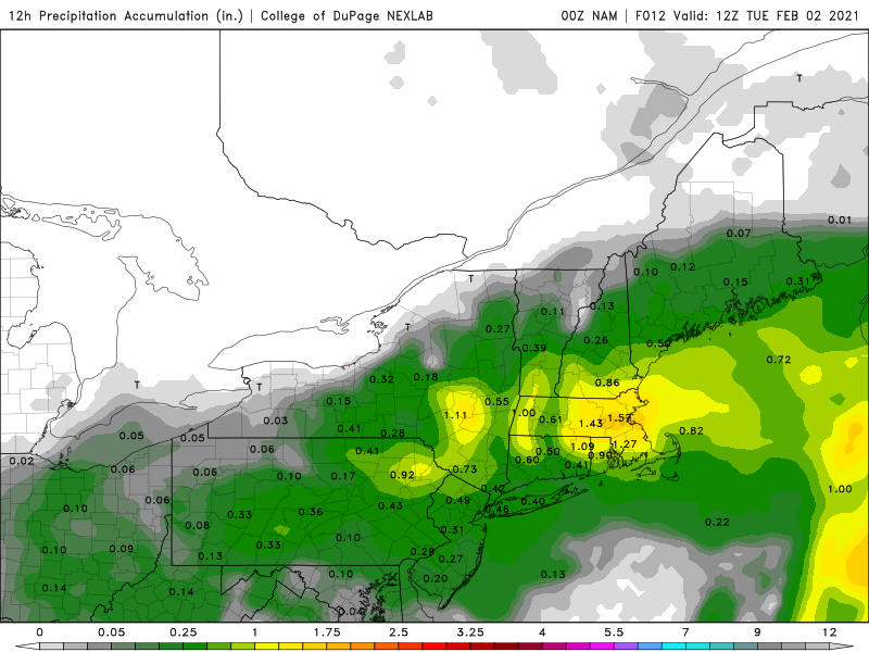
Nice...what’s that chart from?
-
Also I think you need 4 hourly obs to get the 3 hours inclusive...not sure. BDR is manned today too, but I’m not sure if they augment vis obs. Maybe @OceanStWx knows how GYX goes about verifying it.
-
Criteria has always been under 1/4SM. But with automated ASOS sites without augmentation it’s damn near impossible to get obs of M1/4SM. A lot of the old manned 0SM, 1/16SM, and 1/8SM obs are seen as 1/4SM by the ASOS now.
-
Depends if they’re counting 1/4SM as blizz criteria now.
-
You’re not missing anything...run of the mill. So I’m cheering on a bust on the low side.