dendrite
-
Posts
66,905 -
Joined
Content Type
Profiles
Blogs
Forums
American Weather
Media Demo
Store
Gallery
Everything posted by dendrite
-
ADATT struggling when hit in the face with COC
-
Monday was always the warmer relaxation day ahead of the next front. We’ll torch it up again soon enough.
-
61.3F and still a breeze. Should be into the U40s tonight.
-
Well MWN was reporting both GR and PL...it’s really not a sleet setup though. Must be legit hail mixed with graupel.
-
They had sub 1/4” GR earlier in the remarks. Definitely graupel or small hail.
-
66.9/46 Nice breeze. Hint of smoke in the air from the neighbor's fire pit. Wearing a hoodie outside tonight just for DIT.
-
Congrats Alex 55F +RA KHIE 102052Z AUTO 32010KT 2SM +RA BR FEW017 BKN035 OVC049 13/11 A2982 RMK AO2 VIS 3/4V5 RAB45 PRESRR SLP098 P0013 60013 T01280106 53021
-
If I ever had a daughter my name of choice was Neve...that is until Lisa found out the meaning. Now it's nixed.
-
It's like when you look out in the deep extended at H5 anomalies and weak trough signals show up as neutral or slightly AN heights.
-
Looks like HIE hit 67F?
-
Almost like April with cold pool showers where it's 60F and sun and then you get pounded with 38F graupel.
-
Satanic weather here right now
-
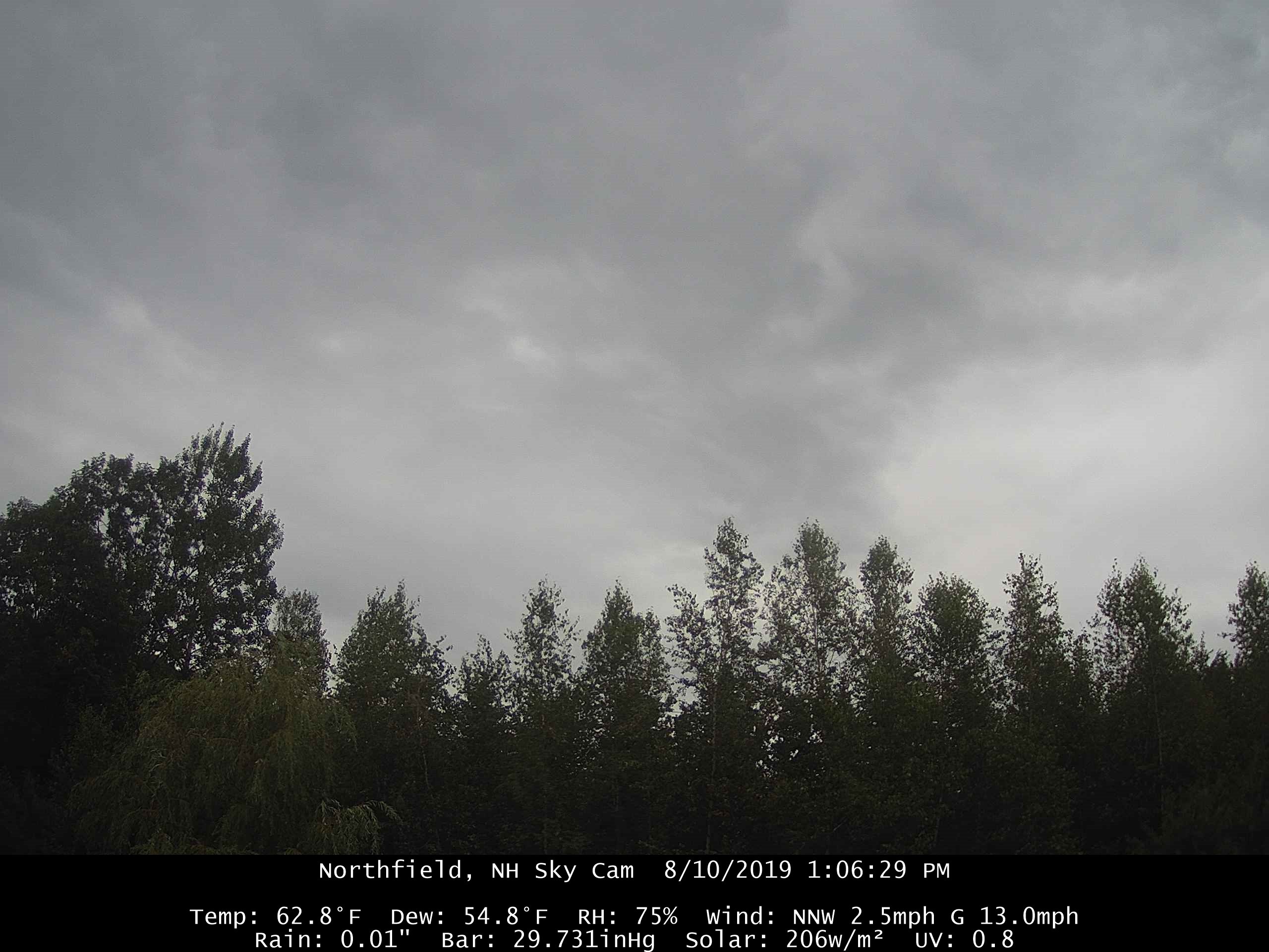
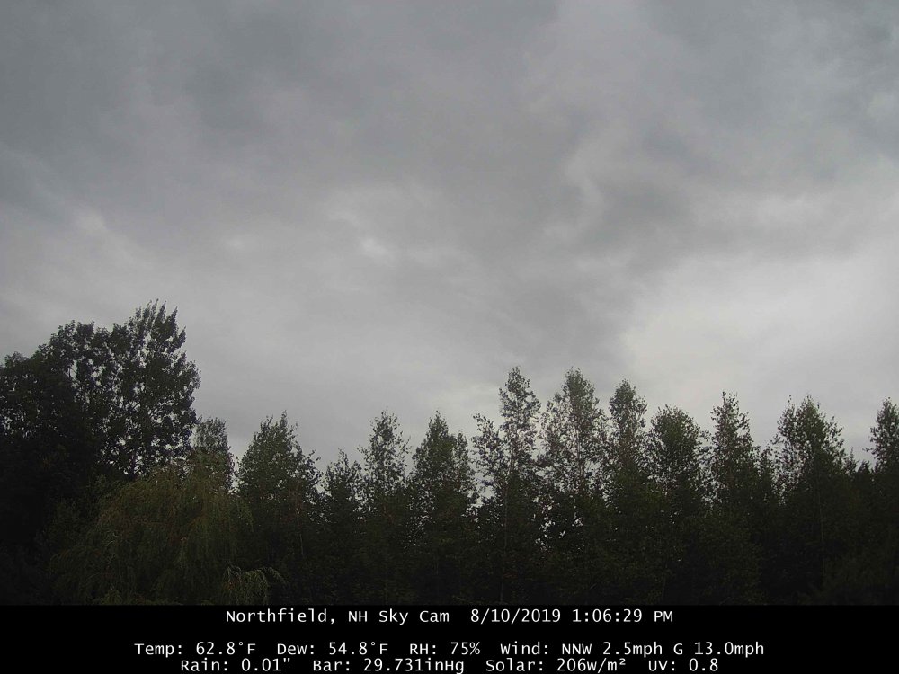
It’s frigid 62.8/54.8 with -SHRA and breezy Time to eat some apple cider doughnuts.
-
The 40s dews advect in today for NNE
-
They had 59° a few days ago
-
Running out of time to match last year.
-
You got to pray, just to get dews today
-
63/62
-
Well I'm certainly not rushing away summer. I can just do without the 90/70 crap. 70-80/50-60 is just about perfect and I hope it continues right through October. Flip the switch 10/20.
-
Heavy, heavy chamber GFSX MOS (MEX) K1P1 GFSX MOS GUIDANCE 8/09/2019 0000 UTC FHR 24| 36 48| 60 72| 84 96|108 120|132 144|156 168|180 192 FRI 09| SAT 10| SUN 11| MON 12| TUE 13| WED 14| THU 15| FRI 16 CLIMO X/N 80| 57 70| 52 74| 55 78| 59 69| 54 74| 53 74| 51 75 53 77 TMP 69| 60 62| 57 66| 60 69| 62 62| 58 64| 58 64| 56 66 DPT 59| 56 53| 52 56| 58 62| 59 60| 55 56| 54 55| 53 58 CLD PC| OV PC| PC PC| PC PC| OV OV| OV PC| PC PC| PC PC WND 7| 4 10| 6 11| 2 8| 1 4| 3 7| 4 9| 2 9 P12 19| 32 40| 13 9| 9 25| 40 55| 26 17| 16 14| 14 11999999 P24 | 50| 13| 35| 60| 34| 24| 25 999 Q12 0| 0 0| 0 0| 0 0| 1 3| 0 0| 0 | Q24 | 1| 0| 0| 2| 0| | T12 15| 15 30| 6 3| 3 19| 4 8| 2 5| 2 4| 2 9 T24 | 28 | 31 | 3 | 19 | 8 | 5 | 6
-
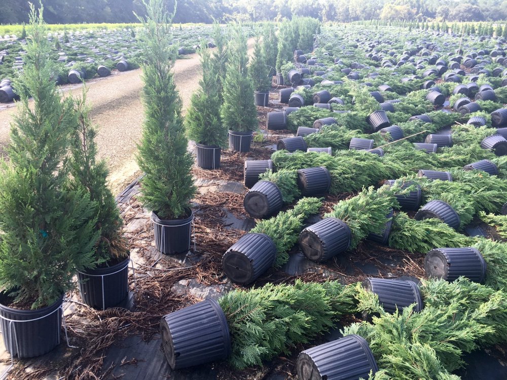
What kind of tree?
-
Signs of rotation
-
Pulsing up a bit again in Franklin county. Looking like one of those deals with a few good gusts of wind followed by a few hundredths of an inch of rain.
-
Screen doors slamming shut?
-
35KT BAF