dendrite
-
Posts
75,073 -
Joined
Content Type
Profiles
Blogs
Forums
American Weather
Media Demo
Store
Gallery
Everything posted by dendrite
-
So my mom has been in the hospital for 5 days with c diff and now one of my nephew’s friends was killed in a car accident in Londonderry last night. Terrible.
-
I think he has a secret webbed hand fetish.
-
00z will reel him back in.
-
Yeah it seemed like temps overperformed today, but we’re advectively stale today with full sun and the arctic airmass approaching for tomorrow. Seems like a good day to overperform MOS...especially with decent mixing and a lot of areas snow free.
-
I’m building a lot of anger looking at the extended progs and seeing run after run of late breaking shortwaves knifing their way into New England with arctic NW flow so that our region is the one special consistent area of suck in the CONUS.
-
Did you drop Lesco yesterday?
-
28 years ago today.
-
Probably
-
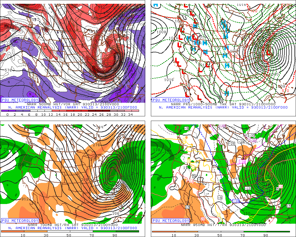
Actually that looks like shitty analysis with a second look at H5. Either way, hate seeing the white modeled.
-
Euro is a snowy solution for late next week in CNE. Kinda looks like an anafrontal wave flipping to snow from N to S before sliding out eastward. It’s probably not close to the final solution, but I hate seeing the wintry look overall.
-
Thankfully I never lost it. People south of me have been posting about it on the Northfield fb page.
-
30.2° +SHSN Coating up with a heavy squall now. Winds are roaring.
-
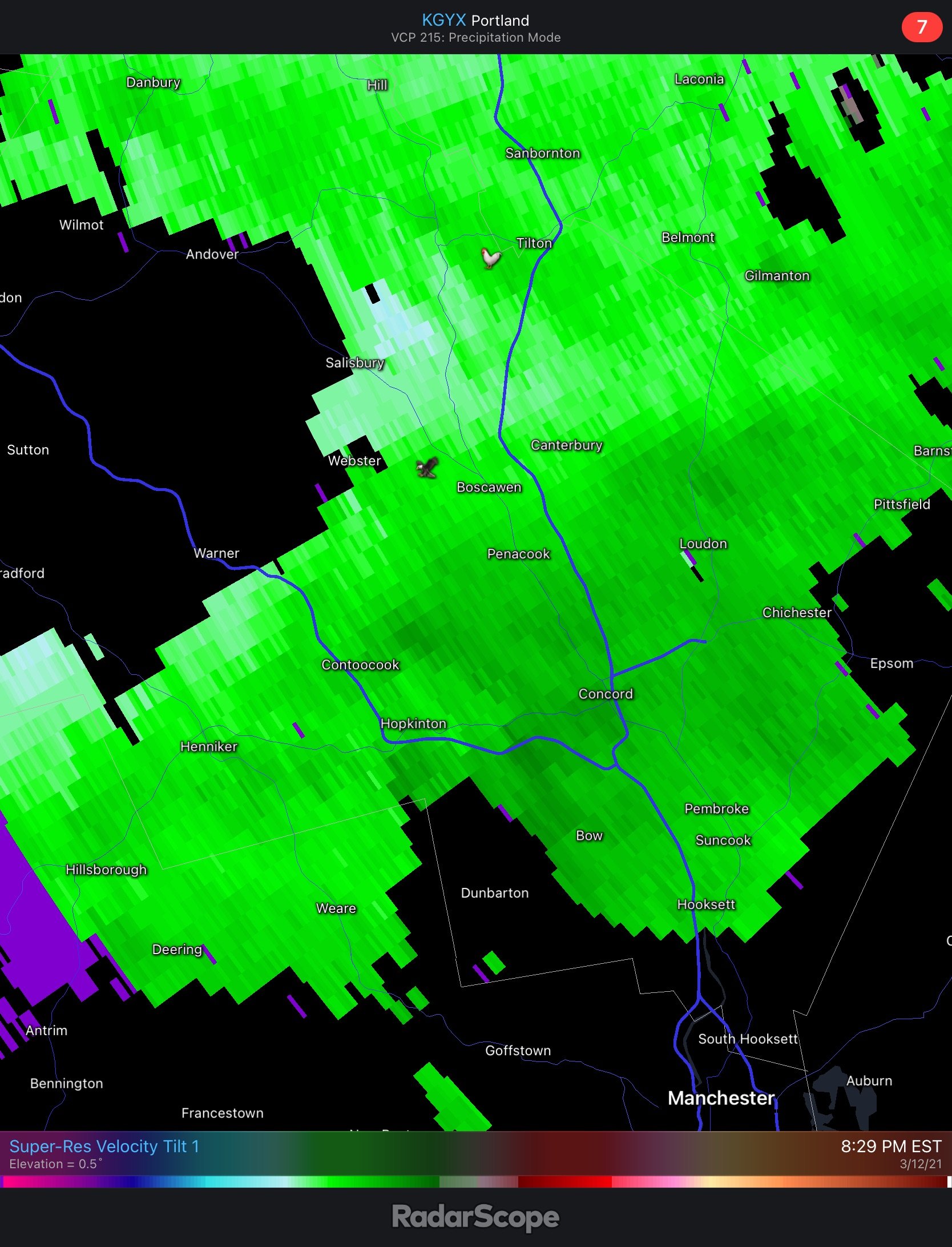
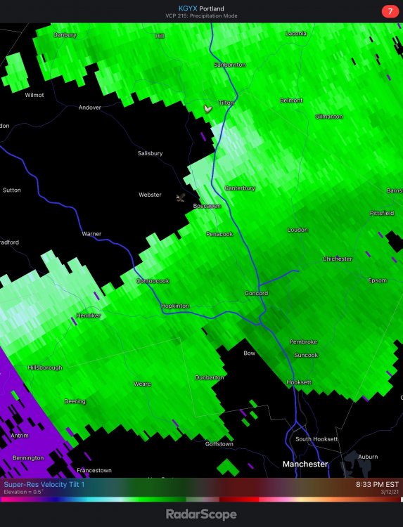
Doesn’t look like a lot, but there was a region of higher velocity that went through just S of here.

-
Something went through town just south of here. Some reports of roof damage and power is out. We had a good roar here at the time the reports were posted, but I only recorded 29mph. I assume some of the gusts had some evaporative assist.
-
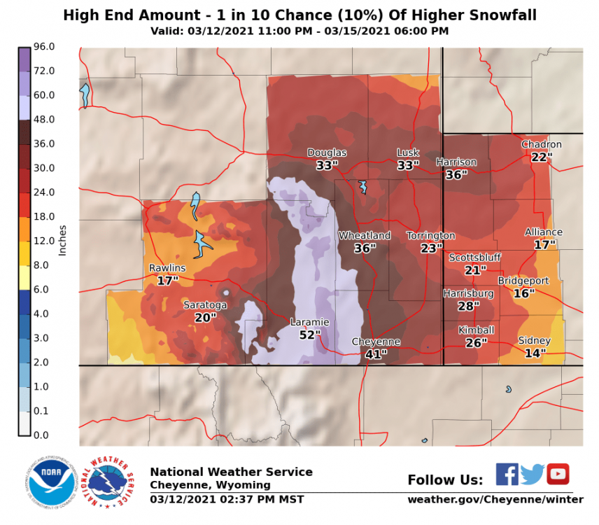
Weenie max potential. They dipped into George’s 72-96” shading.
-
You had 2 days of 60s up there?
-
Yup...dewpoints are low so you get these mini cold domes building in heavily forested areas where the wind can’t mix down. The melting and evaporational cooling really helps sustain that cold supply. I get it here in the afternoon from the back woods to my west. I can walk out a bit into the woods and feel the “front” hit me. In the evening it’s a continual battle on my Davis with the temp jumping sometimes 5F in a minute depending on if the wind lets up and the cold air oozes in or if we get a period of 5-10mph+ and mix it out.
-
The goofus bros are kinda alone for the ops...eps is a little flatter, but I haven’t looked at it much.
-
Goofus with a couple of RASN systems late next week while the euro warm sectors us for 3 days.
-
Front is through here. Still warm though. 42.9°
-
Guess we’re not done yet. Wind just ramped up. 62.6°
-
High of 61.2F here. 50-55F now depending on the wind speed. At least the roof and driveway are almost clear of snow/ice now.
-
Hornets and other insects are out. Rude awakening for them in a few days.
-
MHT and ASH 70
-
BML 66...lol