dendrite
-
Posts
66,814 -
Joined
Content Type
Profiles
Blogs
Forums
American Weather
Media Demo
Store
Gallery
Everything posted by dendrite
-
First convective feedback post of the year. 10/7...not bad.
-
Giants @ Pats could be fun Thu night.
-
-
Party like it’s 1991?
-
Went to bed at 50°. Just woke up to 64°.
-
wtf...where are my 60s? 45F with thick ovc at noon.
-
Threw the season so they could view leaves this year?
-
Socked in here and 42°.
-
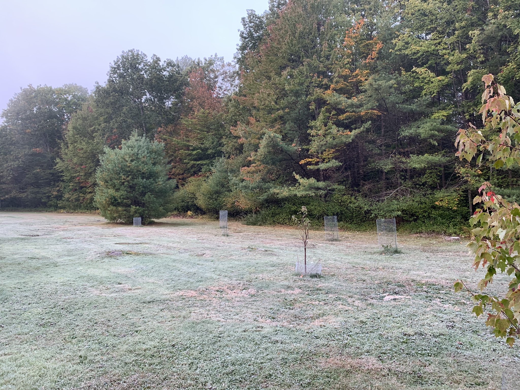
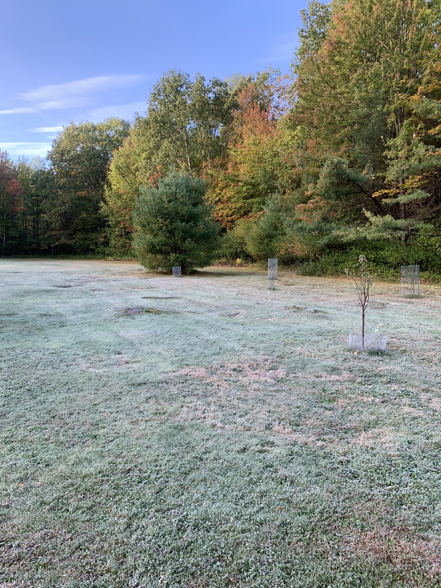
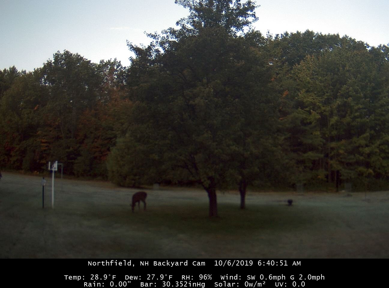
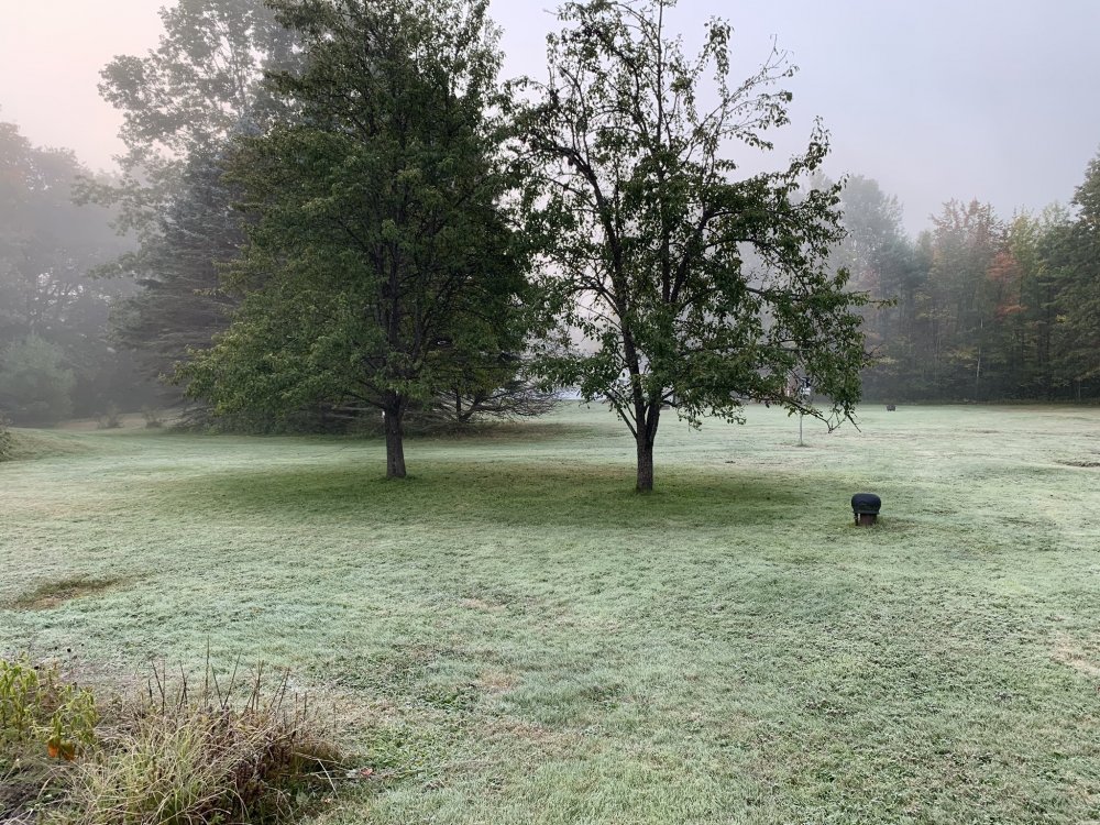
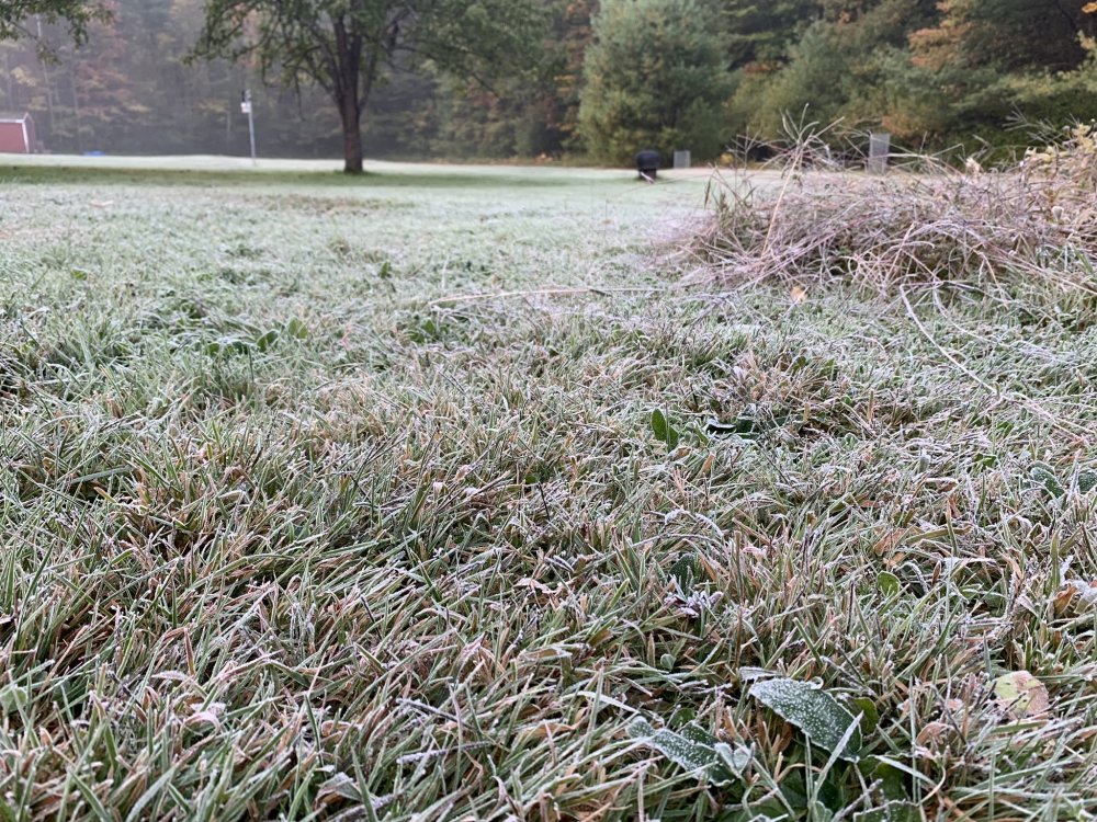
28.8° min. Back is a bit better so I got some frost pics. Standing water froze quite a bit too.


-
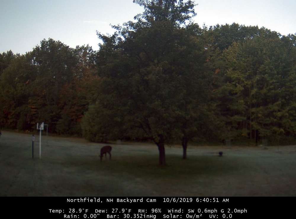
28.8° Very frosty this morning. Looks like our resident fawn prefers the unfrozen portion of the yard under the pear trees.
-
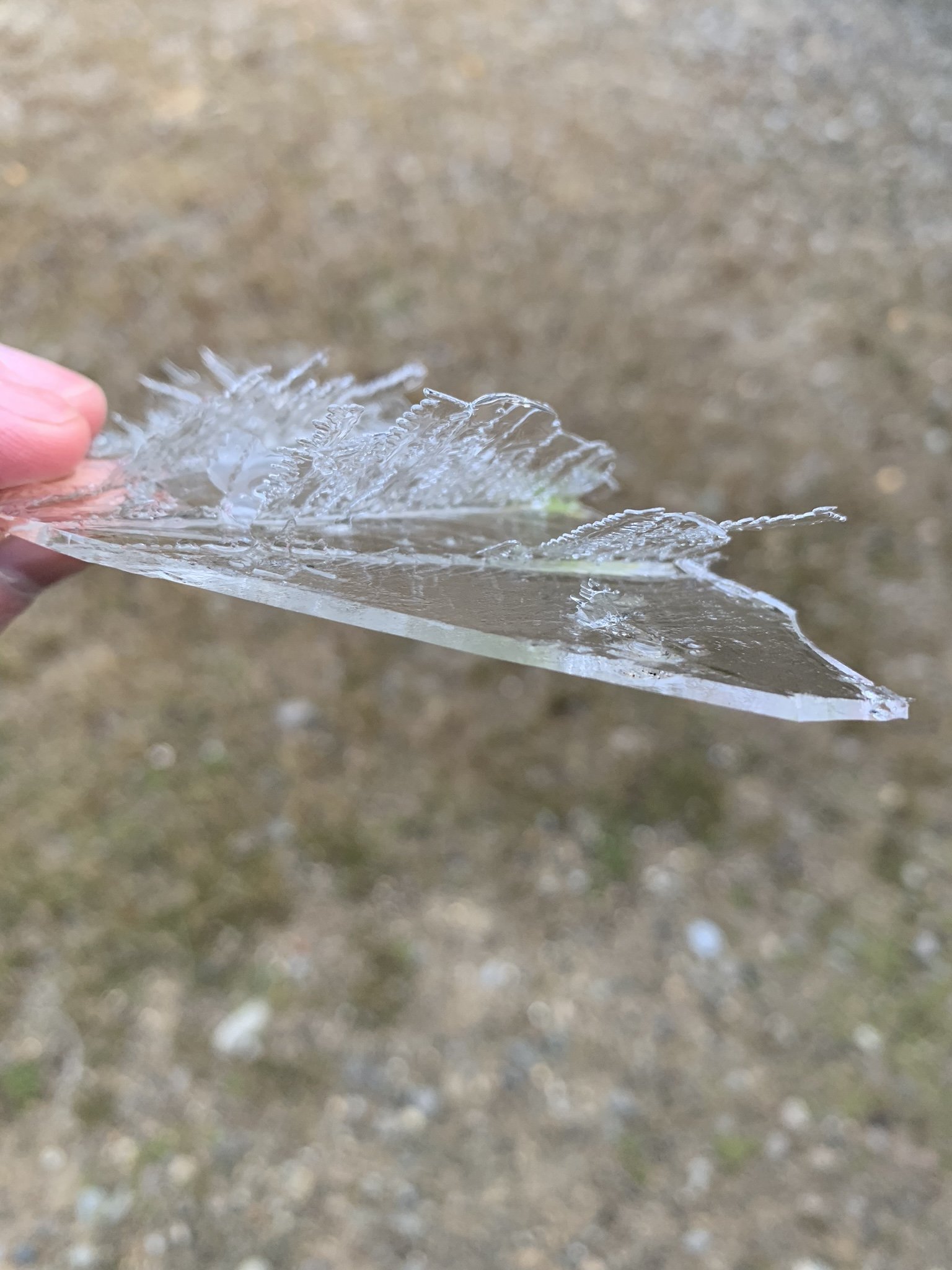
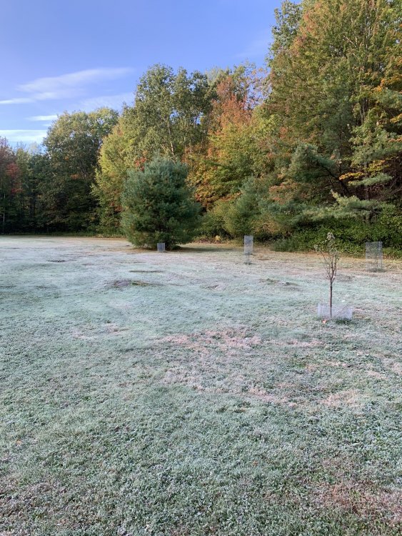
29.4° Nice freeze already. Looks foggy on cam too. Maybe some sunrise rime?
-
lol Was looking for the Maple Hollow temp and saw this
-
lol...PVC 36F wtf
-
BML 24° EEN 26° CON 27°
-
Cally time for both of you. Assuming the gauge is level, give each screw on both sides underneath the tipper a 1/4 turn counter clockwise. Scoot may want to go aggressive initially and go with a 1/2 turn or F it and give it a full turn. Just try to do the same for each side the best you can. Then wait for a bigger synoptic event to compare again...something like 0.25-0.50 or more.
-
Min 31.6° with frost, but the anny is lightly whirling and tree tops whistling in the breeze.
-
Mitch just chopped his computer with an axe.
-
39.9/29
-
Ullr could kick Jesus' ass.
-
Down to 22F on MWN with 70mph gusts.
-
Someone needs to black out BUF from those charts...pretty much useless for our purposes.
-
Noticed there's 2 non-commissioned AWOS sites out there that are probably dear to your heart. https://mesowest.utah.edu/cgi-bin/droman/meso_base_dyn.cgi?stn=0ME1&time=GMT https://mesowest.utah.edu/cgi-bin/droman/meso_base_dyn.cgi?stn=FTK9&time=GMT
-
Thanks for the back wishes. Hope everyone else stays strong and healthy too. Old begets old. Anyway, 49.4F right now with SCT skies and gusts to near 30kt at the ASOS. Seriously, wtf.
-
-
It can be tricky. I've seen HIE/BML start a night at like 40/40, clear out, and stay calm. Then they procede to fall to something like 25/25 before finally succumbing to freezing fog. Lower els can tap into colder dews that drain down into the valleys as hill/mtn surfaces radiate. If I see MWN running very dry in the evening despite a near saturated start at those sites I always figure they'll radiate like mad anyway. It seems to be difficult to "fog out" once you get into the mid 20s too unless you're near a body of water or have laying water handing around. I mean, how often do we see fog with temps below 20F? Only the most extreme rad pits seem to do that. Diamond dust is pretty rare south of NNE too. But yeah, minus continued advection overnight, the afternoon dewpoint is a good estimate. If you're confident you're going to see radiational cooling MOS can be tough to beat too.