dendrite
-
Posts
75,084 -
Joined
Content Type
Profiles
Blogs
Forums
American Weather
Media Demo
Store
Gallery
Everything posted by dendrite
-
It was torchy here through midday. Overcast and noticeably cooler and lower humidity now.
-
He never left?
-
Below normal for VT is still more than most of us.
-
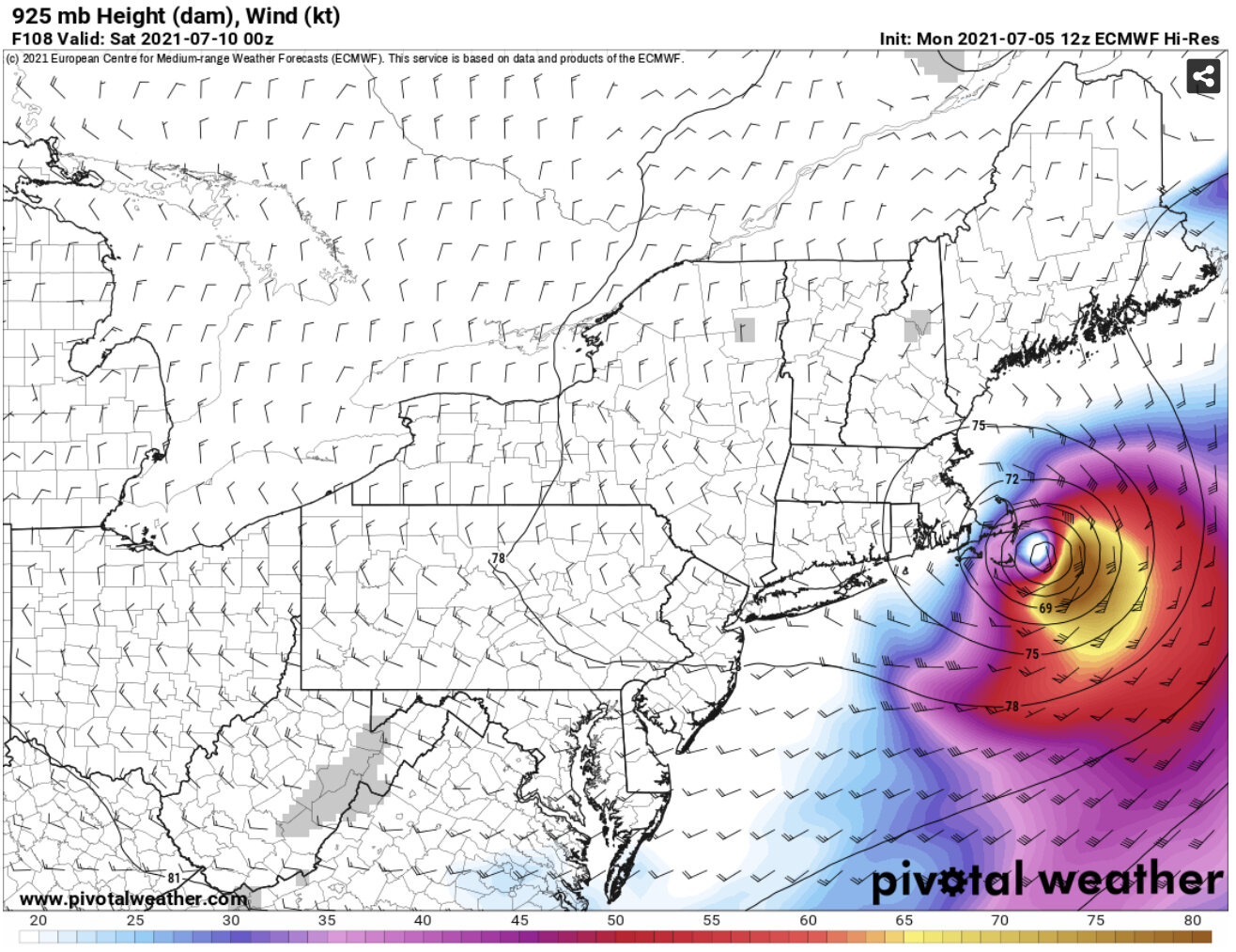
6z HWRF looked more ragged over land, but cut it inland to over my head. So I should clarify I agree with you specifically about the euro keeping that core over the interior. That's unlikely. The track is more reasonable.
-
6z NAM, 00z Euro, and 6z RGEM all had a similar track. I agree with you that physically it doesn't seem like the occam's razor solution, but when models from different agencies and physics start to align I take a little more notice...but your thinking is still in the back of my head.
-
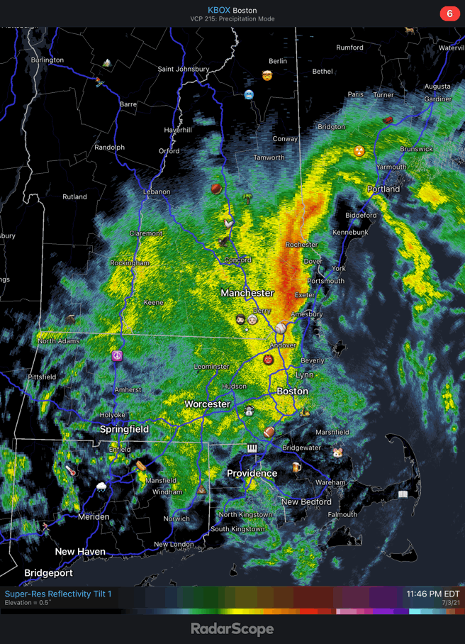
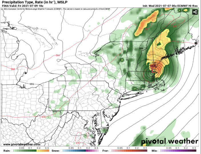
3k NAM looks like the euro with track. Could be quite the soaker.
-
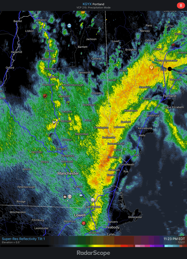
lol…nyc to psm. We’ll take that track for rain.
-
A little over 3” here…want more.
-
Mix some down
-
Another inch for you incoming.
-
83.5° now…didn’t take long once the sun broke out.
-
Got up to 79° but back down to 76°. Torch fail today, but still muggy with the dews.
-
Beauty of an afternoon here. Max of 74.5F. Pretty much COC from midday onward.
-
Glad we don’t live in Australia.
-
Boo gone wild this season.
-
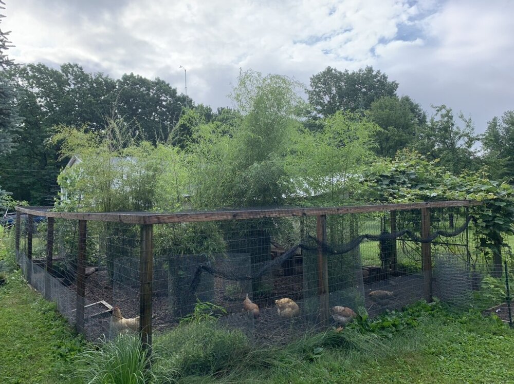
Looks great. Water ftw. I’d rather have dews than drought.
-
Need a lawn thread update.
-
Gonna need it to track to our west.

-
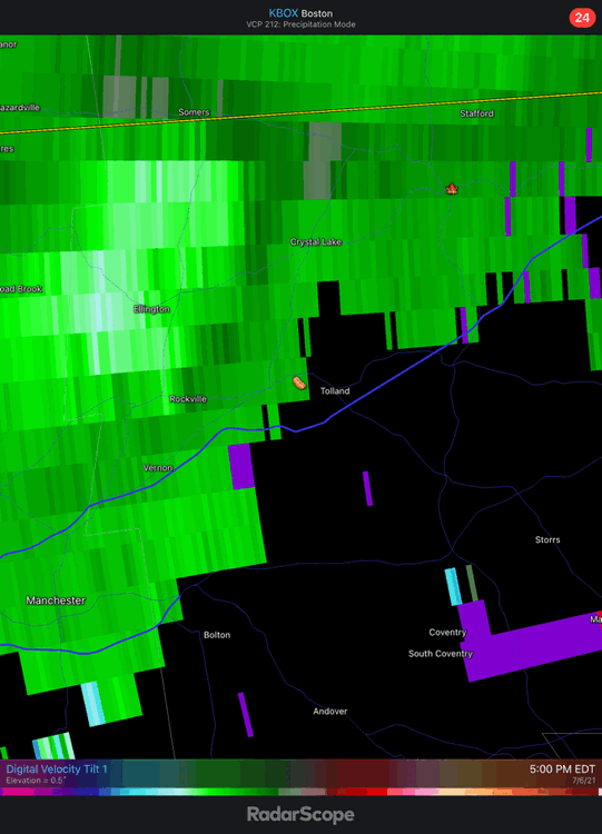
Dumping right now. Getting a few rumbles too. 62.8°
-
Rotting cold conveyor into S ME and NH. heh
-
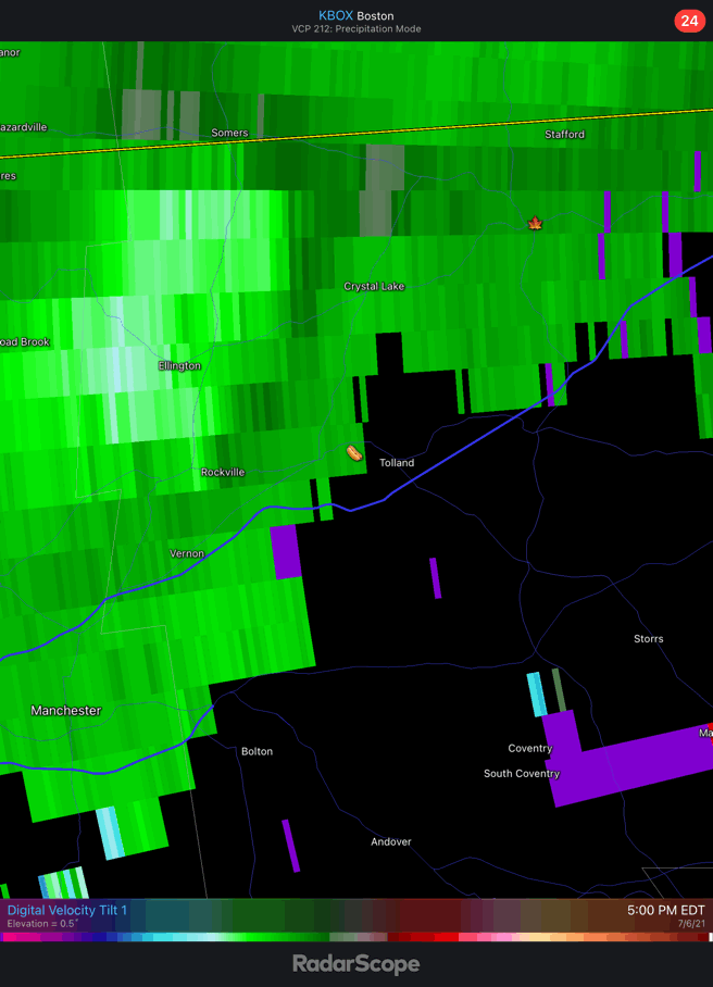
Should probably post BOX as well.

-
Back dat azz up
-
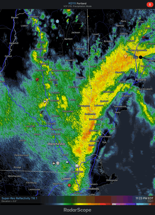
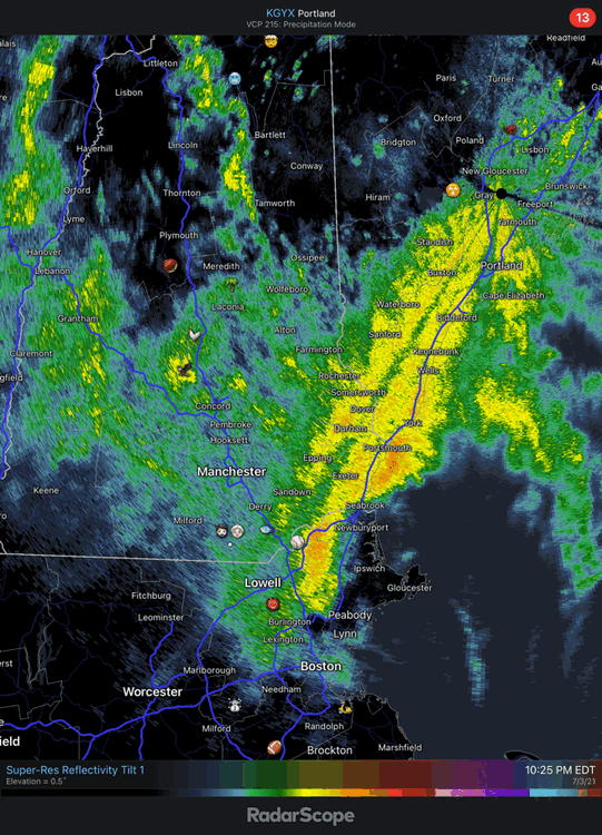
Pretty dynamic for 7/3
-
lol at the bunt. A's deserved that outcome.
-
MWN dropped from 43° to 37° in an hour with rain. lol if they flip.