dendrite
-
Posts
75,073 -
Joined
Content Type
Profiles
Blogs
Forums
American Weather
Media Demo
Store
Gallery
Everything posted by dendrite
-
Yeah we’ve lost wednesday lol. Euro and gfs are flirting with zr here in the afternoon.
-
I worked in Tyngsboro for that and I remember it being a sloppy mess. Heavy wet snow and then heavy rain. Blue bomb more in and up.
-
Sore thumb.
-
-
For this event yeah. Of course I never got gas for the snow blower
-
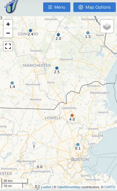
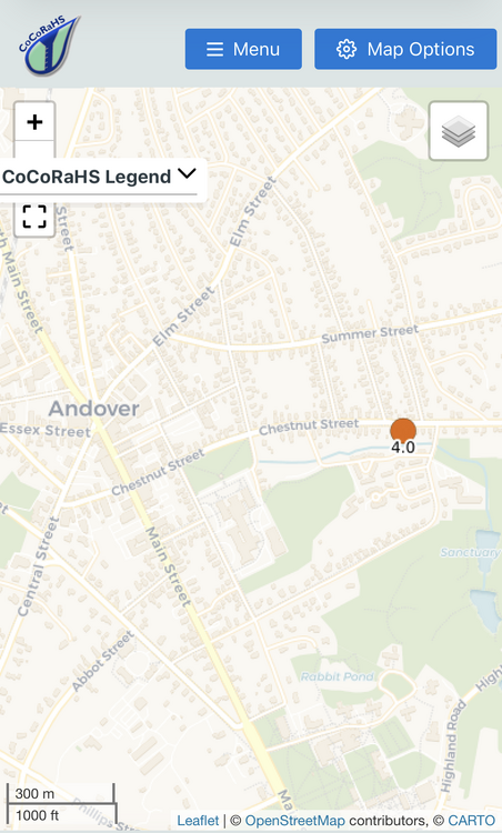
5.3”/0.53” final Cores were 2.1”/0.28” and 3.2”/0.25”
-
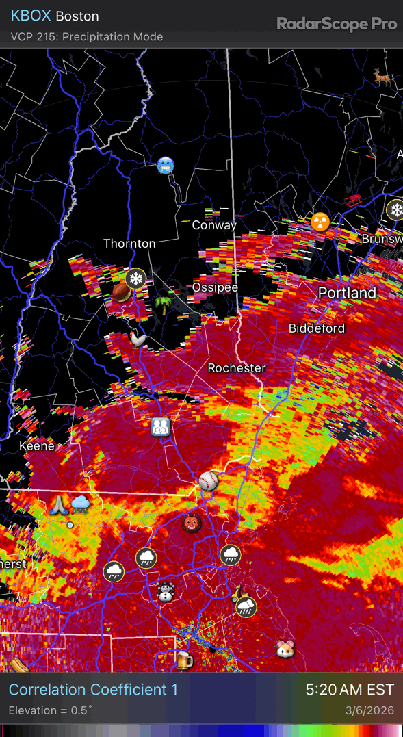
Warning flags were there. That elevated warm nose was just warm enough to produce mostly sleet CON-south. I think all models underestimated it a bit, but some of the mesos were a little more sleety looking. It was so thin on forecast soundings just above the cold wedge that models may have needed more vertical levels to really “see” that full +1C in there…just guessing there. I thought 2m temps looked fairly spot on although I didn’t focus on what mesos had for everyone.
-
22.4° -SN Pretty good growth despite nothing on radar overhead. Probably a last hurrah.
-
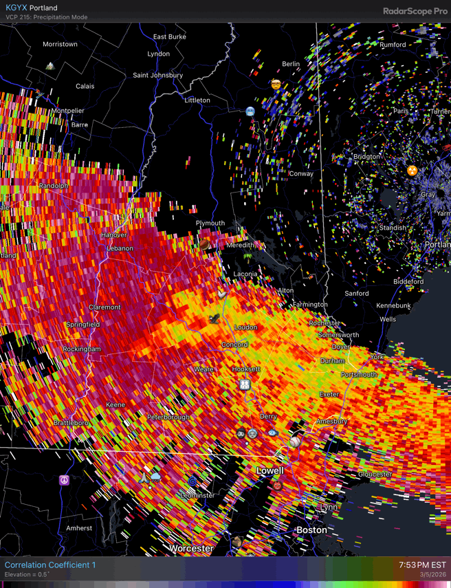
The snow line is finally working into NE MA now

-
Whoa…he just asked where you worked. But we’re very accepting here.
-
24.2° -SN 2.1”/0.28” Looks like sleet mostly won out south of here
-
Ditty back up to 32.1° Ice fail
-
28.2° SN 0.8”
-
-
Still a lot of low CC on dual pol up here but we’ve been in the better lift and all snow for awhile.
-
29.0° SN Just talked to my mom and it’s snowing on the north end in Manch.
-
All snow 29.9° Should mix or flip at MHT within the next hour
-
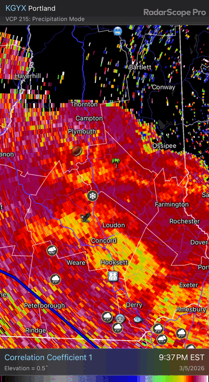
Starting to flip from here to CON…CC climbing

-
Similar here. Mostly sleet, but a few slower falling flakes mixed in. 30.2°
-
HRRR is still trying to give CON/MHT 6”
-
Hopefully +3C
-
31° with light freezing rain and sleet
-
Hopefully his ceiling caves in
-
32/26 here after a high of 49°. Not bad. Hopefully it freezes up a bit so we don’t get a mucky refrozen layer on the bottom of the driveway.
-
You’ll be mostly frozen…may as well cheer on snow over sleet.