dendrite
-
Posts
67,071 -
Joined
Content Type
Profiles
Blogs
Forums
American Weather
Media Demo
Store
Gallery
Everything posted by dendrite
-
Foliage is starting to pop around here. Seems pretty vibrant in spots to me. I never noticed drying or wilted leaves this summer though.
-
So CON bottomed at 27° which completely breaks the record low again. 3 straight record mins with no ties. Pretty impressive in this era and at that site...especially September. They have obs going back to 1859.
-
30.4°. Hope the avocado and fig trees are okay.
-
31.5° First time below the 32.0° mark. CON is 28° so that ties the record for today. Trifecta ftw.
-
Same problem as oceanst?
-
Make sure you treat them again in the spring because they can put out a few generations in a season and multiply quickly. I’ve gotten some pure neem oil off of amazon and mixed it with mild soaps (like those dr bronners castille ones) and water and sprayed some plants with it with some success. That should protect the pollinators since neem only kills when it is eaten. The problem is you really have to saturate the leaves. The systemic non-organic insecticidal soaps work well too, but they probably harm the bees. The systemic ones allow you to just spray the tops of the leaves and then it works its way through the plant. Neem you would have to spray on both sides...kind of a PITA.
-
Bring the warmth, dews, and rain on. I want my growing season extended.
-
Looks like TAN started to fog out based on vis obs. Everytime it got down around 34° the vis spiked down. There was some legit fog around 7z.
-
GFS is really wet in that period as well.
-
CON just made it to 27° so that’s 2 straight clear record lows. Impressive for 160 years of recording history.
-
CON is down to at least 28° for a tied record. 32.4° here but we’ve had a pesky wind off and on all night.
-
BML 28 already.
-
I had to dig a hole out in the woods today for one of the birds and under the decomposed leaf/wood litter it's still moist. The forest floor has an ability to withstand these occasional dry years. It's always lush and green out there...no fertilizer or water required. Man made lawns are another story...
-
44.6F About 8F ahead of yesterday at this time.
-
Phineas Sinks
-
Yeah. He’ll be crying for his mama when he’s “only” -15° with 35mph winds.
-
Yeah that’s not a bad thing. Let the valleys keep that -30° garbage. That’ll keep you safe from any possible summer frosts as well. Alex is always at risk at his location.
-
We haven’t had many mid September airmasses like this in the MOS record. When you get something anomalous you usually have to go a little more aggressive than the machine values. I think the rad pits radiated more than MOS expected. The wind numbers were in that 3-5 range for 6-9z, yet the pits went calm.
-
31°. Mon AM is 30°. Could pull a trifecta.
-
Balmier 35.9° here. Tonight’s the night though.
-
@Damage In Tolland I went into the raw 1-min obs for BDL on that 99F day in July and they actually hit 100F in there. But with the 5-min running mean it only averaged out to 99F. Does anyone have the time the official 99F temp occurred? I assume it was 1919Z or 3:19pm EDT. The raw 100F was 1917Z. 14740KBDL BDL2020071914151915 NP 0000 0.00 29.680 29.682 29.683 98 60 14740KBDL BDL2020071914161916 NP 0000 0.00 29.681 29.683 29.684 99 59 14740KBDL BDL2020071914171917 NP 0000 0.00 29.680 29.683 29.683 100 60 14740KBDL BDL2020071914181918 NP 0000 0.00 29.679 29.681 29.682 98 59 14740KBDL BDL2020071914191919 NP 0000 0.00 29.677 29.680 29.681 98 59
-
Only 3 temps have been colder than this at this point in the season. 27F on 9/15 twice (1975 & 1895) and a 27F on 9/16 (1964)
-
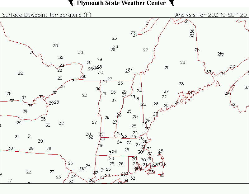
HIE 22, BML 22, EEN 27, CON 28R, LEB 29, AFN 30, LCI 30, 1P1 31
-
I wonder if Stein contributed to this? There’s basically no sfc moisture in S NH right now. That sfc can just keep losing heat without dew quickly forming.