dendrite
-
Posts
67,071 -
Joined
Content Type
Profiles
Blogs
Forums
American Weather
Media Demo
Store
Gallery
Everything posted by dendrite
-
Euro is close to flipping the higher els in VT and N/W NH Saturday.
-
74.0F Torch!!
-
We 70F. I wonder if this is it for open windows for 2020...at least until Christmas eve.
-
Yup...NAM caving south. Stein lives on for NH.
-
Calm here. 41° OVC
-
NAM gone wild
-
27° for CON. I wonder what their record is for most 20s for so early in the season.
-
Range: All of New England. Feeds on craft beer. Invasive and can be a pest during the warm season. Multiplies rapidly in humid summers following snowy winters. Very predictable behavior despite it thinking it can outsmart predators. It is the prized meal of the Coastal Mantis (Scooterus Knowsis). Sometimes mates with the cranberry ass borer (Rayus Fortyseventius) producing hot dog shaped larvae.
-
29.9° Probably should’ve brought the avocado trees inside.
-
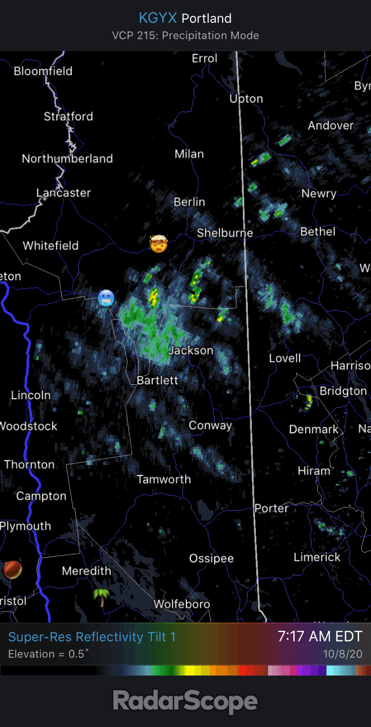
Yeah coverage for VSF-EEN is pretty bad. It always appears like echoes are exploding toward me, but it's just the meat and potatoes of the best lift and reflectivities getting into the beam path.
-
Synoptic season. We’ll keep putting some dents into Stein.
-
Looks like a winter CAA radar
-
Pretty breezy now. MWN gusted to 120mph. Looks like the snow is down to the Hermit Lake snow plot station around 3700’...31.8° there.
-
Yeah some mangled flakes or graupel wouldn't be surprising.
-
0.07”. No wind. Yawner.
-
In our neck of the woods it just seems like it's getting a lot wrong when it matters...whether it be timing fronts, QPF, storm tracks, temps, etc. I'm with you though.
-
I'm sure the stats show it's nailing the H5 heights out over the north Atlantic and Pacific though.
-
56.9F We rain.
-
Blech. Are the GRIBs free now?
-
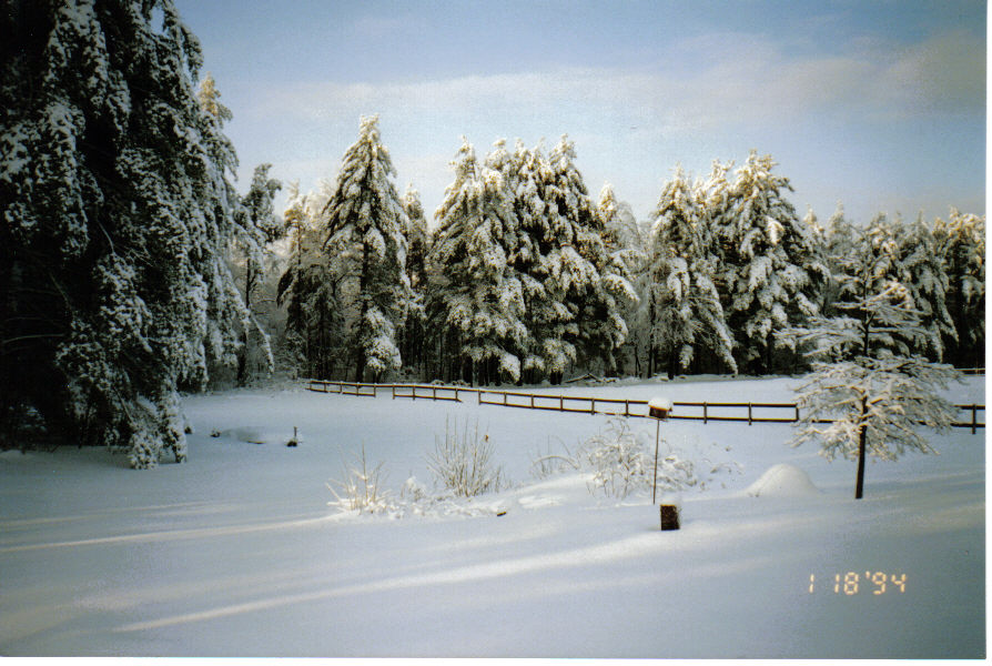
Man that was a wild night. Snow to prolonged ZR and then back to TSSN. https://mesonet.agron.iastate.edu/cgi-bin/request/asos.py?station=MHT&data=metar&year1=1994&month1=1&day1=17&year2=1994&month2=1&day2=19&tz=Etc%2FUTC&format=onlycomma&latlon=no&missing=M&trace=T&direct=no&report_type=2
-
yup CON,1994-01-20 02:00,KCON 200200Z 19003KT 10SM CLR M27/M29 A3047 RMK SLP330 T12671289 CON,1994-01-20 03:00,KCON 200300Z 00000KT 10SM CLR M27/M29 A3048 RMK SLP333 T12721289 CON,1994-01-20 04:00,KCON 200400Z 00000KT 10SM CLR M27/M30 A3048 RMK SLP333 T12721300 CON,1994-01-20 05:00,KCON 200500Z 10003KT 10SM IC CLR M29/M31 A3048 RMK ICB30 SLP333 T12941311 CON,1994-01-20 06:00,KCON 200600Z 00000KT 10SM IC CLR M32/M34 A3047 RMK SLP330 60000 T13171339 CON,1994-01-20 07:00,KCON 200700Z 02004KT 10SM IC SCT005 M29/M32 A3049 RMK K LYR SCT SLP337 T12941322 CON,1994-01-20 08:00,KCON 200800Z 02004KT 10SM IC SCT005 M31/M33 A3049 RMK K5 SCT/ SLP338 T13061333 59085 CON,1994-01-20 09:00,KCON 200900Z 00000KT 10SM IC SCT005 M32/M35 A3049 RMK K5 SCT/ SLP337 T13171350 51007
-
Yup...thank goodness we found a place where we could rent a genny. It was their last one. It was well into the -20s when the power came back on around midnight of day 2. I think that's the last time I ever saw CON report IC.
-
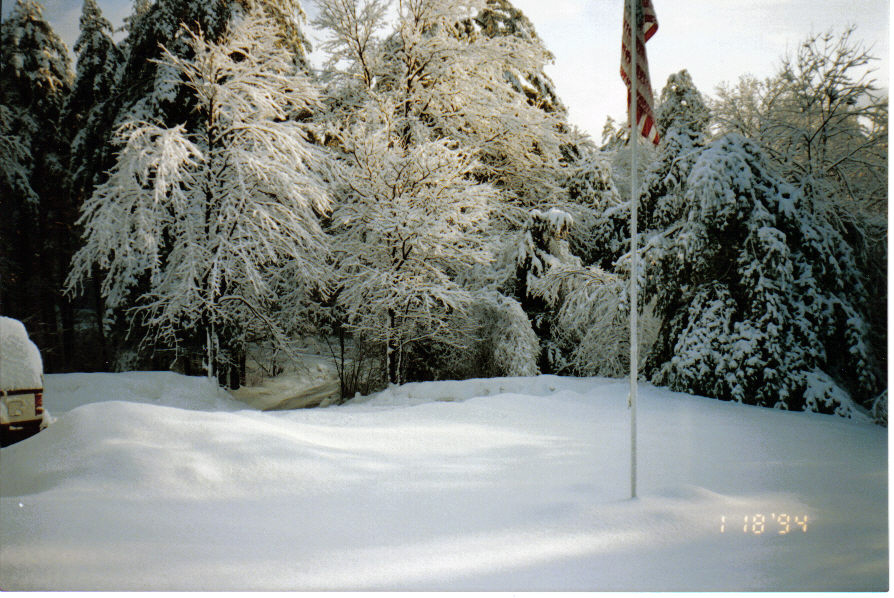
This was from yore when I lived in Auburn. We lost power for 2 days from this.
-
bob and tblizz in speedos while the infrastructure collapses over the interior.
-
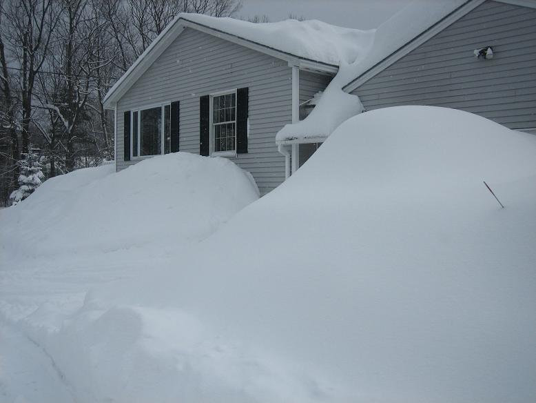
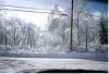
I think this was after the early March event in 2008 when the depth reached 43".