dendrite
-
Posts
75,073 -
Joined
Content Type
Profiles
Blogs
Forums
American Weather
Media Demo
Store
Gallery
Everything posted by dendrite
-
Yeah we’ll all finish decently AN. But we’ll still be a pocket of lesser warmth.
-
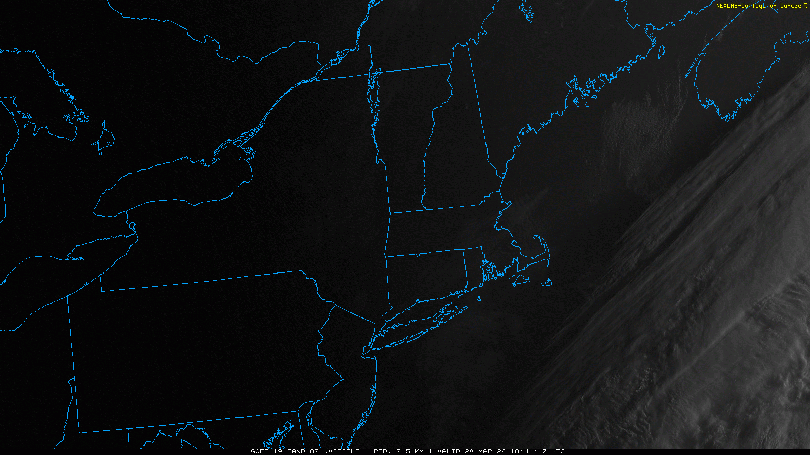
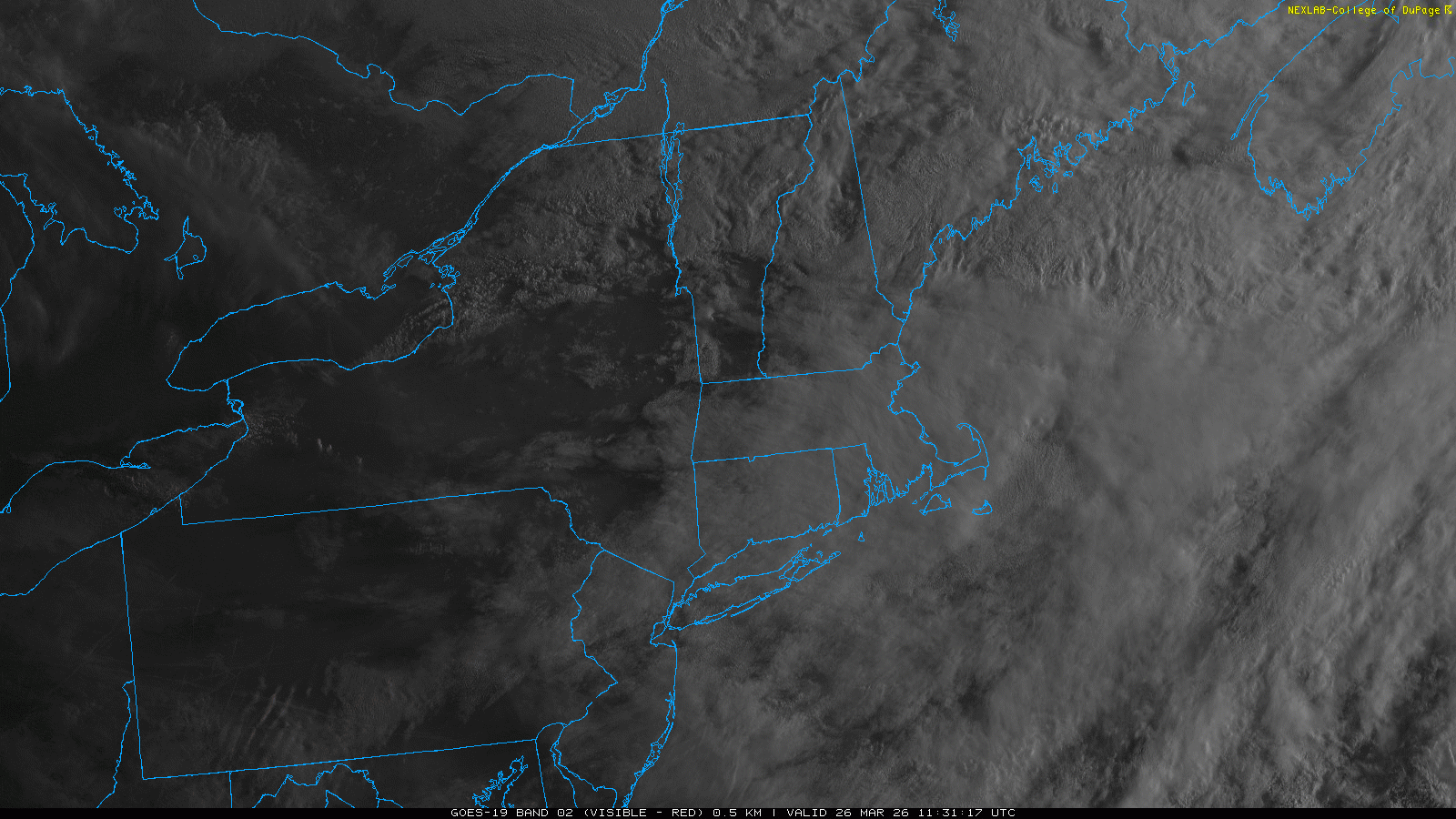
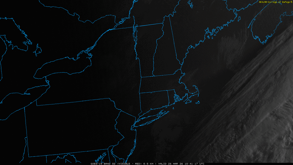
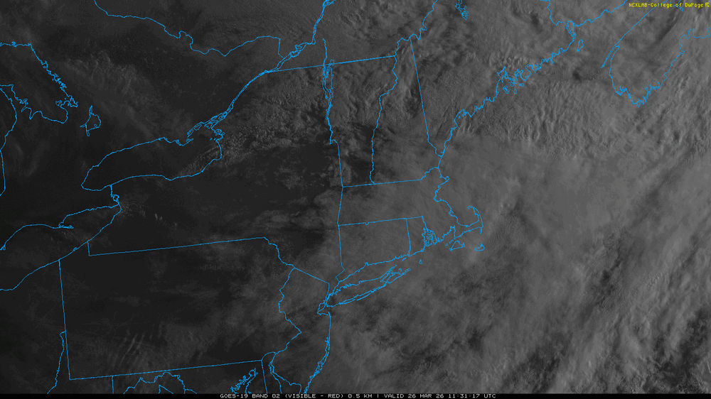
“Came in” Haha…more cloud BS up here today
-
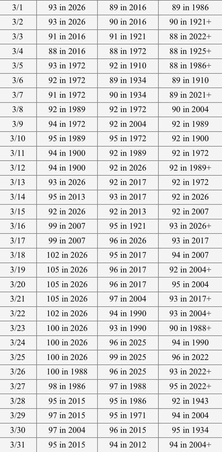
Season to date BTV 79.8” ORH 79.2” PVD 69.3” MHT 66.6” PWM 63.2” BOS 62.8” CON 58.0” BDR 55.9” BDL 52.7”
-
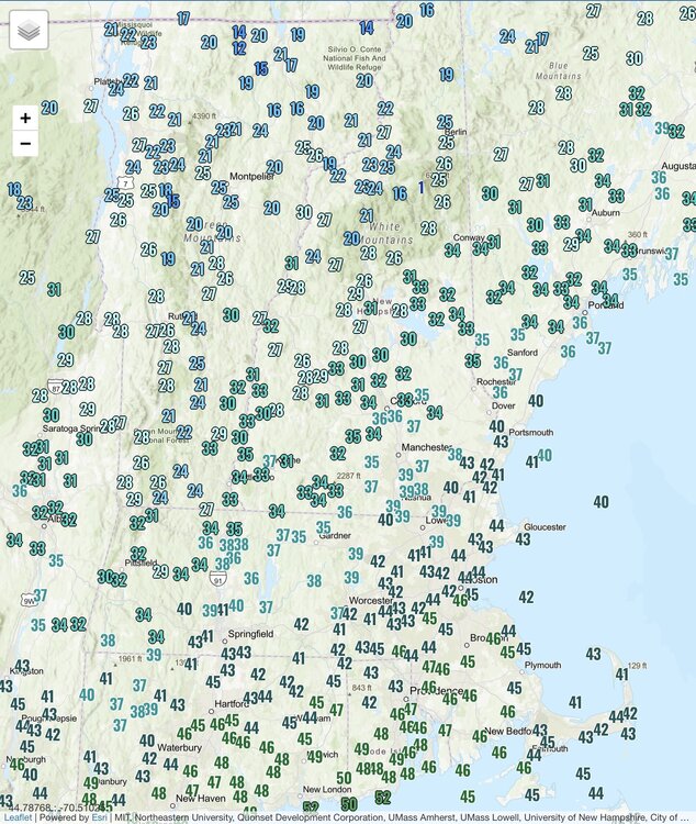
Clouds came in right at sunrise. 23.6° at 10am
-
60s and 70s to start the week look more interesting
-
17.7° Brutality
-
-
Will left the board. Winter is over.
-
Sunny and 30-35 most of the day, but it was nasty with the wind and low dews. Another cold 36hrs and then we watch Pope plant his tomatoes since frost/freeze season is over.
-
Impressive gradient N to S this morning.
-
Mostly piles here except for some areas that receive less sun. It’s brutal out there this morning. Down to 29.9° after a 2am high of 45.6°.
-
Good luck to your plants.
-
Last freeze 3/29?
-
Yup. Impressive month up there even if it’s just dead rad cooling airmasses. Kinda surprised they haven’t broken one record low max although they’ve come close a few times. They’ve had 4 or 5 low mins though. But just a relentless barrage of 25 to 35 BN days.
-
Love APF. When I truly reach the point of AWATT I will be somewhere down there south of RSW with the iguanas.
-
I told him the other day that the NAO has been verifying more positive than those d14 mean progs since mid Feb. Looks like the AO has since 3/1 too.
-
What a run Phoenix is on. 1 March 100° on record before they obliterate the record book with 8 straight. Up to 98° so far today.
-
Managed 60.6° here despite no sun!
-
Absolute boning up here again. Have had maybe a few minutes of sun.
-
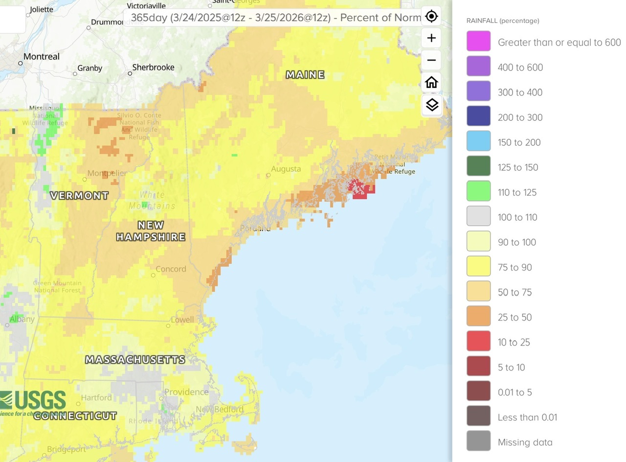
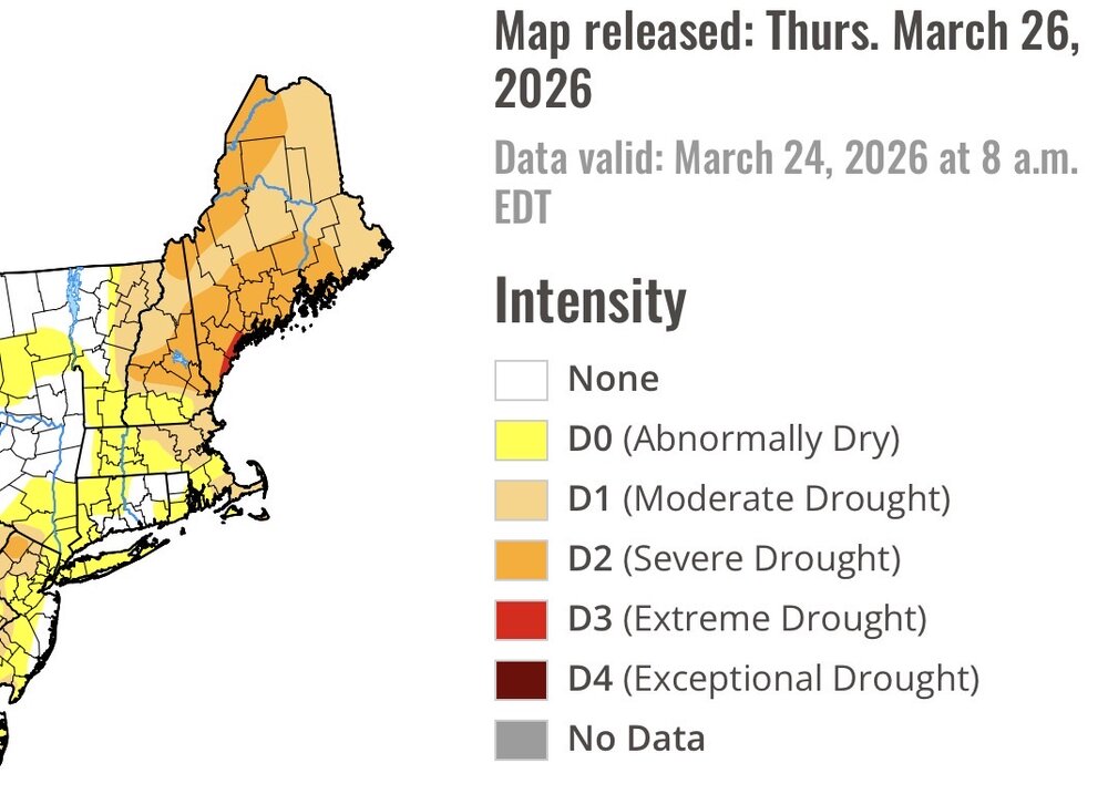
Scoot’s favorite just released. Looks similar to the shading of the 365 day departures.

-
Drives me wild continually seeing clouds moving W-E with blue sky to the west and it never arrives. You can actually see the clouds reforming with the naked eye.
-
If it’s above freezing at night it’s a beautiful day.
-
0.02” Some breaks to the north 36.7°
-
There were some flakes mixing in up here in early May too. I want to say around 5/6?
-
No but the nearby sites were all 50-58”…Weare, Francestown, Greenville, and Bradford.