dendrite
-
Posts
75,064 -
Joined
Content Type
Profiles
Blogs
Forums
American Weather
Media Demo
Store
Gallery
Everything posted by dendrite
-
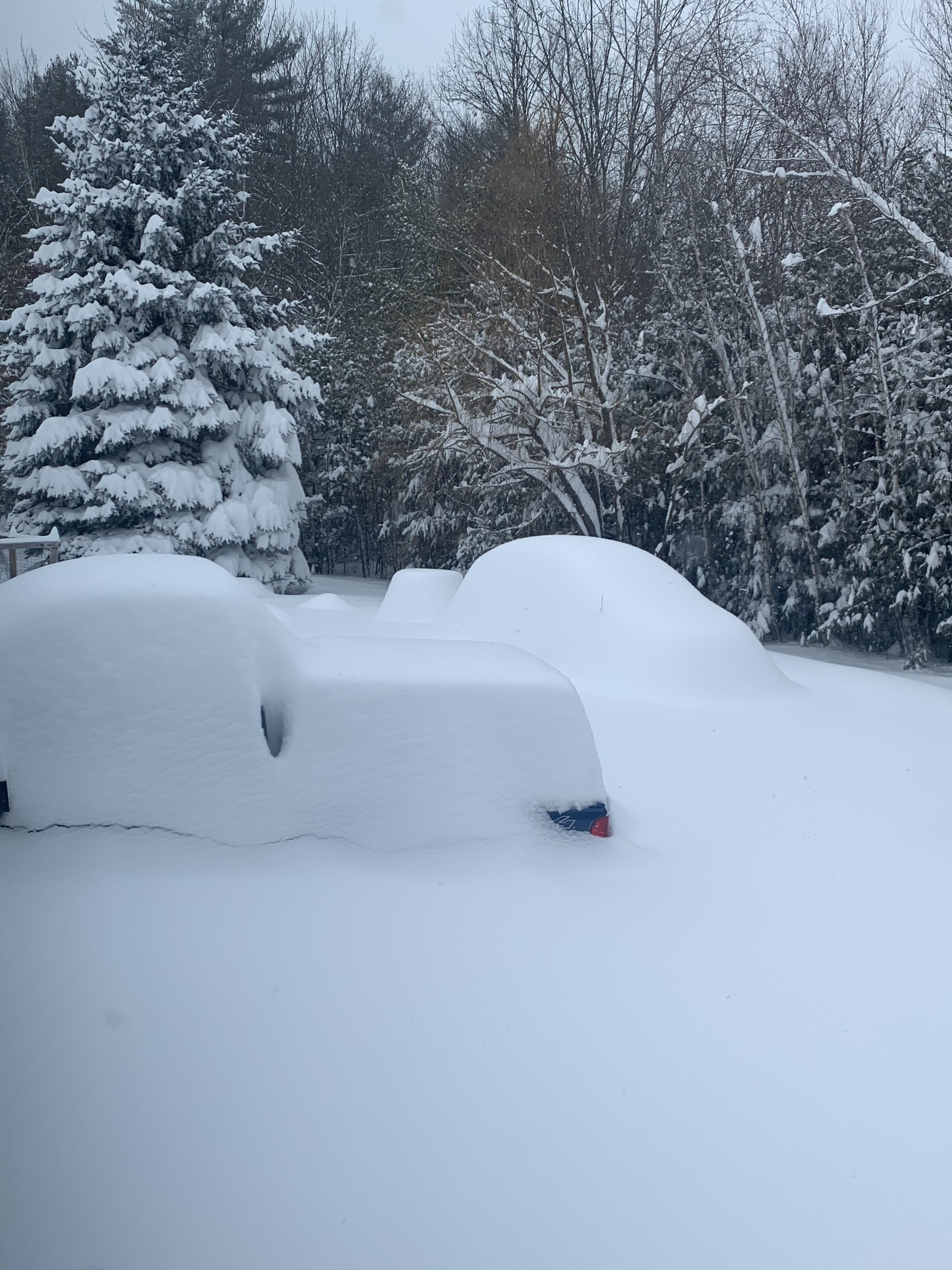
Actually getting some flurries up here as well. 28°
-
20.6° with a breeze. Looks like winter is here.
-
Everyone posted about the TSSN at once in E MA on here. Fun event.
-
Me too

-
How’s it looking for Georges Bank?
-
Pretty warm up to H7 too. Maybe some H75-8 tongue action?
-
36-37 was 9.0"...best event was Novie
-
34.4” I think. Then the cutter turned it to almost nothing a week later.
-
Your snow is compacted before it lands. lol
-
We choose no wind all day, all night.

-
Sure. Maybe. I mean the axis for the block on the 12th is more toward Iceland, but there's a ridge extension down into the US with the s/w in question kinda undercutting it. Then you have a potent little 60/60 ULL that cuts through the block and slowly meanders just to our NE. So there's still some subtle features to iron out. A little less ridging to the north or a stronger s/w and it wouldn't be too difficult for CNE to steal. Odds are obviously against it though. I'm only expecting flurries at best with all of that dry air in the mid levels trying to advect in from the NE.
-
Still plenty of time to steal it.
-
47° and 0.91”
-
Kidding aside…we tend to have 3 different things going on at once. We have people here looking for sensible weather, those that are looking for specific events to track in the short/med range, and then those that are trying to sniff out the LR pattern. It’s like comparing climatology and meteorology…they’re intertwined, but still different. I mingle with the LR stuff sometimes, but it’s not my passion. I prefer tracking imminent events and then the observing/nowcasting aspect. I respect those that are into the d10-15+ analyses and I know enough that it’s a different beast. Favorable patterns don’t always produce winners and sometimes a weaker pattern pulls off a title. The 2007 and 2001 Pats are good examples. So we laugh, we cry, and we troll, but I think most of us here understand the difficulties and challenges with the differing forecasting periods.
-
I wish I lived at H5 and d10.
-
5 or 6?
-
BDL had 12.4” through 3/15.
-
Close. Feb 2
-
It's trying. yeah, no...that northern piece never dropped in
-
Mr Ginxy the Christmas poo?
-
Like I said to pickles yesterday, I'm always wary about modeled NAO region blocks in the LR. But it doesn't really matter much for my area. It can snow a variety of ways...just get some systems. I'm fine with the PAC driving the bus.
-
I didn't get above 10F for like a week I think.
-
348hr eps control 2m temp anomaly image I remember when I used to care what he had to say.
-
The GFS. Pumping out shit since 2002