dendrite
-
Posts
75,095 -
Joined
Content Type
Profiles
Blogs
Forums
American Weather
Media Demo
Store
Gallery
Everything posted by dendrite
-
Ate it. They are voracious mini t-rexes if they get a chance. I’ve seen them eat frogs, salamanders, newborn chipmunks, and even a hummingbird…lol. The hummer hit the window and was either stunned or near death and the chicken found it. I chased after it, but it ran to the other side of the yard with it and after a certain point you just let them do what they want with it to take it out of its misery faster.
-
AEMATT trying to take the rest of us down with them
-
Pickles has been hunting cougars for years. One finally got him last year.
-
We’re all invasive
-
For highs?
-
Had a chicken snag a peeper tonight. Stuff like that is always tough to watch.
-
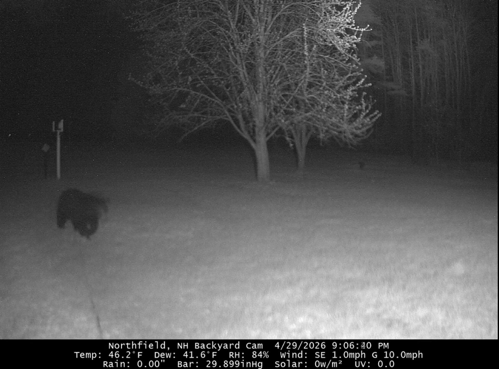
Holy bejesus. I let the chickens out to free range around 7 and within a few minutes the mama bear walked out into the neighbor’s yard. Of course I had a chicken near the property line. I made as much noise as I could without approaching and it ran back into the woods. Not a fun night corralling birds for 90 minutes. I set up a new Wyze cam a bit ago and aimed it on the coop. Feeders are in.
-
Rained all day and only 0.27” to show for it.
-

-
Just figured it out...windows did an update and had some error with weatherlink. it was an easy fix, but took awhile to figure it out. We up.
-
Yup…the noseeums are the worst. Right up there with the peak of black fly season. Can’t do anything at night unless you’re in a screened in lanai.
-
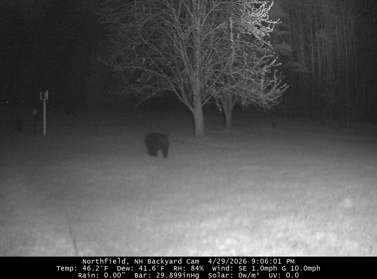
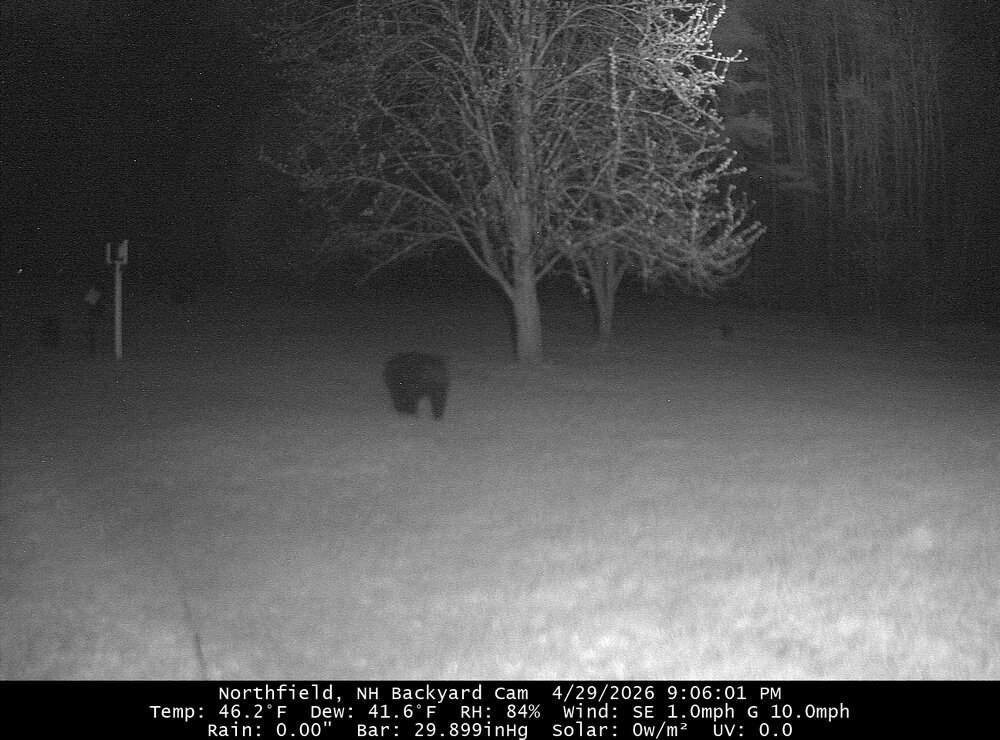
Looks like there were 2 cubbies. I had just gotten home from the grocery store at 9pm too.
-
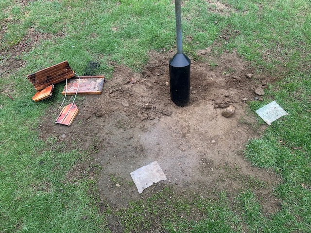
Had a visitor last night

-
I’ve already had 5 on me and 2 latched on. All deer ticks. No rings around the bites yet.
-
+1.8 at CON (before today) thanks to that mid month stretch.
-
Tue has near 80° potential…probably more like mid to upper 70s though.
-
Getting to the point where we can pull BN days and we’ll still say it was a nice day. Like 65/35 with full sun.
-
-
0.11”
-
It's funny that he thought he could keep getting away with it. 61F to 72F to 61F between 9-10pm. lol https://mesonet.agron.iastate.edu/sites/obhistory.php?date=2026-04-15&sortdir=asc&windunits=mph&station=LFPG&network=FR__ASOS&metar=0&madis=0
-
Time to start the countdown to 2056 thread?
-
Glad we in just enough today
-
Every day has been sunny and warm here since this post