dendrite
-
Posts
75,073 -
Joined
Content Type
Profiles
Blogs
Forums
American Weather
Media Demo
Store
Gallery
Everything posted by dendrite
-
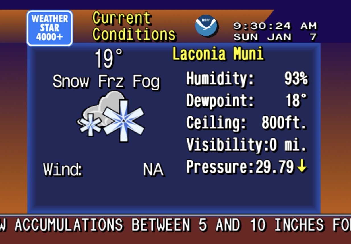
20.9° SN 11.3”
-
Playing hard to get keeps them coming back.
-
Amazons floating down the Amazon
-
Awesome. Should be some epic flooding for you this week.
-
I embedded it for you
-
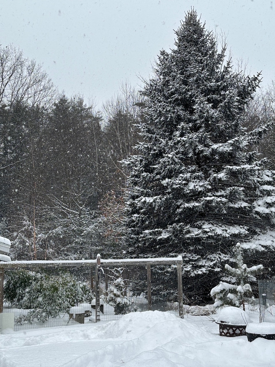
Poundin IMG_5885.mov
-
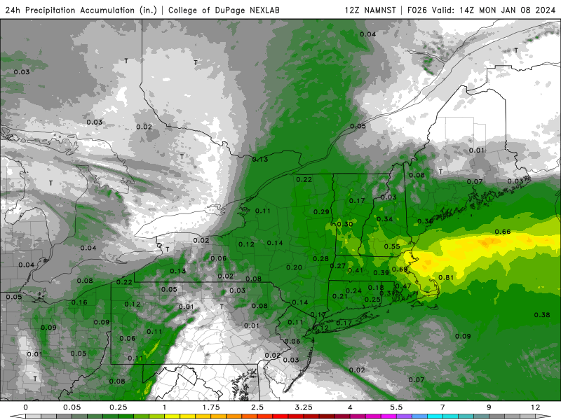
20.7° +SN 4.6” new / 0.29” w.e. in the 6a-12p core. 16:1 ratio over 6hrs Event total is up to 10.1”/0.75”
-
-
I wonder how our new Brattleboro friend is doing. Based on Mitch’s radar last night I’m guessing it hasn’t gone well for her either.
-
9” at 11am. Should be pushing double digits by 1p.
-
Definitely a screw job south of here with CON and my parents in Hooksett only around 3” at 7am.
-
8.5” Growth is not as large as in those bands earlier, but there’s way more flake density in the air so in the end I think the vis is running lower.
-
Can I get a hell yeah?

-
The additional precip from the 3k after 9am. Maybe another 4-6” here.
-
19.7° SN Big growth again. 8.1”
-
Don’t worry. Many of my happy flakes will be at their funerals a week from now.
-
Reinforcements are rapidly coming from ALY just in time. The leader of this band is tired and it’s pixels are growing old.
-
I like Popey, but he’s ruining his experience here by continuously being contrarian and getting antagonistic over being called out.
-
Maybe another hour of mod/hvy factoring in below the beam drift too.
-
Vibin’
-
19° mod snow with great growth. 7.0” so over 1”/hr
-
Okay I underestimated. 5.5” and +SN now. edit…0.46” on that core. So about 12:1 on that 10hr sample.
-
Eyeballing 3-4”. Moderate right now but about to go heavy. 18.8° SN
-
20.0° SN Nearing an inch
-
The bodies were so close to being covered and then *poof*