dendrite
-
Posts
75,086 -
Joined
Content Type
Profiles
Blogs
Forums
American Weather
Media Demo
Store
Gallery
Everything posted by dendrite
-
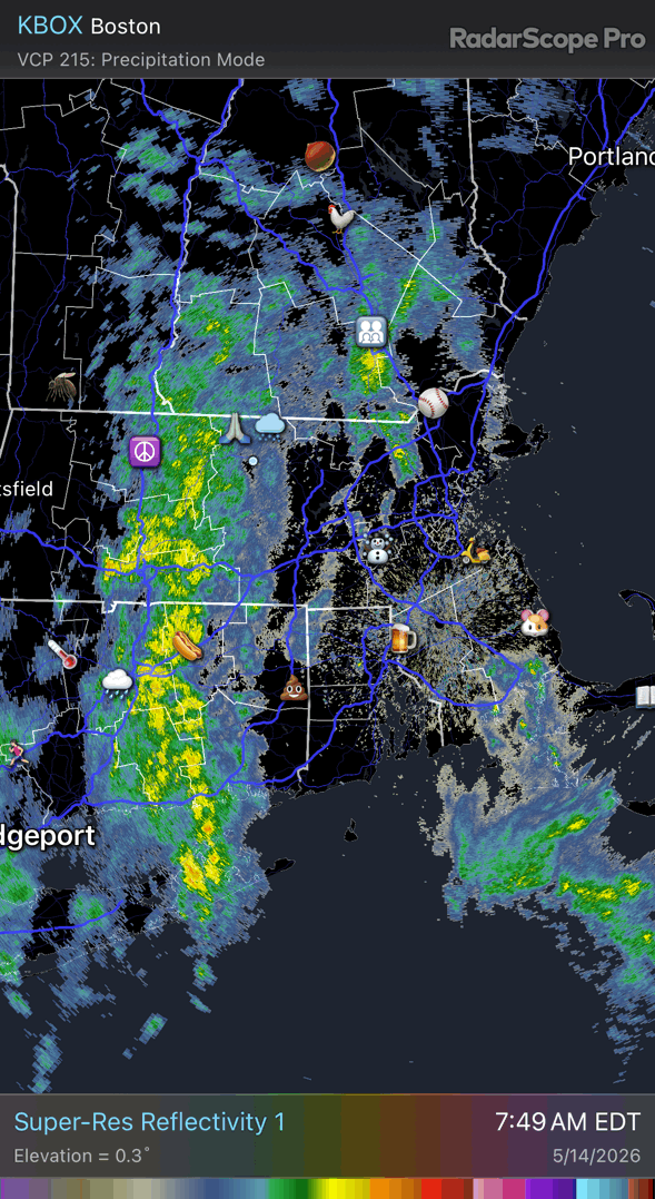
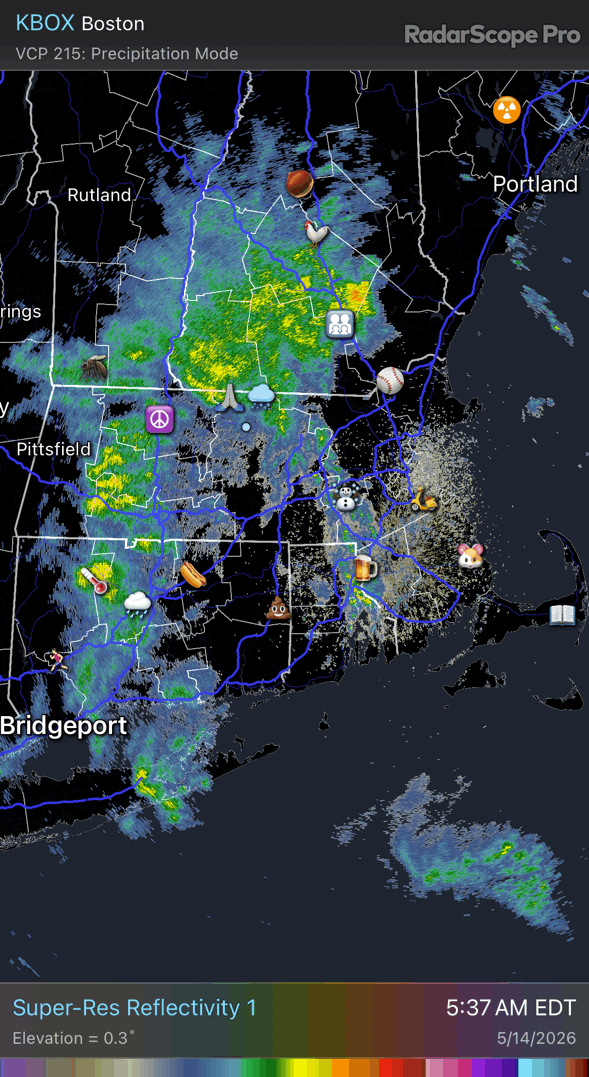
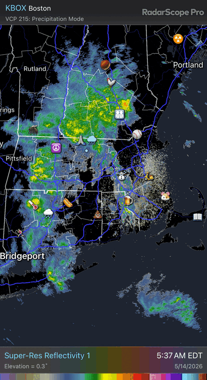
Only caveat may be we’re going to sobbing wet up here with standing puddles. It may be difficult to get good surface warming in rural areas…especially where 2”+ rain falls.
-
You’re in the axis. More rain cometh.
-
50.2° 1.28” in the last 24hrs
-
49.9° +RA 1.01” since midnight
-
I figured there was a good reason. I was kinda kidding anyway…it’s mostly just a synoptic rain. I didn’t even realize they lowered that. Is it permanent or while GYX is down?
-
In the more changes dept…mesowest is doneski at the end of the year (maybe sooner). https://mesowest.utah.edu/notice.html
-
Great day for GYX radar to be down.
-
Really hope this rain train sets up over the coop. I want water pouring out of the hillside and my road to wash out.
-
46.9° Pouring
-
44.5° for a high so far and only 0.09” rain We’re a few days away from the timing of the 5/18/23 freeze that took out a lot of fruit trees and leaves. But the leaves and flowers are way behind where we were the .
-
I haven't validated an account since 2/26 so probably not.
-
Last login 2/24 Allgone
-

-
Need the video with Clapton in it.
-
My new top 12 power rankings June June June July July July May May May August August December
-
John is a long time poster here. "Rufus" seemed pretty bad in some of the winter events this season. We posted it frequently and it seemed to be on its own island (not the correct one either). But we'll see how it goes.
-
We still need all of the rain we can get so no complaints…yet. It’s not like we’re missing out on 80° and sun…just have to keep the shades closed for 72hrs.
-
3 brutal days here…W Th F. Mostly 40s/low 50s and rain. I don’t think we’ll warm sector this evening.
-
Hopefully at least a +3C ONI this winter. I love me some perfect storm track rainy coastals in Jan.
-
And the summer months above the winter months. We old now.
-
Wow Feb above Dec despite the holiday and low sun angle? Winter wise…does anything beat a snowy Dec?
-
Growing consensus for 1-3” S NH/ME into NE MA…euro, gfs, 3k. The soaker I’ve been waiting for?
-
Min 35° Maybe the last of the 30s here? Climo says no, but there’s none in the extended currently. I’m sure we’ll sneak some upper 30s in somewhere even if it’s early June. Euro is pushing 100° in Philly for a couple of days next week.
-
June July May August September April December October March November February January