dendrite
-
Posts
75,088 -
Joined
Content Type
Profiles
Blogs
Forums
American Weather
Media Demo
Store
Gallery
Everything posted by dendrite
-
69.5° BKN Looks like we may come out of this without much more than a drop.
-
Congrats 2nd Lake and Boundary Pond. Maybe we can take out an off the grid shack.
-
0.04” lol
-
Stein is in the zone right now.
-
I may actually wet the ground.
-
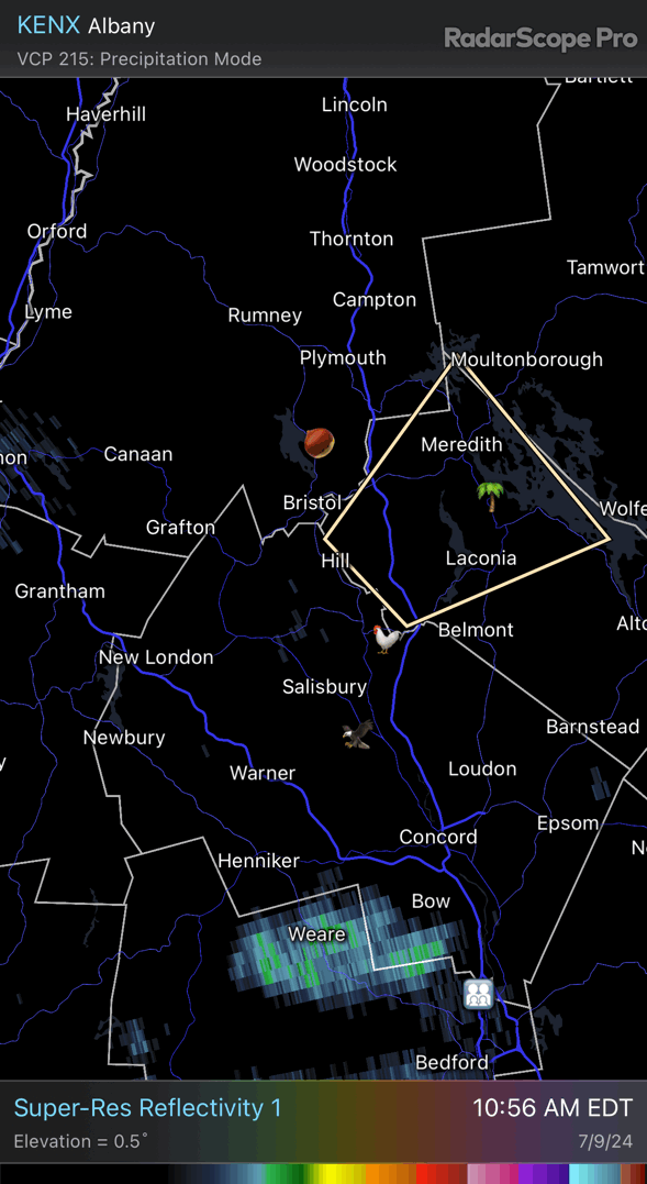
Fingers crossed on the northern one. That southern one is putting out a lot of lightning. Continuous thunder here.
-
He’s just playin’ with me with a laser toy now.
-
-
lol

-
85/77 Freaking awful
-
Bahama mama?
-
63.4° Wagons way north.
-
Is this Ditty driving?

-
I always enjoy those Iowa corn dews that pop 90+ on the AWOS sites.
-
It was my post
-
Dew in da butt?
-
-
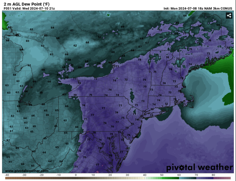
Nammy delivering 78° dews up here. That’ll be 81° on the Davis tyvm.
-
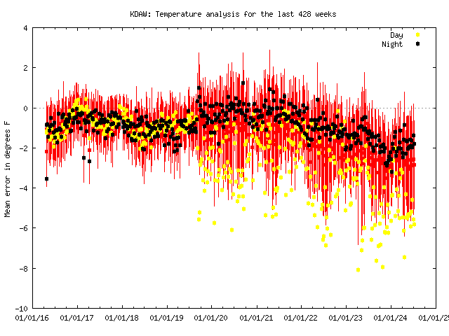
Looks like it got COVID and never recovered
-
There’s something happenin’ here. What it is ain’t exactly clear
-

-
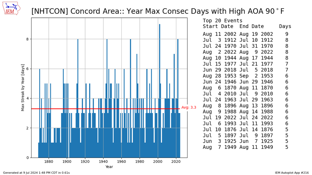
No I’m not talking growing literally. It was a casual reference to about a 5F rise in minima. Obviously it’s deeper than that, but we are not 1970s NJ up here right now. And disagree about the frost season. CON’s growing season has expanded dramatically on both ends.
-
Not sure you’re his type.
-
ISP and BDR have shorter periods of record and lower std devs because of their ocean influence…so not too surprising.
-
I know what he meant and we’re not there yet. We’ve gained maybe a half growing zone in spots. LWM/BED from the 70s may be a better comparison.