-
Posts
66,906 -
Joined
Content Type
Profiles
Blogs
Forums
American Weather
Media Demo
Store
Gallery
Everything posted by dendrite
-
-
• Proven to not harm, bees, pollinators or other beneficial insects (such as parasitic wasps and beneficial nematodes that also kill grubs). I see no mention of earthworms? I would only want to kill the non-native insects.
-
Goofus hitting the 90F sauce the weekend after this.
-
Yeah I was sweating. lol I left the house with no jacket today. I'm still trying to cool my core down.
-
Had the pellet stove on in the living room last night. A toasty 80F in there and 75F in the bedrooms when I woke up...even with a low setting. Sometimes you have to make your own torch.
-
Found this… https://ecoipm.org/2017/03/23/dont-fret-over-a-few-dead-bees/
-
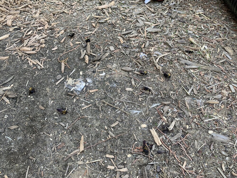
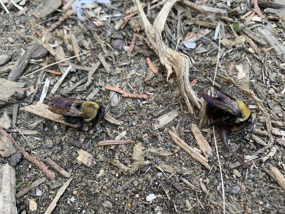
I assume these are all males that mated and died? But all in the same spot?
-
Anyone know anything about carpenter bee behavior? There was one flying around my nesting boxes this afternoon that I was trying to keep out. They normally burrow up near the roof of the coop every year. Anyway, I went outside this evening to clean the boxes and noticed 9 dead carpenter bees on the ground below that spot that weren’t there earlier. Is it likely that the other bee pulled them out of the top of the coop and that they were already dead while overwintering? I’ve never seen that before.
-
Lots of trees starting to open. Pawpaws are slow, but they’re always last. Got 2 bare root apple trees planted today. Got roasted while doing it too.
-
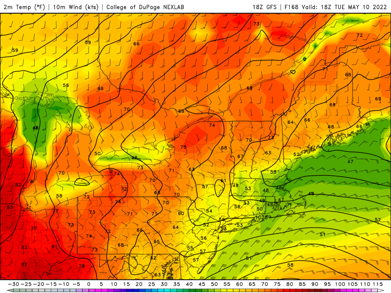
69°…4° warmer than 980’ Tolland!
-
Already 51° off of 32.9°.
-
-
-
-
A couple degrees below your 59.7° It was a great day though. Of course we haven’t had much in the way of heat so it feels better than it should.
-
Up to 56.8F here and thankfully clouds saved us from hitting freezing. It was 34F at 4am, but then slowly crept back up. Winner of an afternoon though. We take.
-
Nice. You got out of Tolland today to enjoy 60s.
-
It happens this time of year. I remember many times having the RH dip into the single numbers.
-
Furnace croaked a few months ago…right after I filled the tank. I’m looking to replace it this summer, but with the oil prices I’m in no hurry.
-
I’ve got my own little food forest going in the corner of the yard by the chooks and the mini pawpaw orchard. I’ve been wanting to cover that area of grass up with a nice layer of wood chips like in the run, but I haven’t gone there yet. We have a lot of clover there so I just let it keep fixing nitrogen to the N happy pawpaws. I have a honeycrisp planted and a couple more bare root apple trees on the way. I’m also experimenting with grafting a bunch of different varieties of apples onto antonovka rootstock. My grapes trellising over the fence of the run will be going on year 2 and I have 4 honeyberry bushes to plant. That doesn’t include the crabapple, peach, and 2 pear trees we already had when we moved there. I’m not at James Prigioni’s level, but I do like the concept of getting functional use out of your property for you and the wildlife versus a synthetic, pesticide/herbicide laden lawn that isn’t natural and isn’t self sustaining. Suburban Americans in the 50s and 60s decided it was important to have a lush, grass-only lawn. I try to encourage people I know away from that. I don’t mean to poo all over frankenstein lawns in the lawn thread, but it’s just my thoughts on the subject.
-
Congrats. Not here. Getting taint backing in from Maine.
-
Today may be worse than yesterday cold wise.
-
I purposely grew my lawn long one time and my neighbor came into my yard and mowed it. lol He likes to scalp his yard, but they’re worried about Lyme over there. I know his wife and one of the kids have it.
-
Yeah but you do that in July
-
I guess, but sensible weather matters. All I said was that it was more wintry 35 years ago. 10-20" with afternoon temps of 32-34F with +SN is a little more wintry than well into the 40s with abundant sun.

