dendrite
-
Posts
75,007 -
Joined
Content Type
Profiles
Blogs
Forums
American Weather
Media Demo
Store
Gallery
Everything posted by dendrite
-
My maples are just coming into peak now and are really popping this week. I haven’t been up in the immediate Lakes Region this month though.
-
Or not. Didn’t get much lower due to clouds and wind. Tonight should end it though.
-
I feel like this has been one of our better foliage years. Lots of colors popping together and great saturation on the reds and oranges.
-
37.2° Freeze incoming
-
50.7° Bust!
-
https://spaceweather.com/archive.php?view=1&day=29&month=10&year=2003
-
It’s good practice for all of the 48s to come in DJF
-
Yeah prob not hitting 50F here today
-
Probably 24° in Maple Hollow
-
Feb sun angle. We really need the 850s 15C+ to pull off 80s now. 11-12C with cool mornings won’t cut it.
-
35.9° min but 39° at sunrise with wind. Lava lite here.
-
Greenhouse gases
-
It just goes to show you how much fewer GHGs were in the air back then. High of 59° at PWM? No problem. We’ll drop it down to 20° and then just climb back up to 65° the next day. The atmosphere was like Mars compared to now.
-
Just had some sun here. Up to 47° after 1.10” of rain.
-
CON was +11.2F on the highs and only +0.4F on the mins. I can’t even fathom that happening anymore. 9 days of 80+ in there with an 89 and 4 days of 85+. Avg high was 72.1 and avg low 38.2.
-
Frankenstein?

-
1.02” and counting Drenched
-
He visited Mitch to see snow last winter and hasn’t returned.
-
Turning out to be a nice day.

-
40.7° -RA Low was 37.0° before the clouds streamed in.
-
Man it may not hit 50° here again until Thu or Fri. Right into heating season.
-
If it’s going to fail I hope it’s via Stein and not 6” of rain per winter month.
-
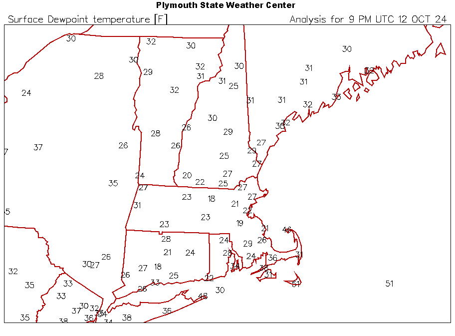
Stein going wild with low dews in the droughty areas of SNE.
-
59/29 May be a race between high clouds and a freeze tonight. I also wonder if NNE can slip in some brief sleet at the onset tomorrow morning thanks to some midlevel dry air.