dendrite
-
Posts
75,081 -
Joined
Content Type
Profiles
Blogs
Forums
American Weather
Media Demo
Store
Gallery
Everything posted by dendrite
-
GFS looks drunk for up here compared to other modeling. I shouldn’t have looked at that first. lol
-
Breezy and down to 9°…can’t wait to ditch these sub 20° temps.
-

New England Winter 2024-25 Bantering, Whining, and Sobbing Thread
dendrite replied to klw's topic in New England
KDCA 300245Z 29007KT 10SM CLR 09/M07 A2993 RMK AO2 ACFT MSHP T00891067 -
Wedged up here today. Scoot’s favorite exit 18 rest area cutoff.
-
High of 32.0°. No melting here.
-
Never forget.
-
More tenths. Not boring.
-
Descending terrain doesn’t help
-
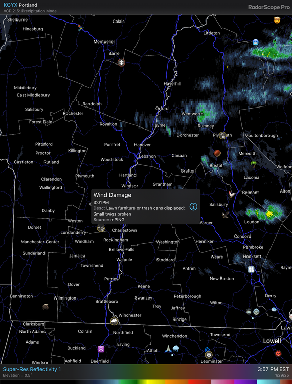
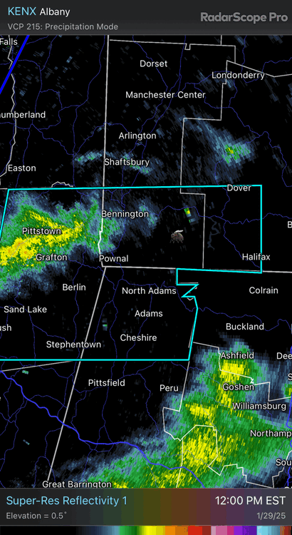
NW MA lit up
-
We’re approaching August in the summer equivalent of winter. It’s still hot and it’s still humid, but subconsciously you’re feeling that change in the sun. You can sense those shadows hitting differently. The sun still burns your ass, but you can tell it’s losing that bite. Deep summer is fleeting.
-
What the hell, January 28-29 2025 FLURRIES
dendrite replied to Baroclinic Zone's topic in New England
-
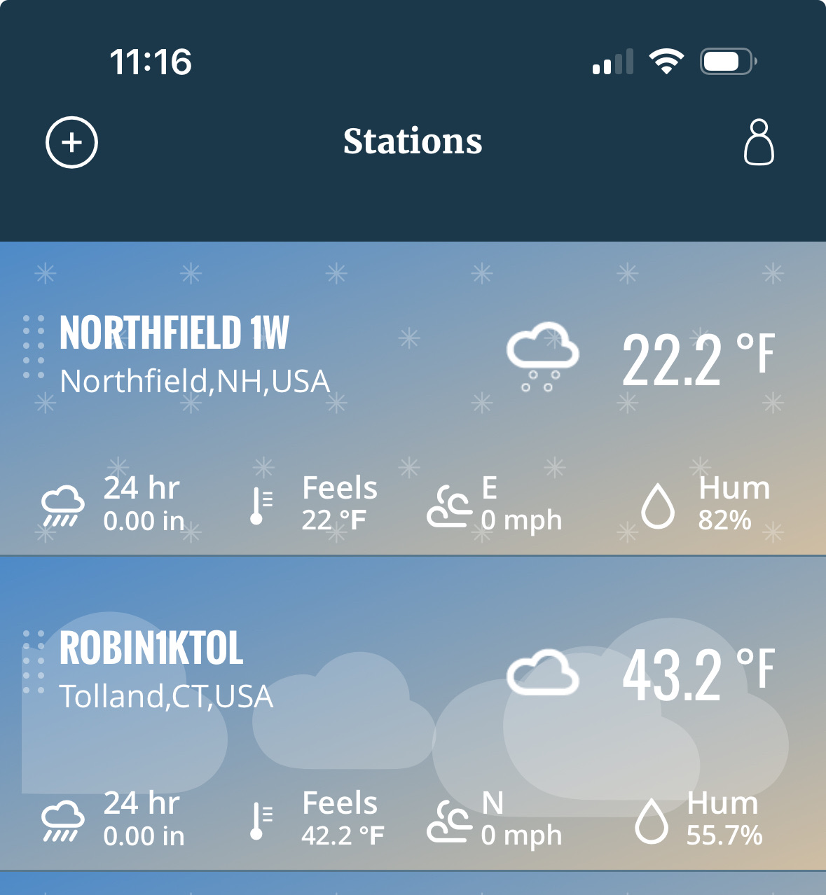
We have Davis stations. This is their app.
-
+1 for ditty already
-
-
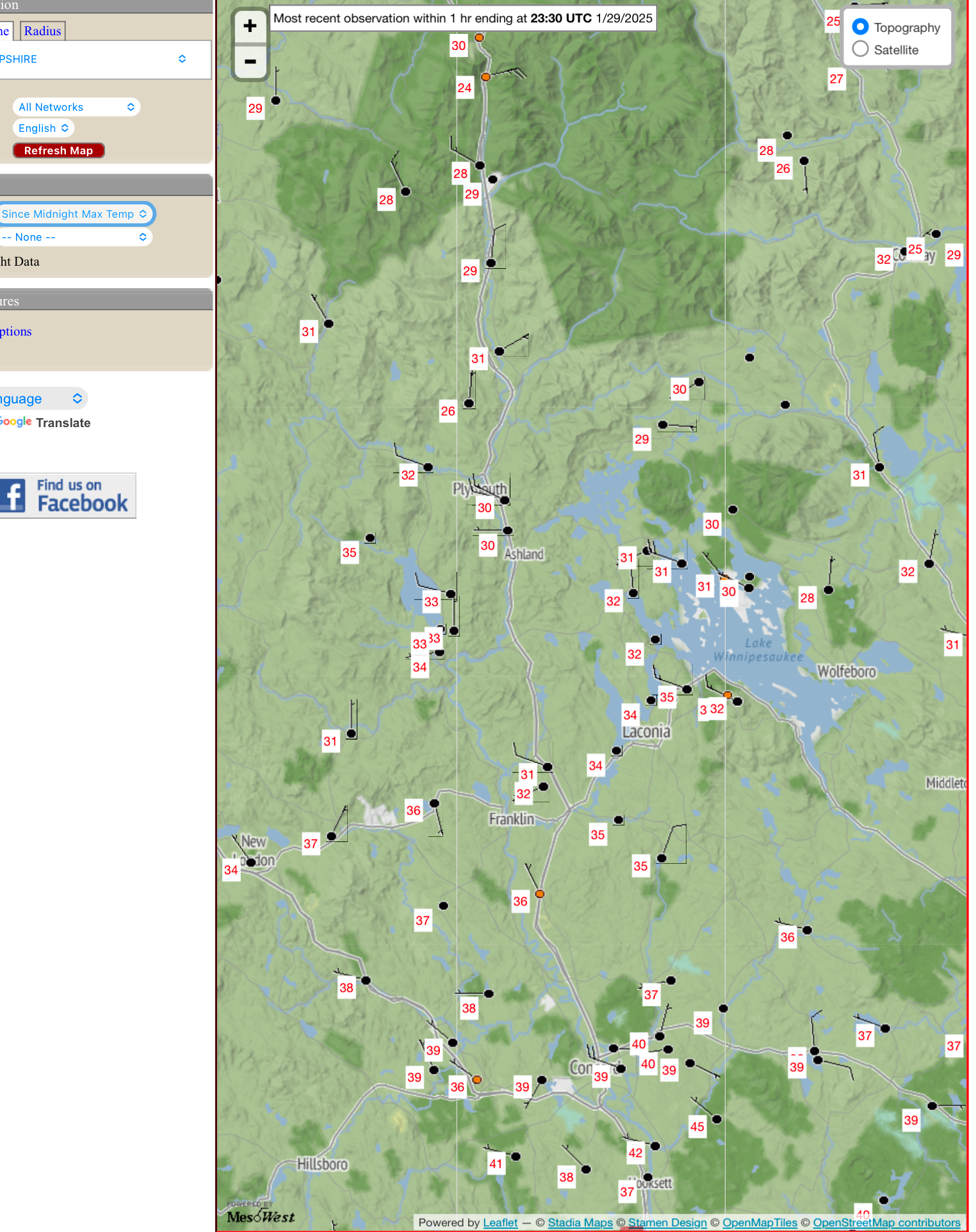
QPF max axis basically followed the northern MA border with the local max near the CT River. 20-25:1 in there.
-
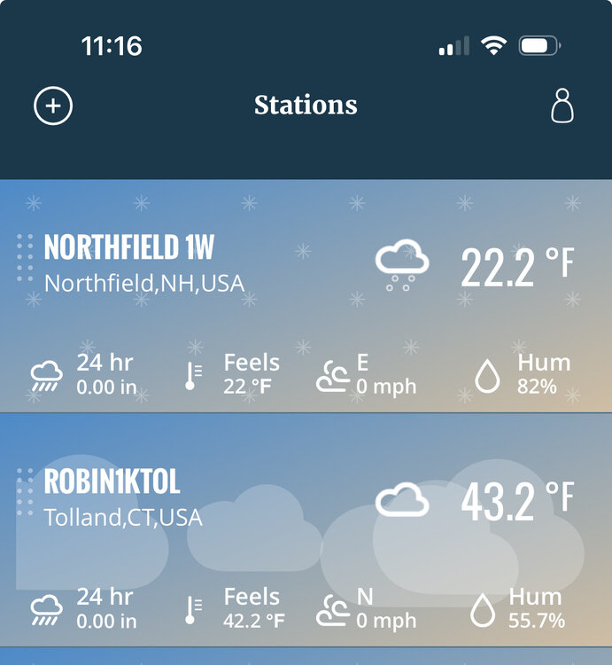
1.8” overnight. Still some -SN with decent growth. Had 0.2” in the squall yesterday so an even 2.0” in the last 24hrs. 17.6° -SN
-
Let’s see how fast we can get rid of it all today
-
Man everyone ignored putting obs in Bob’s thread
-
It may be. It may not be. We just don’t know for sure yet.
-
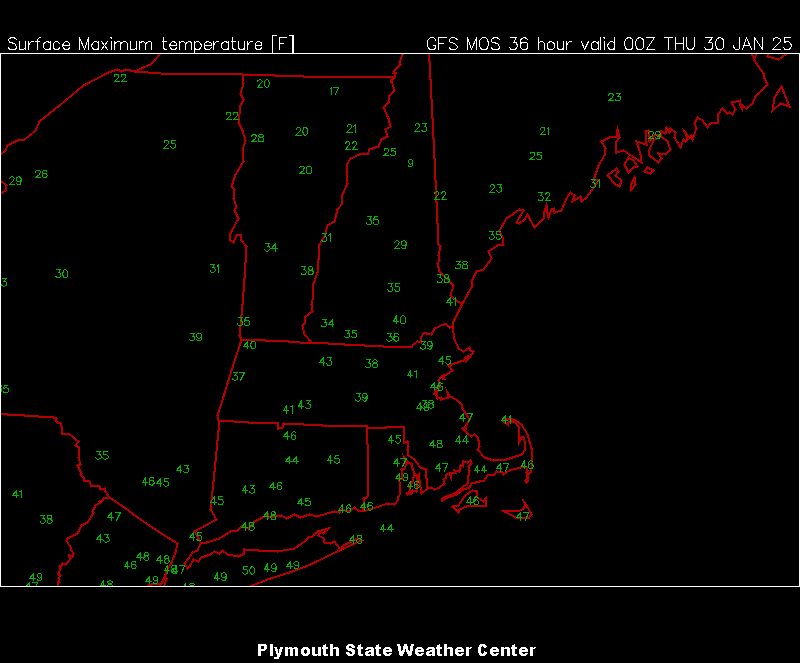
Will someone do 48° tomorrow?
-
What the hell, January 28-29 2025 FLURRIES
dendrite replied to Baroclinic Zone's topic in New England
Temp dropping. Wind roaring.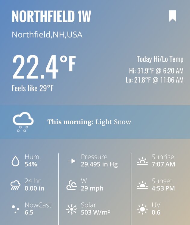
-
What the hell, January 28-29 2025 FLURRIES
dendrite replied to Baroclinic Zone's topic in New England
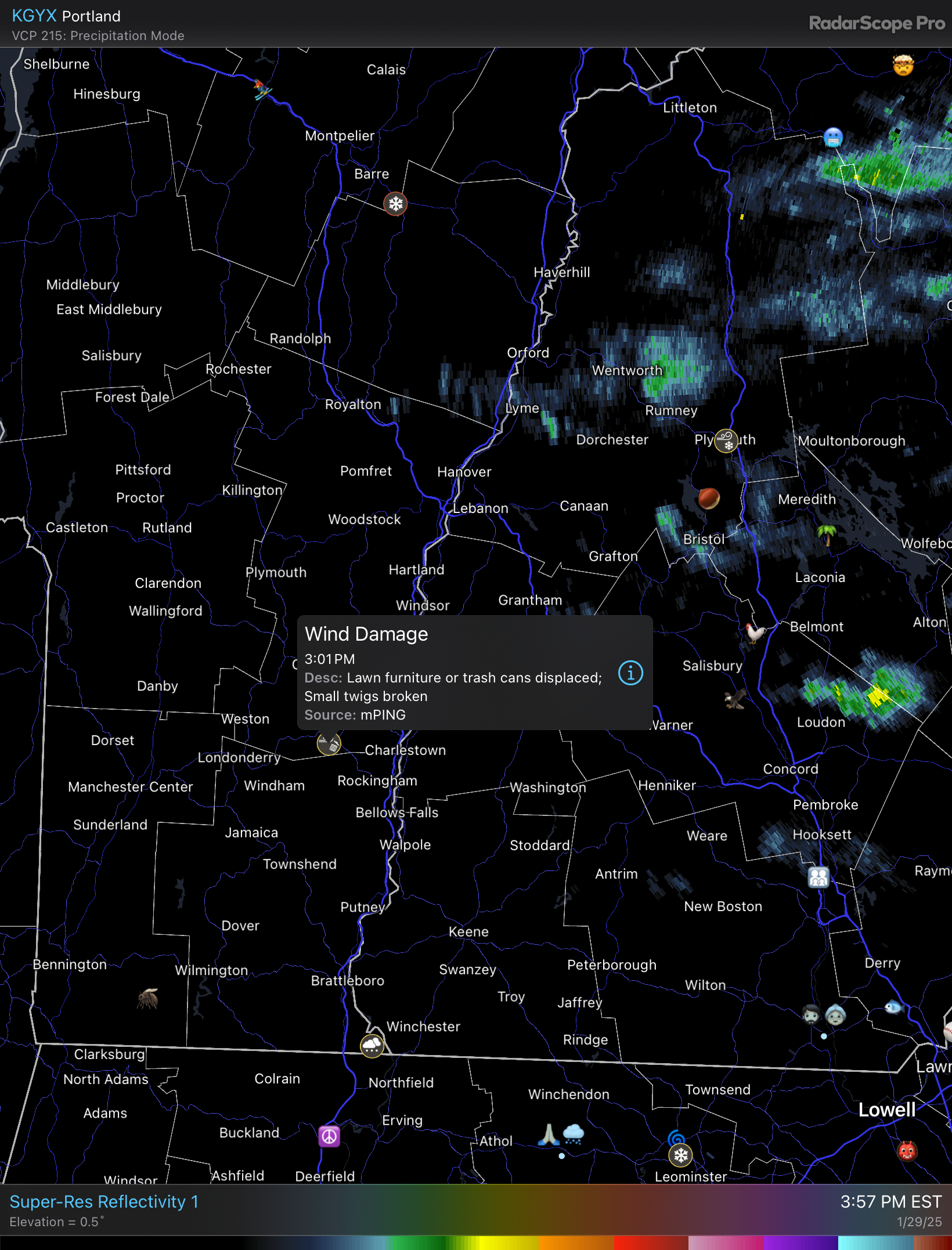
Bob wasting his thread juju on this pos. -
Usually they don’t even meet squall wind criteria…it’s just mod/hvy snow showers with some breezy conditions.
-
Defo looks better along the Pike than modeling showed. Maybe someone gets a quick 1/2”.