dendrite
-
Posts
66,872 -
Joined
Content Type
Profiles
Blogs
Forums
American Weather
Media Demo
Store
Gallery
Everything posted by dendrite
-
Nah. Some of the ill-natured trolling I’m going to start cracking down on.
-
At least we can maybe get some dews. It’s been awhile since they touched 50°…like a week or 2?
-
Idk…looks snowier here than there. lol
-
Nice rainer on the EPS mean
-
1.4” around 1 when I got home. Saw very little OTG right up to exit 19. Had to get some elevation to see anything beyond a 1/2” on the ground or snow sticking in the trees.
-
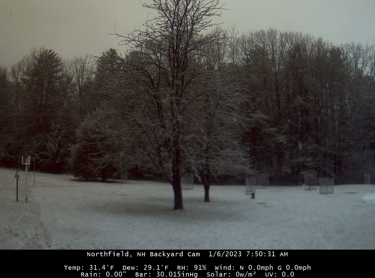
32.3 and snowing still at home. Looks like 1-2”. But I can tell on cam there’s some melting in the trees.
-
Radar looks pretty good W MA into SW NH
-
We white again

-
31.6° flurries
-
I’ve noticed the past couple of days the H85-92 cold advection in N ME getting less “push” and figured it may translate toward the tuck our way. We really rely on that ageostrophic wetbulbing in these setup to succeed. Instead it’s mostly been stale sfc air all day with everyone in the lower els 32-34.
-
32.2° Hasn’t hit 32.0° all day.
-
Euro has consistently had the best solutions for up here. Ukie is a little bit more south with the best goods.
-
In Waterbury VT that is called a flake
-
Down to 32.5° now
-
Nice run for S/C NH
-
GFS looks a bit like the 18z euro for Friday...nice little snower for S/C NH
-
I would've predicted Go West first, but this is a worthy selection.
-
I liked it better when the GFS would always have unphased trash way OTS.
-
NAM a hair overdone with the cold, Euro overdone with the warmth. RGEM this morning looks pretty good with the colder air deep into the CTRV, torch along S coast, and low 50s around Kevin.
-
The problem is the front lagging a la 1888. Plenty of easterly inflow aloft back to WNE. It's a weird, rare solution so we smile at it and wait for 18z.
-
Metfan snowin, CT sleetin, and the chickens rainin.
-
That's a good comparison lol. I always remember looking at the KU book for that storm and wondering how that would look in modeling today.