dendrite
-
Posts
75,058 -
Joined
Content Type
Profiles
Blogs
Forums
American Weather
Media Demo
Store
Gallery
Everything posted by dendrite
-
Torch day
-
Tequila sunrise?
-
Most of that looks like ground clutter from nightly inversions?
-
I've made those my Christmas trees the past few years. Love them.
-
I honestly thought the leaves on my pawpaws looked more green yesterday too.
-
I defer to the real tree expert here.
-
Euro too. Some are confused.
-
Good thing we got a little rain because he’s back
-
It's kinda hard to tell without seeing the species up close. There's a lot of pine and hemlock in there which account for a lot of the green. The older oaks here have some spotty change, but are still mostly green. He's obviously at elevation so I'd probably call that high color. Their current map has patches of high mixed with the mod.
-
I have some maples near peak already. The Kanc/Lincoln will be funny Columbus day weekend with stick season well underway
-
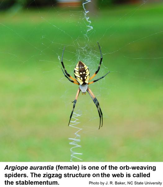
Another year of more spider posts than severe.
-
Stop killing spiders weenie. Hope it wasn’t one of these argiopes. These are great spiders.
-
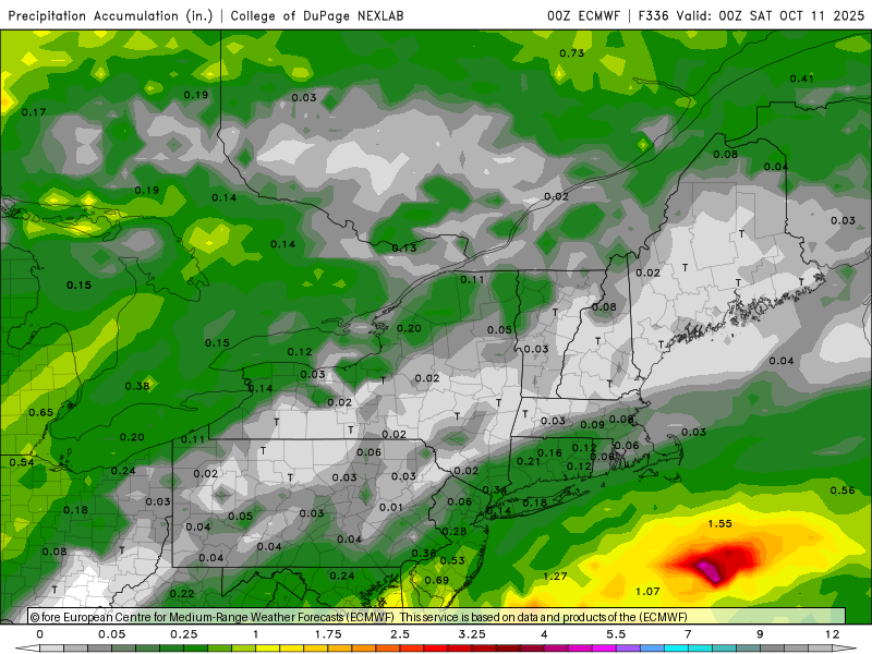
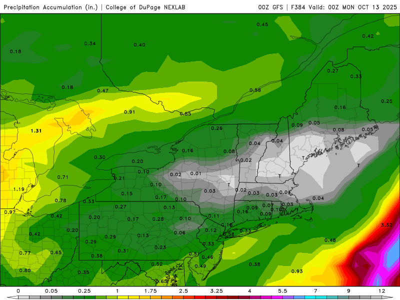
1.91” in the stratus.
-
1.65” in the tipper. I was running close to Gene until afternoon so I’ll have to check the Stratus for confirmation…tipper could be plugged again.
-
1.51” so far
-
First time I’ve seen that. lol
-
Into the midlevel warm sector. Let’s pour in a couple hours.

-

-
Almost at 1.00” with this incoming.

-
59.0° +RA
-
You love to see it

-
It’s nice to see GYX radar down for my first rainy day in 2 months Around 0.50” so far edit…back up
-
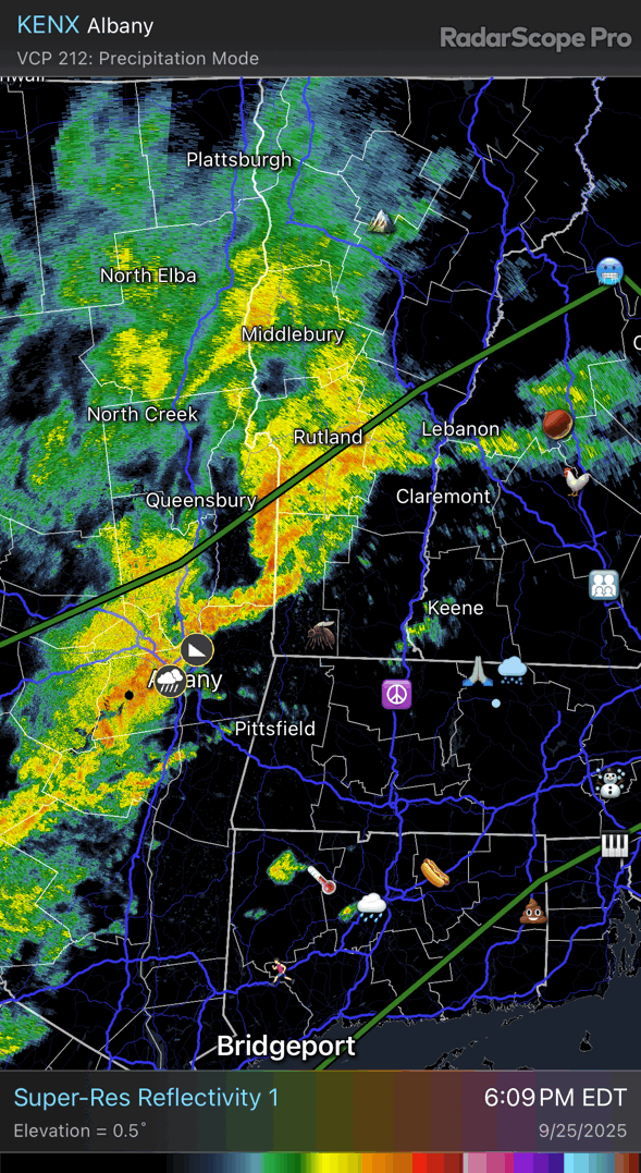
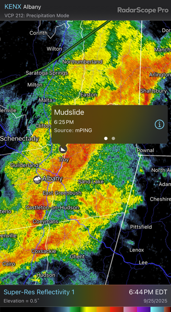
It’s down in PA and developing
-

-
Scoot sending Ditty through the glass of reality.