dendrite
-
Posts
66,821 -
Joined
Content Type
Profiles
Blogs
Forums
American Weather
Media Demo
Store
Gallery
Everything posted by dendrite
-
It’s like a ts warning. It’s not getting issued until it’s about an hour away. Just got the warning here on the phone.
-
Warnings pretty much from the Canadian border to PHL now
-
ENX cuts it off further south. There’s squall warnings down to NJ.
-
Yeah that’s a nice look at this stage.
-
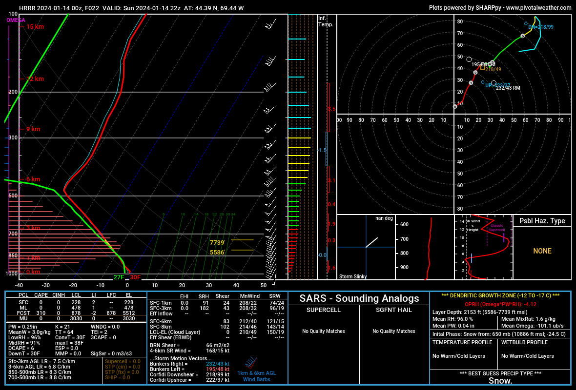
There’s a cold front there along that trough. Goofus has the highest lapse rates up in C/NNE. But yeah that DPVA may tell you where you see stronger sfc pressure falls and more sfc backing or even a hint of a mesolow.
-
Yeah I think Rogers Pass has the record at -70° IIRC? At the least it’s probably worth pulling the sensor and testing it in the chamber. I remember the Allagash ME site breaking the Maine record years ago, but it was found to be too cold. Eventually the Big Black River HADS site broke it with -50°. A lot of these river HADS sites are going to eventually overtake their state record mins since many are sited in pits. There’s quite a few up here that run the coldest in their counties on rad cooling nights.
-
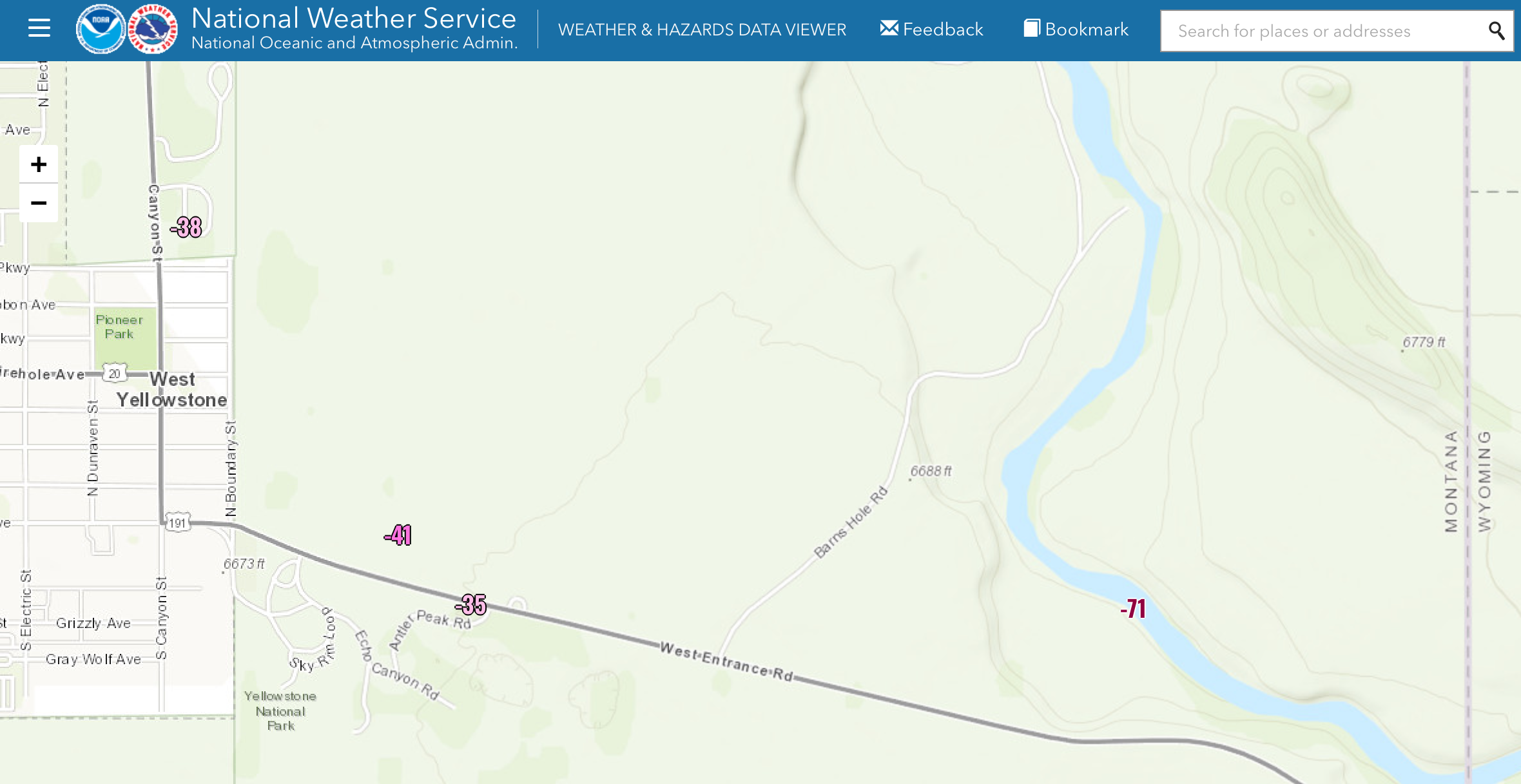
There’s a madison river valley HADS site in West Yellowstone that reported -71° yesterday morning (MDSM8). Maybe it’s wrong, but it’s an interesting little bowl there. Maybe it radiates like the moon like Peter Sinks?

-
That’s new in the last few years. We’ve had them issued here.
-
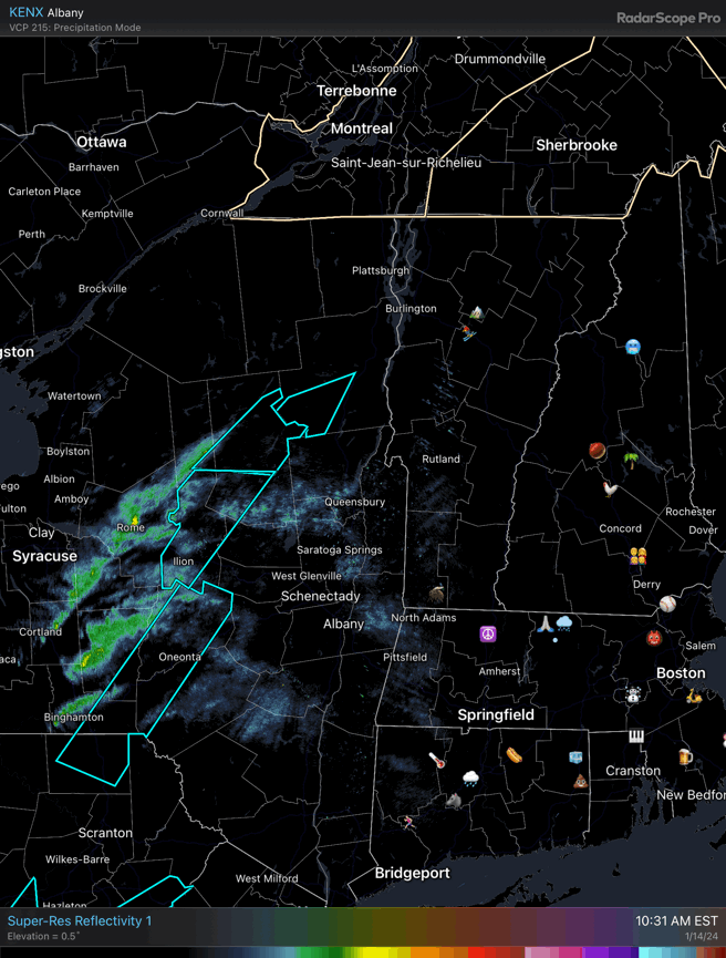
HRRR loses the mesolow, but that’s a potent looking line. These are some of the highest TTs I’ve seen...lots of low 60s and even a weenie 64 here.
-
Sorry man. Wasn’t trying to cut into your convo.
-
 Shit. Now I have to plan to clear snow this week.
 -
It’s that old extended range faux inverted trough look. The system is “feeling” the trailing H5 vort to the west cuasing some pressure falls ahead of it and that “kinked” look to the isobars. A lot of times we see that trend toward a closed sfc cyclone closer to the coast.
-
If you wanna risk the ads and adware you can use thestreameast . to before game time. I use ios and don’t really worry about the ads. I wouldn’t dare use it on my pc. Just be prepared for some possible boobies.
-
1/13/24 Sultan Slicer #2 - Heavy rain, snow, wind?
dendrite replied to Torch Tiger's topic in New England
Nice Gene. Down to 6” here. 35° and raining again now. The big pack dropoff is in Canterbury. South of exit 18 there’s just coatings-1” and then south of 17 it’s mostly bare ground. I was down in CON this afternoon and the car thermo went from 38° here to 45° down there. At least the pawpaws are blanketed, but the driveway is still a sheet of ice.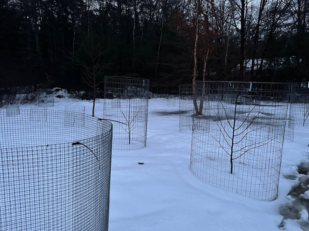
-
I’m not sure it warrants an F- winter grade in early Jan either.
-
I think a foot of snow would be an equalizer for the Steelers too.
-
HRRR is kinda wild for VT/NH/ME. Throws me a streamer overnight tonight as well and then the goes wild with the mesolow.
-
1/13/24 Sultan Slicer #2 - Heavy rain, snow, wind?
dendrite replied to Torch Tiger's topic in New England
We’re getting some peeks of sun now, but it’s too little too late. High of 38° so far. -
Hopefully it pans out. I have Friday off so I can just sit with my bread and milk and enjoy it.
-
The cordillera cryosphere is burgeoning.
-
1/13/24 Sultan Slicer #2 - Heavy rain, snow, wind?
dendrite replied to Torch Tiger's topic in New England
IOSN3 is 55G65 mph now out of the SE. So that water is piling up at high tide. -
1/13/24 Sultan Slicer #2 - Heavy rain, snow, wind?
dendrite replied to Torch Tiger's topic in New England
They’re getting a lot of sea foam over the wall in Hampton, but I haven’t seen any water making it over yet.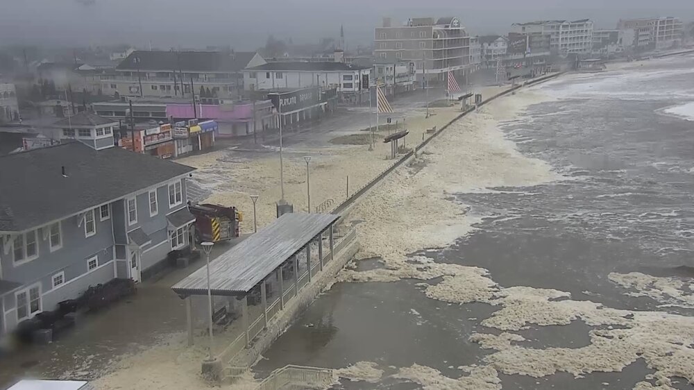
-
I wanna say it was 03-04 where we had some impactful ones around the morning commute in SNE.