dendrite
-
Posts
75,073 -
Joined
Content Type
Profiles
Blogs
Forums
American Weather
Media Demo
Store
Gallery
Everything posted by dendrite
-
 Doubt NY but if 1 state wanted to buck the rest of the region it would be NH
 -
Is changing clocks really that bad? What are we doing?
-
Blows. Hopefully we can get NH on Atlantic time then.
-
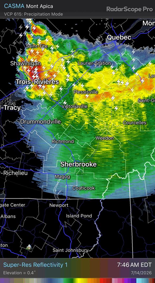
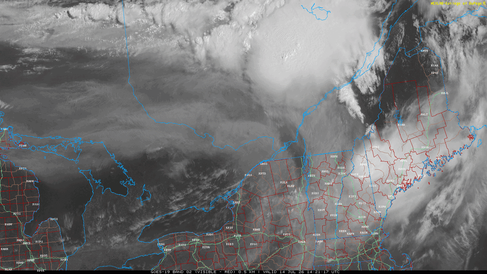
Trying again to “clear”. It’s probably just going to help it radiate and cool now. New England finding new ways to foil big heat.
-
Yeah…there’s been some studies on it. https://www.researchgate.net/publication/277376102_Enhanced_Positive_Cloud-to-Ground_Lightning_in_Thunderstorms_Ingesting_Smoke_from_Fires
-
Terrible. Glad he’s still here with us.
-
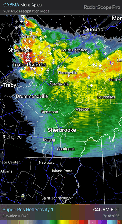
Wonder if the smoke will increase CG frequency and intensity. Let’s get a yore light show.
-
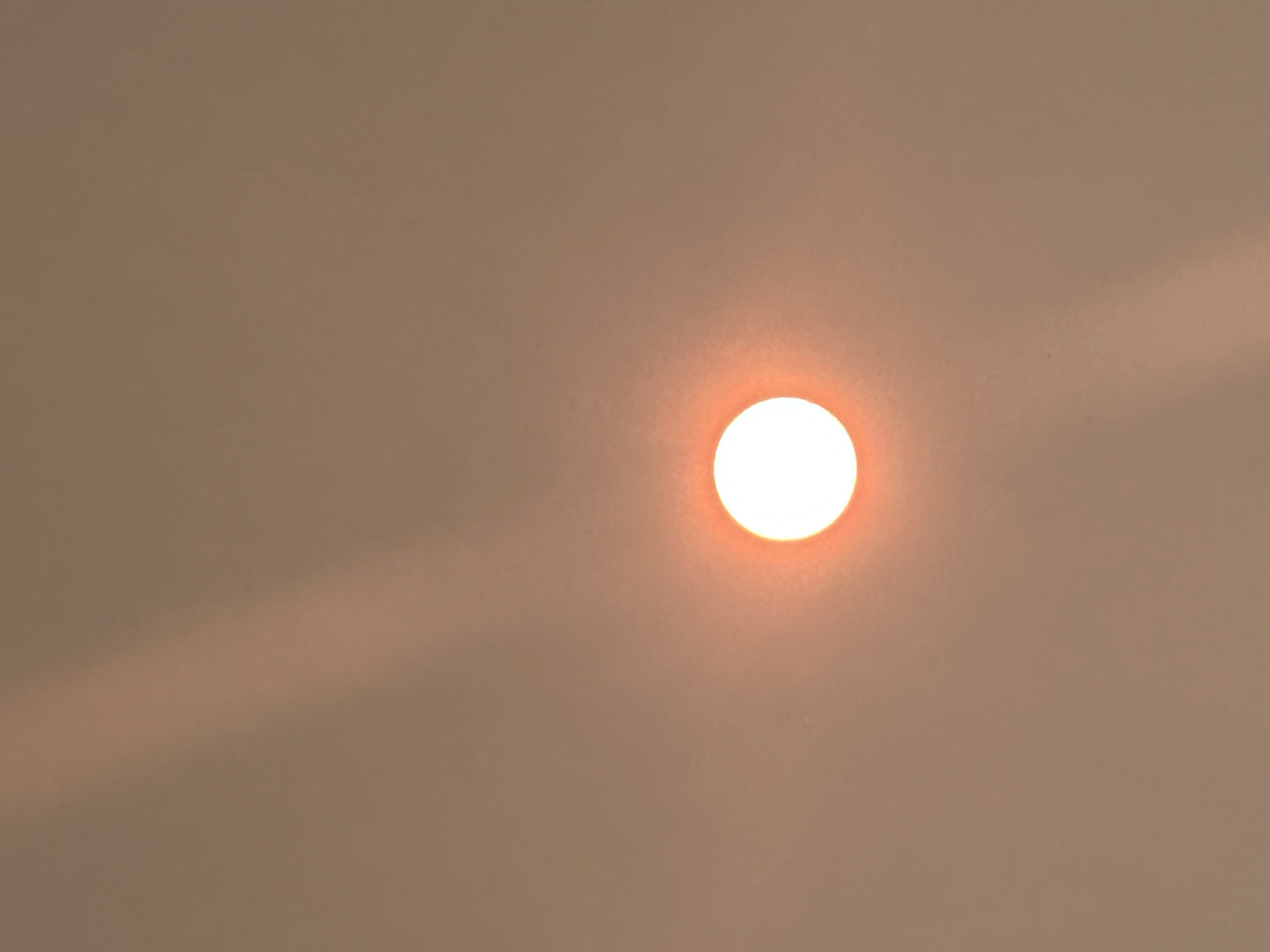
What a beaut


-
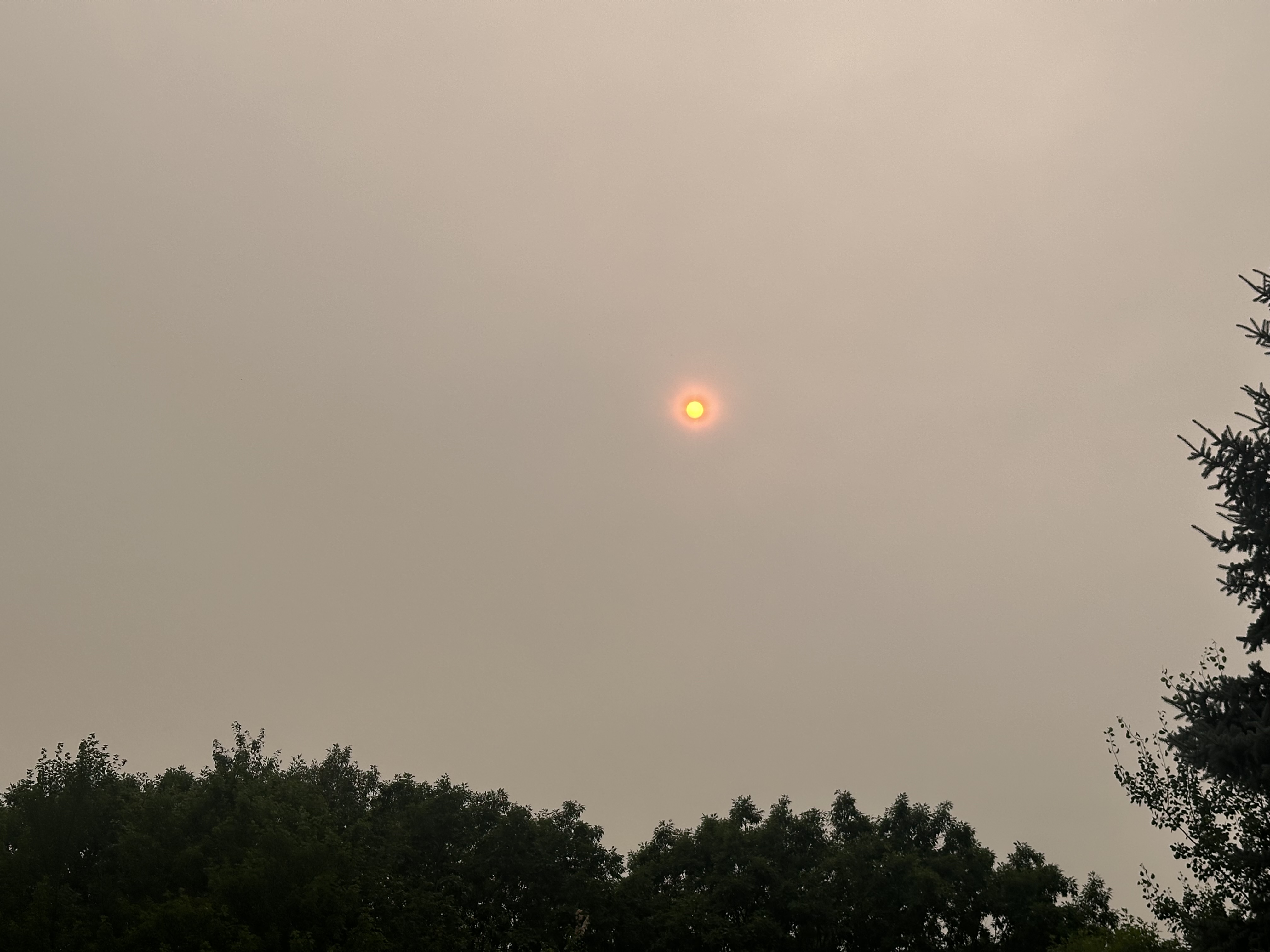
Looks like Mexico City out there. 79.7° after a high of 82.9°.
-
Whenever I come back inside I have a strange craving for chips.
-
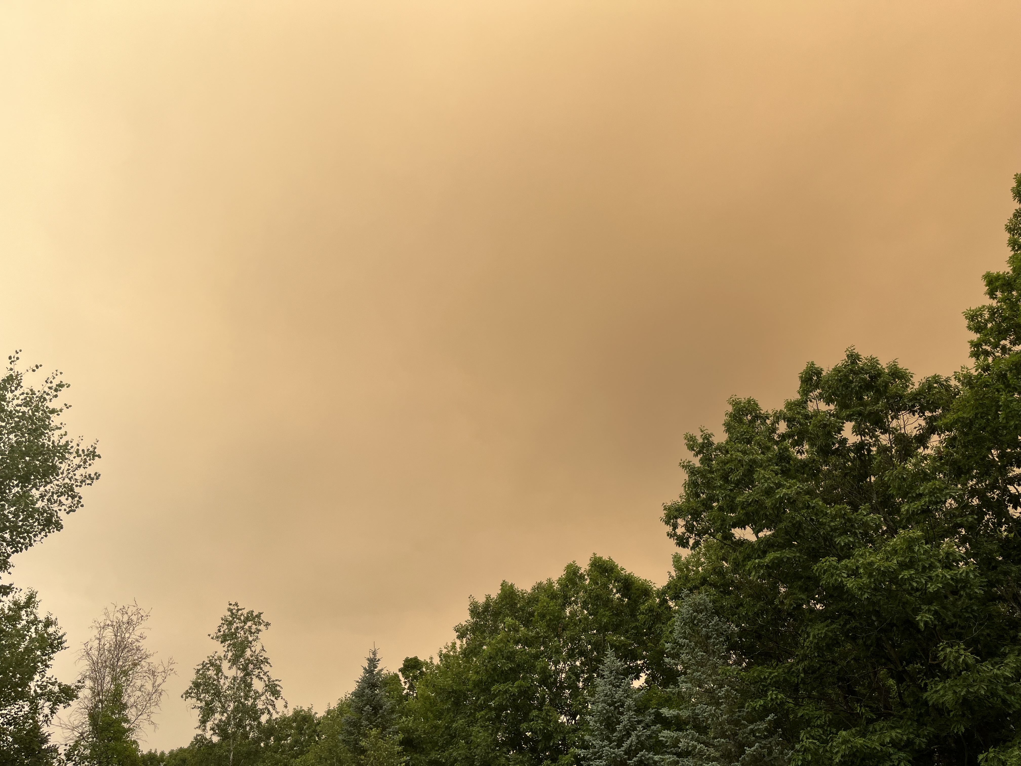
Yup…had brief milky blue mixing in and warmed up to 82°. Now dark and yellow again and dropping.
-
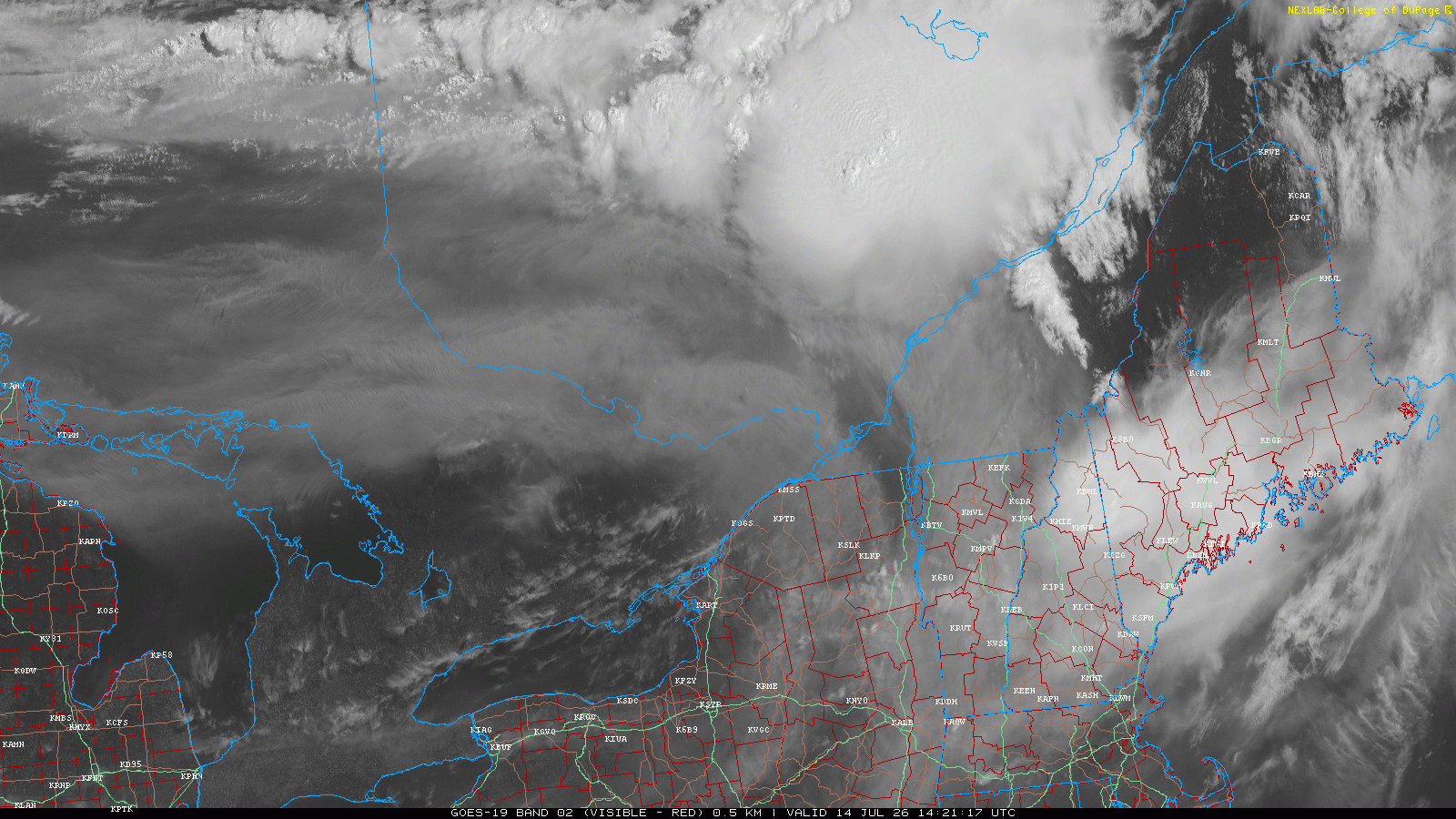
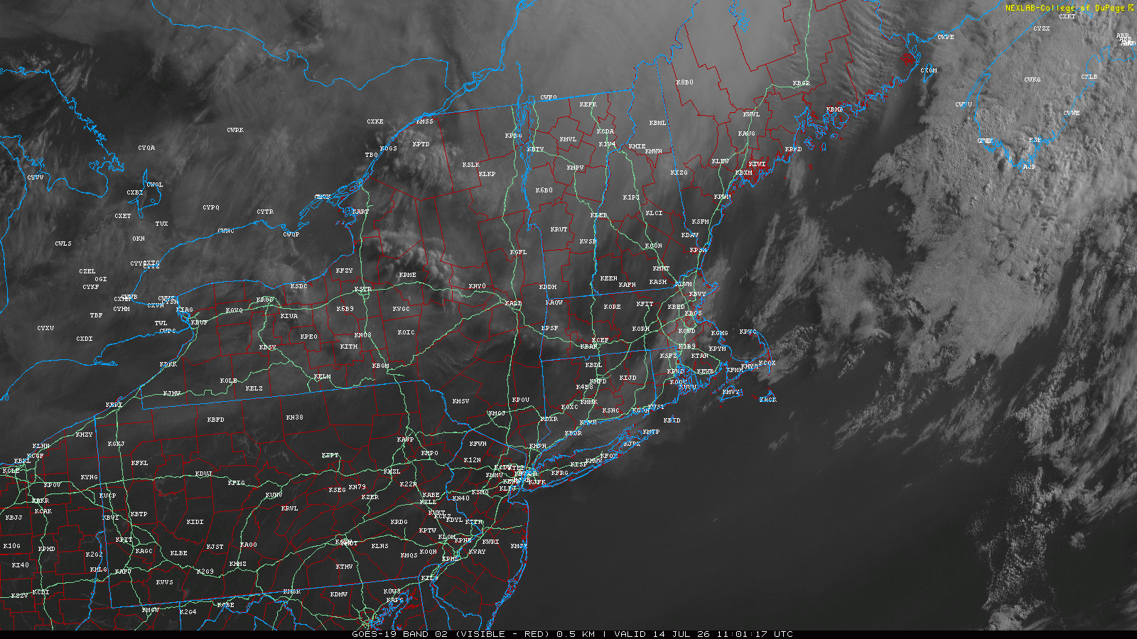
Clear sky is trying to punch into VT from the west, but it’s a race from the north to see if it gets pinched off. 75.8°
-
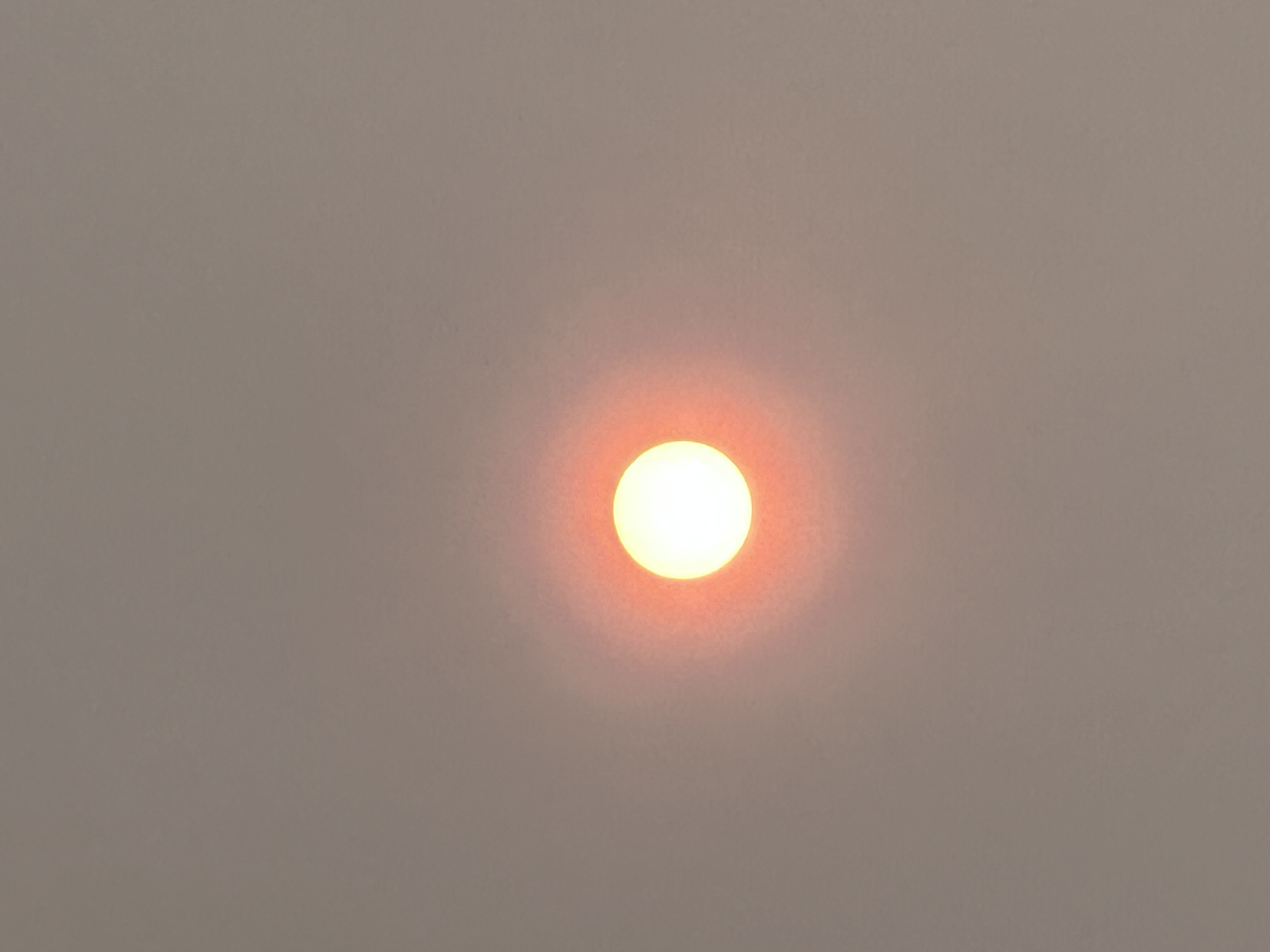
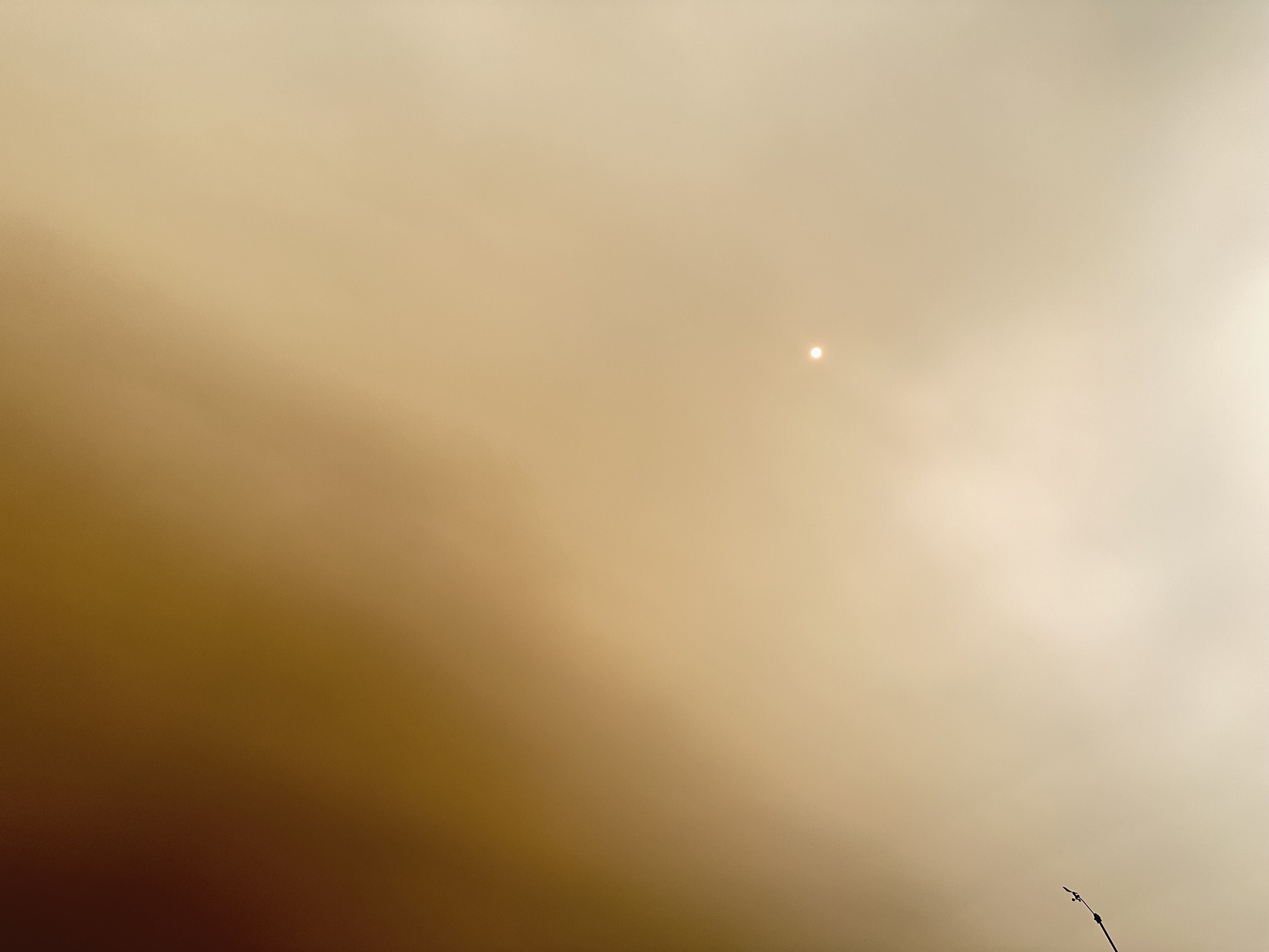
Wow I have never seen it so yellow before. This must be what the “yellow day” was like. 74.9°
-
I’ve been keeping track. 47 ticks on me and 11 that were lodged in. Mostly deer ticks and the embedded ones were mostly nymphs. Haven’t had a ring rash…just the regular redness with local irritation and itchiness for a few weeks. But the last few weeks have been rough energy wise and now my eyes and head.
-
Thanks…yeah. Just hate going to the dr unless I have a limb hanging off.

-
Is Ekster at the office or still riding one of those cages at the clubs in YSC
-
Congrats moose
-
Yeah not feeling too optimistic about much sun today, but it’s early.

-
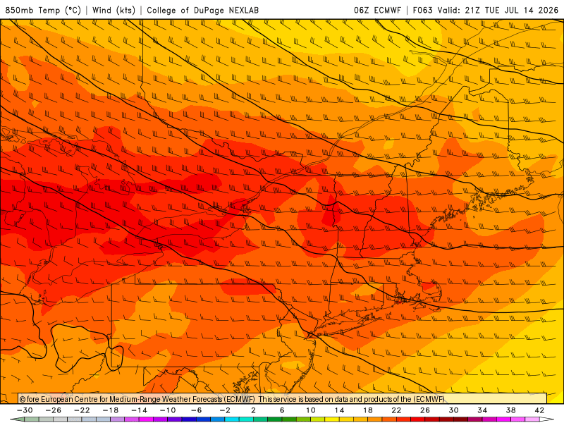
Tough way to run a torch day. Maine stealing the rain. Looks like a nice storm diving into the CT Lakes in a bit. Been limiting screen time…just hit or miss posts. Lots of eye inflammation and migraines. Should probably get a lyme test but that would require going to a dr. 71°
-
102° in Thunder Bay today. Love it.
-
All time all time there today
-
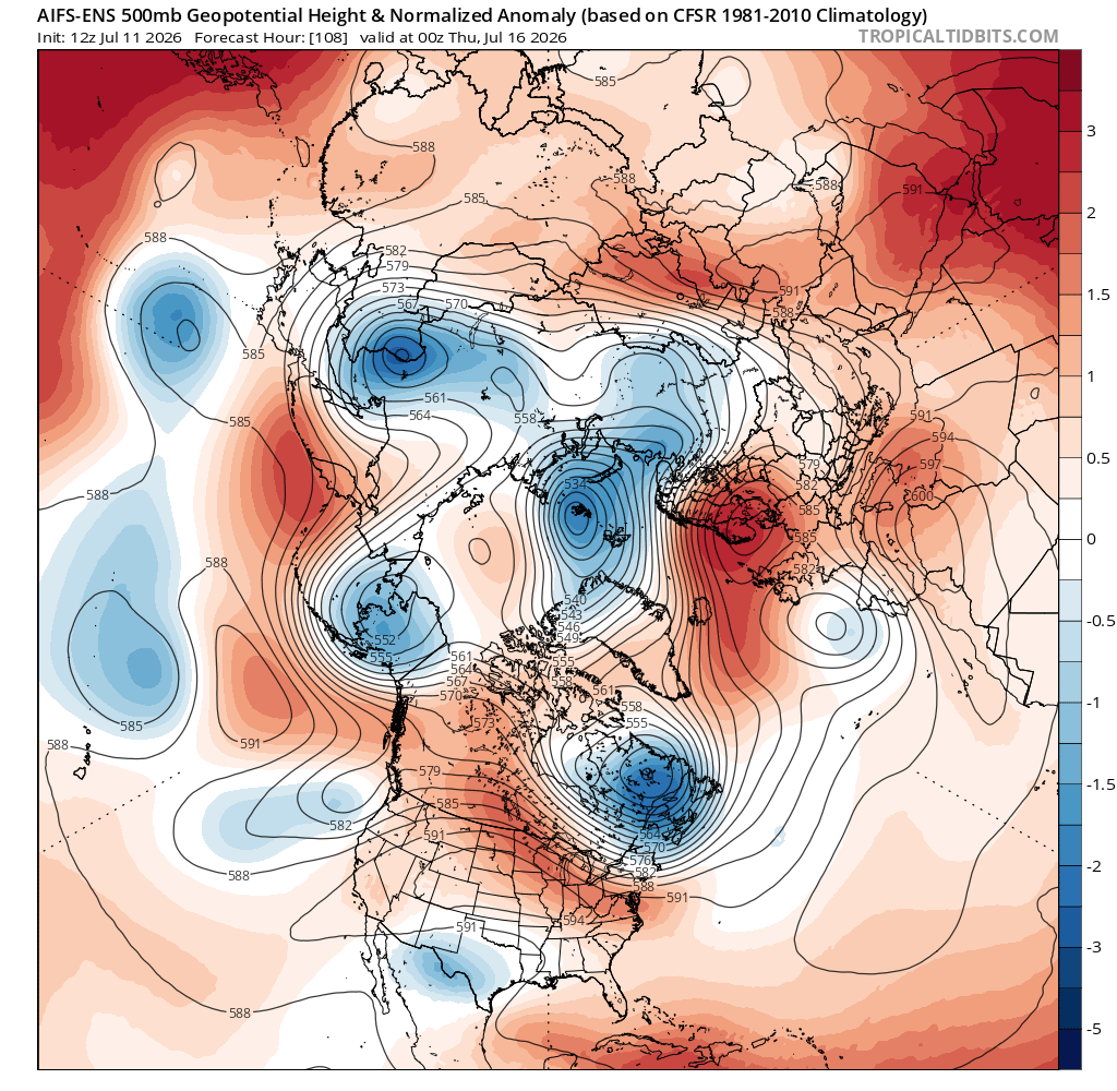
00z euro was really hot up here. 12z gfs goes from 24C to 0C up near CAR. Could be a couple chilly nights for the rad pits.
-
Probably COC this time of year unless it gets more south for self destruction.