

CaryWx
-
Posts
2,765 -
Joined
-
Last visited
Content Type
Profiles
Blogs
Forums
American Weather
Media Demo
Store
Gallery
Everything posted by CaryWx
-
I'm skeptical this event produces much of anything for the Triangle beyond a little zr early on. As pointed out by others the cold is simply not there enough early on and retreating rapidly as storm develops. Congrats to the mountain (maybe foothills) folks. Think you score decently here.
-
Have to see if 0z gfs still has the system. Maybe colder like the euro?
-
Better than SC I would imagine unless it is a slider
-
Can you post?
-
-
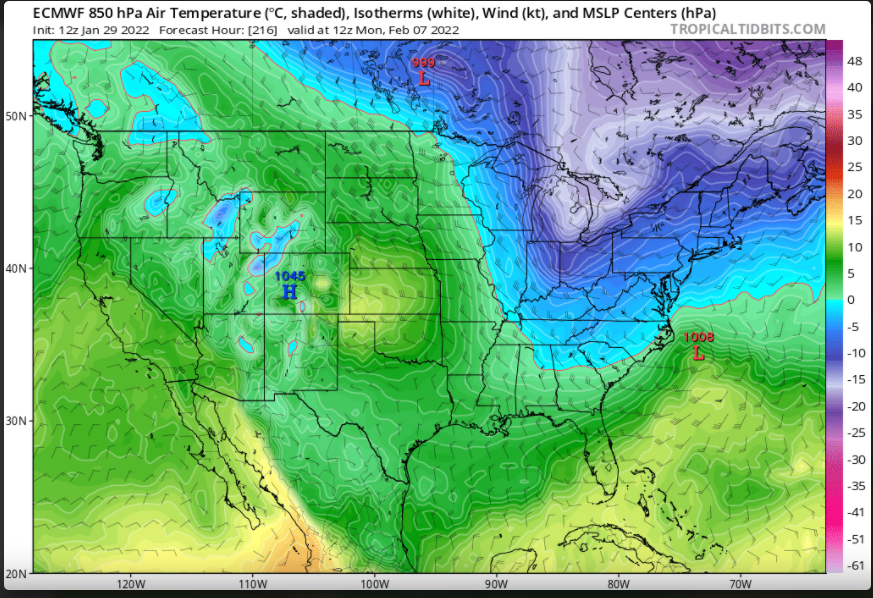
unless I'm mistaken that's some pretty solid continental cold
-

Potential 1/28-1/30 2022 winter storm
CaryWx replied to Prismshine Productions's topic in Southeastern States
and maybe UK now -
Potential 1/28-1/30 2022 winter storm
CaryWx replied to Prismshine Productions's topic in Southeastern States
-
Potential 1/28-1/30 2022 winter storm
CaryWx replied to Prismshine Productions's topic in Southeastern States
Yeah, Fv3 was more like 18z gfs and euro. This 0z suite will be telling maybe. Need to see it swing more to NAM look -
Potential 1/28-1/30 2022 winter storm
CaryWx replied to Prismshine Productions's topic in Southeastern States
Almost all inside it's wheelhouse of 48hrs. Vast majority of this activity anyway. This is not some 72-84hr window we're looking at -
Potential 1/28-1/30 2022 winter storm
CaryWx replied to Prismshine Productions's topic in Southeastern States
If the NAM is wrong I don't wanna be right! -
Potential 1/28-1/30 2022 winter storm
CaryWx replied to Prismshine Productions's topic in Southeastern States
1000mb LP southeast of Frying Pan shoals at 51hrs! -
Potential 1/28-1/30 2022 winter storm
CaryWx replied to Prismshine Productions's topic in Southeastern States
Yowzers! -
Potential 1/28-1/30 2022 winter storm
CaryWx replied to Prismshine Productions's topic in Southeastern States
Per 18z gfs precip output model Wake county will be shopping at 'the gap'. -
Potential 1/28-1/30 2022 winter storm
CaryWx replied to Prismshine Productions's topic in Southeastern States
not so sure this time -
Potential 1/28-1/30 2022 winter storm
CaryWx replied to Prismshine Productions's topic in Southeastern States
So I'm still struggling to understand here. Is this indicative of an earlier phase the euro and gfs have yet to pick up on? -
Potential 1/28-1/30 2022 winter storm
CaryWx replied to Prismshine Productions's topic in Southeastern States
Well euro and gfs are aligning more anyway on the 12z runs -
Potential 1/28-1/30 2022 winter storm
CaryWx replied to Prismshine Productions's topic in Southeastern States
Yeah was thinking that myself -
Potential 1/28-1/30 2022 winter storm
CaryWx replied to Prismshine Productions's topic in Southeastern States
Not sure I follow. Is this more towards the NAM or a solution further east and a later phase. -
Potential 1/28-1/30 2022 winter storm
CaryWx replied to Prismshine Productions's topic in Southeastern States
Getting some really strung out snow totals on these models that have concentrations in various and somewhat odd configurations across NC. Have to believe the final fruition would be more smoothly aligned. Wherever that will be. -
Potential 1/28-1/30 2022 winter storm
CaryWx replied to Prismshine Productions's topic in Southeastern States
GFS lining up with last euro run it seems on that band thru western piedmont. eastern piedmont a little drier? -
Potential 1/28-1/30 2022 winter storm
CaryWx replied to Prismshine Productions's topic in Southeastern States
ugh -
Potential 1/28-1/30 2022 winter storm
CaryWx replied to Prismshine Productions's topic in Southeastern States
Granted the NAM has been fairly consistent for what--4 runs in a row now? Still, this just makes me want to see the 12z LR model runs. The diversity in solutions will most assuredly need to start consolidating soon. We have all the RAOBs ingested now right? -
Potential 1/28-1/30 2022 winter storm
CaryWx replied to Prismshine Productions's topic in Southeastern States
you sure? -
Potential 1/28-1/30 2022 winter storm
CaryWx replied to Prismshine Productions's topic in Southeastern States
You think the Triangle had another 4hrs or so?

