wxmx
Moderators-
Posts
3,741 -
Joined
-
Last visited
About wxmx

- Birthday 12/29/1973
Profile Information
-
Four Letter Airport Code For Weather Obs (Such as KDCA)
MMMY
-
Gender
Male
-
Location:
Monterrey, MX
Recent Profile Visitors
The recent visitors block is disabled and is not being shown to other users.
-
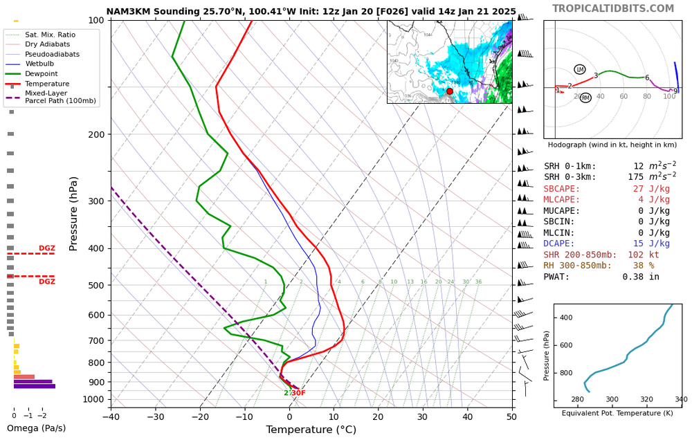
May be getting some light snow for several hours Tue morning here. No worries about warm nose above 800mb because snow growth is below that. Classic low level stratus with overrunning moist air thanks to Sierra Madre CAD. This usually produces drizzle, but since it will be below freezing for the whole shallow column, snow can occur. This is not common, but it happened in the aforementioned 2021 cold blast. Usually to get freezing temps here we get a full on artic dome, which lower the DPs drastically, inhibiting any precipitation. Surface temps may be a factor as well since they will be hovering around 32F. No accumulation is expected, other than on cold surfaces.
-
Recon says no major... Yet, but close
-
Looks like the other way around (EC-AIFS has always been in the GFS camp, BTW), 18zGFS has mostly conceded into a turn towards the SW into the BoC. It basically decouples it first, before the LLC turns to the SW. Euro weakens it, but not fully decouples. Now, looking at the current trends, I don't buy the GFS decapitating Rafael in 36 hours or so, as a matter of fact, we are probably looking at a bounce back to major status for the next advisory. If it can walk the fine line around the shear boundary, south of 25N, then intensity could be much higher than forecasted.
-
Shear is weakening, and Rafael is showing a more symmetrical/round shape on satellite, also an eye is clearing out. Latest recon confirms FL winds around 106kts, we'll see about central pressure, but I'm guessing a down trend will shortly begin, especially after dry air gets mixed out through the strong convection going on right now.
-
It looks like we are in the final legs of the ERC, with the old eyewall coalescing into the new one. Recon still shows a bit of a double wind maxima, but will probably disappear soon
-
Radar shows clear ERC going on now. It appears that it might be a matter of a few hours before the inner eyewall collapses. https://bmcnoldy.earth.miami.edu/tropics/rafael24/Rafael_5Nov24_Cayman.mp4
-
TCs west of 90W are a rare sight in November. If it keeps hurricane status, it would be a first.
-
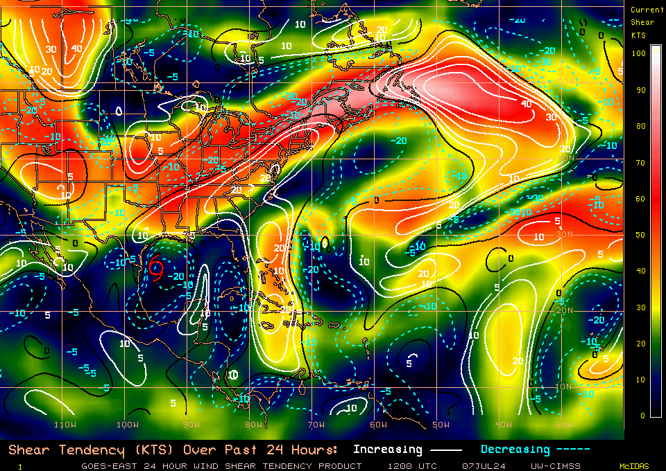
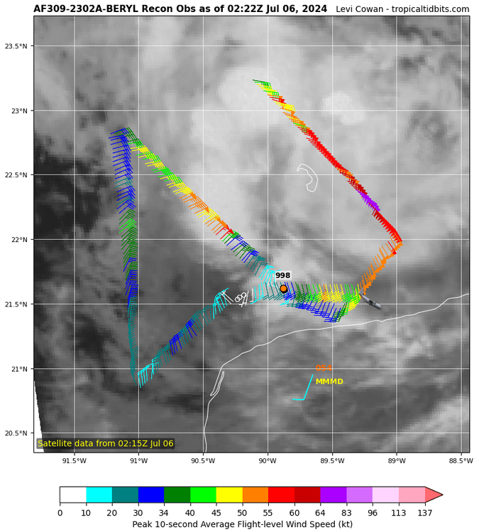
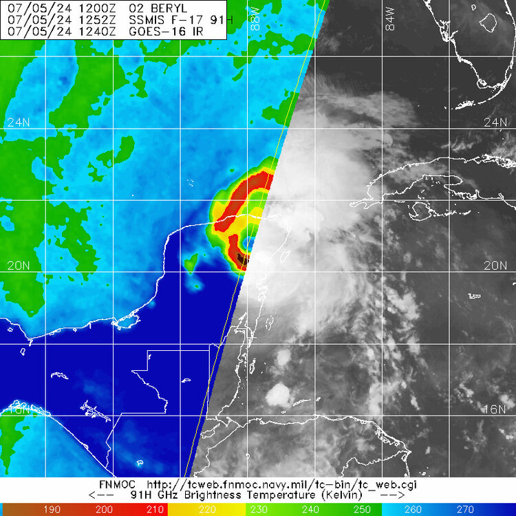
The step left that many models have shown (probably regarding core organization) appears to be happening now, according to the latest recon fix. Models also show the more NW motion resuming in a few hours. Also, shear is abating according to the latesr shear analysis and is probably the most favorable it has been since the Lesser Antilles


.gif.cef3666dfa4b18934c2692ddf6ad60f7.gif)

.gif.490f3e252bf4532344d9bde28ce46dbe.gif)
