buckeyefan1
-
Posts
13,278 -
Joined
Content Type
Profiles
Blogs
Forums
American Weather
Media Demo
Store
Gallery
Everything posted by buckeyefan1
-

Mid to Long Range Discussion ~ 2023
buckeyefan1 replied to buckeyefan1's topic in Southeastern States
That map is for 6+” not approximately 4 -
Mid to Long Range Discussion ~ 2023
buckeyefan1 replied to buckeyefan1's topic in Southeastern States
Same for me sir the struggle is real -
Mid to Long Range Discussion ~ 2023
buckeyefan1 replied to buckeyefan1's topic in Southeastern States
There’s a shit ton of energy associated and just a slight change from any of the 3-4 pieces flying around will give various solutions. I hope the same thing happens when there’s cooler air around. The hourly meltdowns would be epic -
Mid to Long Range Discussion ~ 2023
buckeyefan1 replied to buckeyefan1's topic in Southeastern States
It looks overdone. There’s a stable layer, thanks to the rain, that should prevent the higher winds from mixing to the surface. Still plenty of time for that to change of course. The mountains are a different story. I do expect the winds to be kicking at higher elevations -
Mid to Long Range Discussion ~ 2023
buckeyefan1 replied to buckeyefan1's topic in Southeastern States
I'm just as frustrated as you all and I keep reminding myself that the December warmth was advertised well in advance and to be patient. I know. It's freaking hard to do after the disaster of last winter. Better times are coming. They always do. Hopefully it's sooner rather than later -
Mid to Long Range Discussion ~ 2023
buckeyefan1 replied to buckeyefan1's topic in Southeastern States
Thank you for this -
Mid to Long Range Discussion ~ 2023
buckeyefan1 replied to buckeyefan1's topic in Southeastern States
That system at Christmas is what will set our table as we head into peak season At least that's my story and I'm sticking to it -
Mid to Long Range Discussion ~ 2023
buckeyefan1 replied to buckeyefan1's topic in Southeastern States
I know and I was super grumpy and hangry and read it wrong. My apologies sir. I believe the MJO will be entering phase 7 by mid month and phase 8 by the end of the month with 1-3 Jan into Feb. If we have to be in 4-6 with a strong Nino during the winter, I'd much rather have it in Nov-Dec. The -NAO should return by the first of the year as well and hopefully the long range is correct and it stays that way. The players should be on the field come Jan and we'll see where it goes, but I'm extremely hopeful and excited about how things should be unfolding for us. -
Mid to Long Range Discussion ~ 2023
buckeyefan1 replied to buckeyefan1's topic in Southeastern States
I needed this giggle. Thank you -
Mid to Long Range Discussion ~ 2023
buckeyefan1 replied to buckeyefan1's topic in Southeastern States
What part of from Christmas to the 2nd week of January is the 17th to Christmas? Sigh edit: sorry I’m grumpy and hangry this morning. There are several things that I see. I don’t have time right now to go over it, but I’ll give more details after work. -
Mid to Long Range Discussion ~ 2023
buckeyefan1 replied to buckeyefan1's topic in Southeastern States
The period from Christmas to the second week of Jan and then again at the end of January to mid Feb have had my attention for a while. I’ve had my fingers crossed that there’s no can kicking coming and it holds firm. -
Mid to Long Range Discussion ~ 2023
buckeyefan1 replied to buckeyefan1's topic in Southeastern States
I was wondering if anyone noticed that thing of beauty -
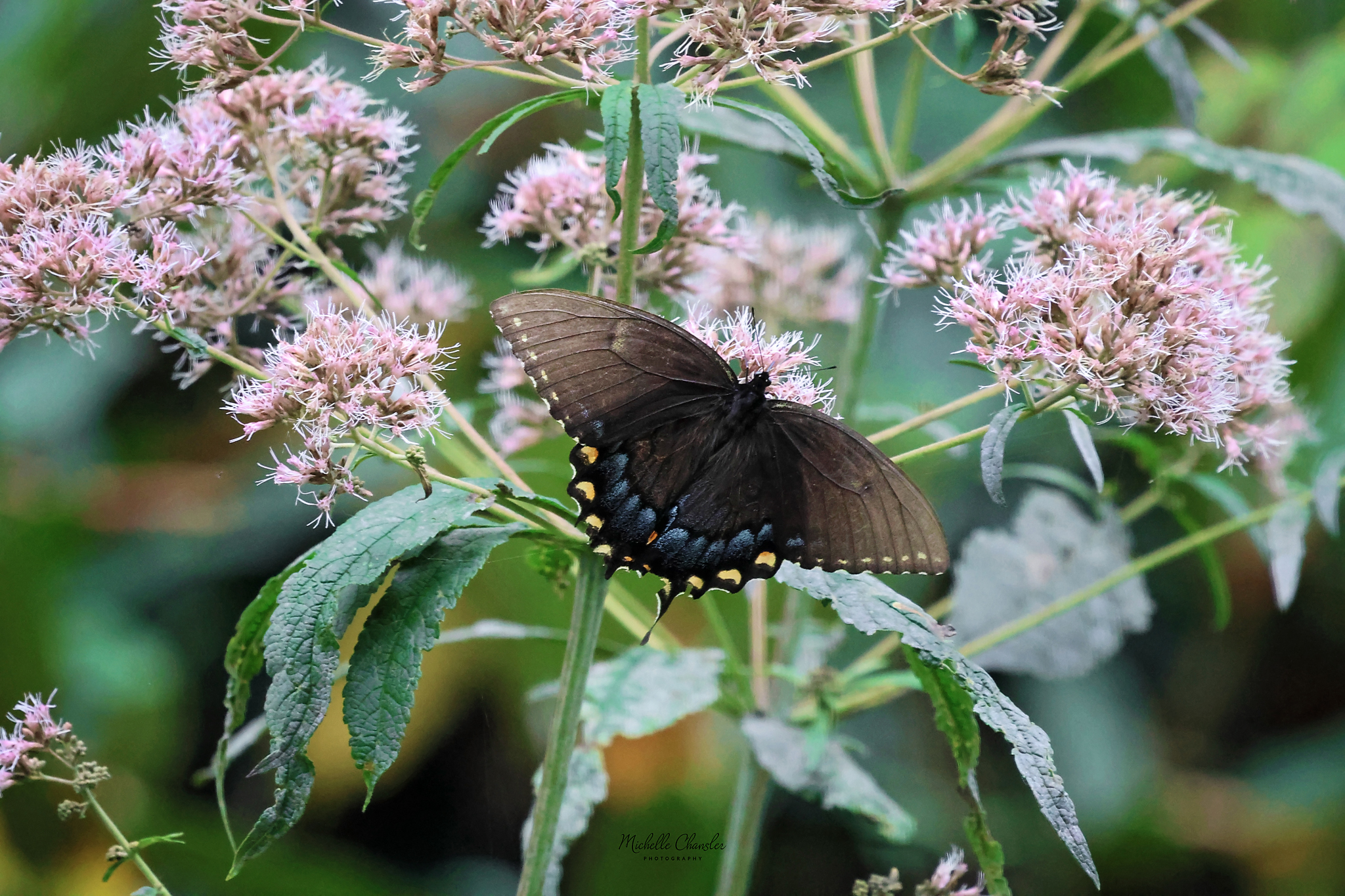
Probably the last butterfly picture until next year

-
Roseate spoonbill on a beautiful morning

-
Mid to Long Range Discussion ~ 2023
buckeyefan1 replied to buckeyefan1's topic in Southeastern States
It looks like El Niño arrives late next weekish it seems -
Made the 20’s club with a low of 25
-
Got down to a crisp 36 imby
-
You can blame the ridge that was parked over us
-
2023-2024 Fall/Winter Mountain Thread
buckeyefan1 replied to The Alchemist's topic in Southeastern States
It was a nice surprise to hear it pinging -
Rumbling thunder and some pea sized hail imby currently
-
2023-2024 Fall/Winter Mountain Thread
buckeyefan1 replied to The Alchemist's topic in Southeastern States
Pea sized hail here -
2023-2024 Fall/Winter Mountain Thread
buckeyefan1 replied to The Alchemist's topic in Southeastern States
I agree -
2023-2024 Fall/Winter Mountain Thread
buckeyefan1 replied to The Alchemist's topic in Southeastern States
GSP .SHORT TERM /SATURDAY NIGHT THROUGH MONDAY/... As of 105 PM Friday...The pattern begins to change sigfnt/ly Sat night as a deepening upper low swings a potent s/w over the FA. An attendant sfc bndry will also cross the area Sat night and bring in a cP airmass change. Winds pick up behind this front and the higher NC mtn elevations will likely see gusts arnd 35-40 mph thru mid- morning Sun. Too early and winds a little too weak for an NPW issuance, but will continue to monitor this scenario over the next couple fcst packages. On Sun, expect the better llvl CAA to kick in and mtn showers associated with a moist wrap around flow will possibly yield periods of high elevation snow or a ran/snow mix with little accums. Cold air becomes entrenched over the region as a broad and deep upper trof begins to transit overhead. So have max temps about 5-8 degrees below normal Sun and around 15 degrees below normal for Mon. Mins will begin around normal Sat night, then drop into the m40s non/mtns and arnd 40 F mtn valleys Sun night. -
2023-2024 Fall/Winter Mountain Thread
buckeyefan1 replied to The Alchemist's topic in Southeastern States
You’re gonna make me pull the trigger early on my WB subscription -
It was a beautiful 42.0 degrees imby this morning and it's currently 71.1 degrees