pasnownut
-
Posts
10,320 -
Joined
-
Last visited
Content Type
Profiles
Blogs
Forums
American Weather
Media Demo
Store
Gallery
Everything posted by pasnownut
-
are you part Neanderthal? lol I like the cold, but my new woodstove has been fired up 3 evenings already.
-
I dont think many are questioning the forecast part...as much as all of the ways out in the risk part. In fairness if those risks were applied in many locals, one could have a "way out" of not verifying. IMO that risk part is akin to them being wrong half of the time and still having a job, if ya know what I'm getting at. I wish I could go at my sales projections like that....but I can't.
-
wow. ya think trainer will turn on the heat??
-
truth told, that risk part didnt sound like horst. He ususally throw it out there and sees what sticks. Glad to hear it wasnt him. He's better than that.
-
I was just thinking the same. The risk part takes away much of what they put into the forecast part. That kind of forecast/risk assessment thrown on this site is usually one that takes a beating. Remove the risk part, and if verified would be impressive (or not if you are a snow weenie). I'm going to look at what last year wasnt to be vs how it turned out (better) and just hope for another surprise year. No matter, I'll view 10+ day maps with little weight until something tells me otherwise. edit-and for any that think I'm showing bias, show me a forecast that says get shovels ready....and put a pile of risk factors into it...and I'll view it just the same as Horsts.
-
was looking at 511 cams to see if your western pals might have gotten some flakes, but couldnt find any.
-
Yeah, thats true but I called it a T to be safe. 46-47 on car thermo at lunch here in etown.
-
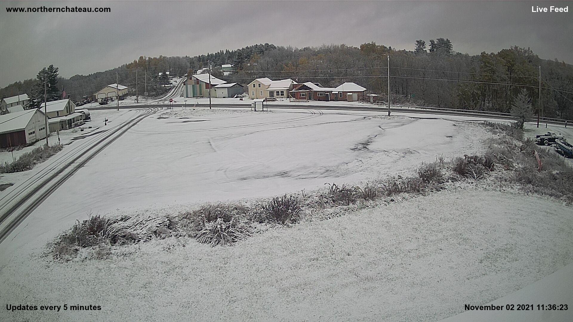
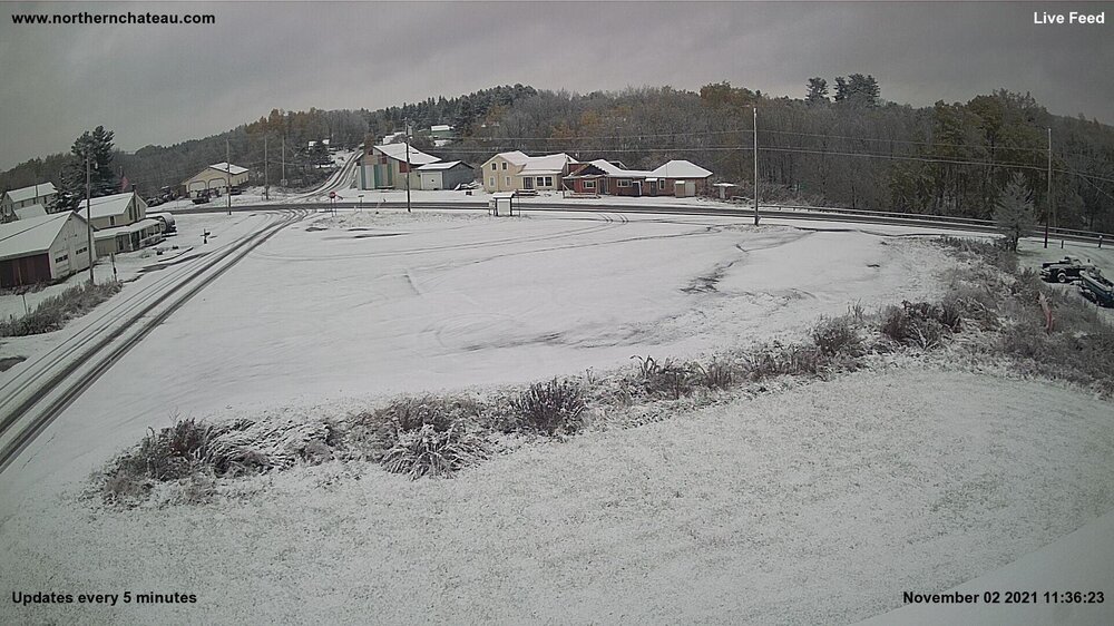
and for our snowhounds to the north. Another T in the books. http://www.northernchateau.com/northernchateau.htm
-
https://www.resortcams.com/webcams/canaan-valley-resort-midstation Keep looking pal. Looks like a few cams still show flurries but was nice a bit earlier. Thats an official T in da books for them.
-
My ass would be long gone...out in the cold, if I used mid 50's as a heat on standard. Snowing in Davis and Ghent. For you fact checkers, here are the cams. https://www.resortcams.com/west-virginia-ski-cams/
-
Hope yall had a good weekend. Saturday was brighter than expected and Sunday ended nicely after a rather dreary (and expected) start. Looking forward to hearing who sees the first flakes in the next week.
-
NAM continues to "dryslot" us, so no matter how you came about it....you win. I dont think the sun shows, but verbatim MSLP rots away over the buckeye state as a jump to an off coast solution leaves us "jipped" here. Truth told, I'd be glad to see your thoughts verify. I'm tired of wet weekends...
-
we had multiday rains up north last week. my guess is that ground water tables are getting to aoa normal, and less absorption going on. Dunno.
-
noticed on more recent runs somewhat of a miller B type progression s/ stalling primary and eventual secondary pop. Once can also see qpf distribution sorta taking on east central pa jip zone/dryslot of sorts. 3k illustrates it pretty well. IF thats the case, then Canderson could find an easier path to victory.
-
I was being a bit sarcastic....shocker....I know I hope PSU wins every game, but dont feel they are firing on all cylinders...coach included. I thought he'd never leave this year, but may be wrong as it sounds like he might be half checked out already....sure hope not. I wont root for him at USC like I do Andy Ried and the chiefs.
-
I was just throwing a bit of weather chat in amongst the football chatter.... My apologies...........can y'all forgive me.
-
If one has been following the progression (and earlier attempts at retrograding), it should at least raise an eyebrow to uncertainty for saturday as a stall of some sort remains a possibility.
-
NBD. Lets just say they got a little moister.
-
24hr qpf got wetter for saturday. Thats all Im getting at. I think we all agree tomorrow is no day to pay for a car wash.
-
Sorry dude. It doesnt cut back.
-
and here is the NAM's qpf through Sat. If one toggles, you'll see its wetter. I'm betting on wetter as it gets closer.
-
hmmm....moist to me....but what do I know....I'm from Lanco.
-
hehe. I prefer horse drawn trailer w/ hay bails.....and a keg. Oh and candy - almost forgot that part
-
Hey............ WTF
-
I saw a couple hints of frost on shaded grass and a couple rooftops on way to work this am. Not heavy whatsoever, but after almost 53 years of searching for frozen particles....it was undeniably frost. Almost got out of SUV to touch it...I'm whacked like that.