wxeyeNH
-
Posts
9,649 -
Joined
-
Last visited
About wxeyeNH

-
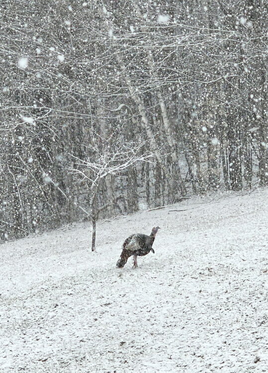
Scott, this picture came up on my Facebook "remember" feed. 10 years ago this week. I remember that this picture made me happy. How time flies! Gene
-
The last of yesterday's 3.75" of snow is almost gone. There is still some older snow in the woods and snow piles. I think this season is about a wrap. I ended with 88" of snow. Somehow I eeked out a slightly above snowfall year. Elevation makes such a difference. Anyhow the lawn is still brown but I had to drive to Pennsylvania a couple of days ago. It was nice to see the forsythia blooming in Massachusetts and the Norway maples in bud in Connecticut while it was true spring past NYC area.
-
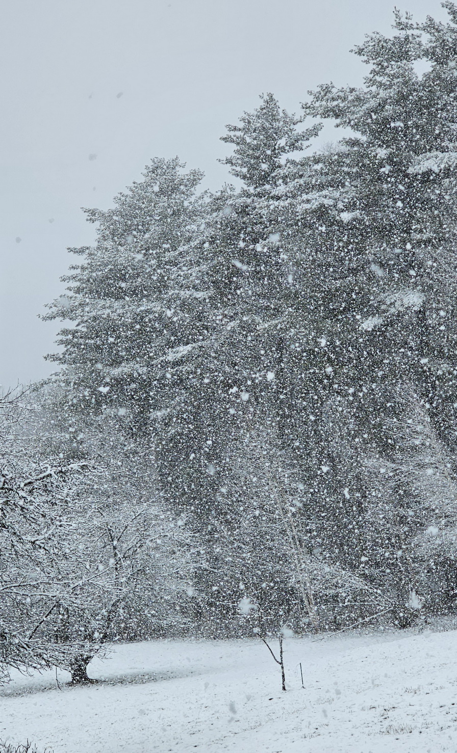
33.1F Moderate to heavy snow. 2"
-
31.8F Light to moderate snow
-
31.5F Moderate snow 1/2"
-
30.4F Vis 1 mile light snow. Snow started an hour ago and the ground is getting white
-
Another CAD win day. High was 37F. Stuck at 36F now. We had about 1/2" of snow and sleet last night. Still lots of snow to be found in the woods. Awaiting the first green grass.
-
33.9F Light snow
-
38.5/10F How much snow, sleet or freezing rain?
-
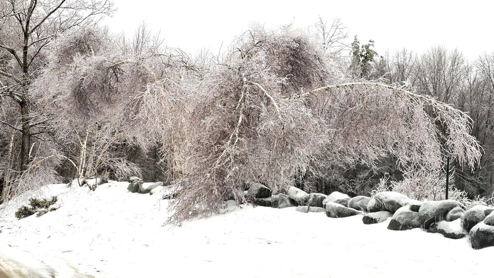
The ice is melting off all the trees at once with rising temperatures. I have never experienced something quite like this. A constant ice crystal roar in the woods. My phone's little mic probably didn't fully pick up the roar coming from every direction but it is like a sound I have never quite heard. ( No precipitation was falling when I recorded this)
-
Finally above freezing 32.6F Birch bender or Birch destroyer? Amazing we have power.
-
31.7F Moderate freezing rain. Tree damage is begining to occur. We have yet to go above 32.0F
-
31.1F cloudy. High was 32.0F Ice on the trees are continuing to slowly increase with periods of freezing drizzle and light snow today. Any more freezing rain tonight will start causing tree problems.

-
31.9F Light snow. We have had snow grains all day but now the flakage is big enough to call it bonafide light snow. The ice on the trees continues to slowly increase and the snow is sticking to the ice with temps around 32F. Will be drop a few tenths of a degree as we lose solar insulation or will the slowly warming atmosphere win out before the heavier stuff arrives?
-
31.2F Snow grains This temperature is the highest since when the first snow began the other night. I am surprised that the light freezing drizzle has turned into SG. It's giving all the ice on the trees a very frosty appeal.