Interstate
-
Posts
5,728 -
Joined
-
Last visited
Content Type
Profiles
Blogs
Forums
American Weather
Media Demo
Store
Gallery
Everything posted by Interstate
-
This one’s gonna be hard to digest
-
but always a chip on the shoulder... and always rubbed it in when he got snow on Parr Ridge and no one else did and how me moved their just for the snow.
-
Yeah and his "choice" went against the term of agreement of this website.
-
Yeah... I do not know why you have to push your political opinion on people that come here for weather. I know he was posting it in banter... but I come here to get away from the real world...not to have someone push their political views on me. Also, he didn't delete his account... so he will be back. You can look at his account, and see he logged in 50 minutes ago... more like a power type move that backfired.
-
It should be rocking tonight
-
Huge game for MD tonight. That Ohio State loss looms huge now. They would be on a 9 game win streak and be the hottest team in the country. The next 4 games would really put them on the map.
-
60.8 for the high here in 21057
-
Low of 15.8 here in 21057
-
There is a perfect answer. No politics on this board. It only ends badly with keyboard crusaders.
-
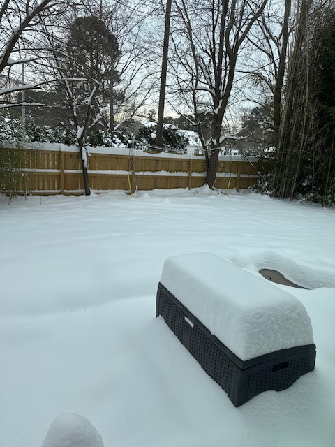
I hope my recycle cans survive the night.
-
Sister lives in VA Beach.
-
Well since no model had anything on it for a few days... I was wondering why they even posted a WWA anyways.
-
Looks like California is St Mary’s county is getting raked
-
fixed
-
No short range model show anything in Central and Northern MD
-
So with these WWA in Central and Northern MD (what a joke)... will give fuel to the school systems to open 2 hours late. If it doesn't snow, they will blame the WWA for the late start anyways.
-
Yep... the biggest problem is it looks like the ULL never goes negative... stays neutral or positive.
-
and for some reason they are brining the roads north of Baltimore
-
Yeah... last Friday

-
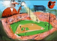
Remember when people laughed at me the other day when I said is this going to be a Miller B screw job.
-
That Ohio St meltdown loom huge now. MD would be a top 10 team in tomorrow rankings if it wasn’t for that loss.
-
 We do not like any other area but our own.
 -
Two of them now
-
Maybe so. But they are all doing it. It is not like it is just one of them.
-
The only reason you are going to get destroyed is because you post is positive in nature.