
Interstate
-
Posts
5,699 -
Joined
-
Last visited
Content Type
Profiles
Blogs
Forums
American Weather
Media Demo
Store
Gallery
Everything posted by Interstate
-
88.3/80.9 HI 106.6 here in 20157
-
Yep I was just going to say that tomorrow looks like it could be fun according to the 3K Nam.
-
Just some very light rain that didn't even measure in my gauge... looks like it is done for the day too.
-
I am okay with this. I have 12U tryouts tonight at 6PM
-
77.5/77.2 here in 21057 HRRR and NAM say no rain for me... but my point and click says 1/4 to 1/2 of an inch which is down from 3/4 to 1 inch in last night's forecast.
-
Difficult day for LWX and their forecasts.
-
@WxUSAFjust wanted to say sorry for ending Elkridge 11U season at Clash of the Titan beach tournament.
-
Made it up to .06 so far
-
so far here in 21057 pretty have stayed between lines... a whopping .02 and doesn't look impressive to my west either.
-
84.9/79.9 HI 98.8 already
-
That poor spot in eastern Balt county and west harford county has been getting killed today. I am just to the west of it thank god.
-
That poor spot in eastern Balt county and west harford county has been getting killed today. I am just to the west of it thank god.
-
Same here. Constant vivid lightning and thunder, but no rain. The storm is just sitting to my southwest with no movement.
-
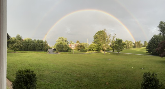
double rainbow
-
I am not really sure why LWX hoisted Flash Flood Watches.
-
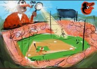
Baseball tournament all weekend in Georgetown DE. Hoping for good weather.
-
So what happened to our chances for rain today. Yesterday my forecast said 70% and now it is down to 40%
-
Swing and a miss here in 21057... I can hear the thunder though. Cooled down to 82.4
-
High was 96.1... already down to 91.6
-
That could also be it for the mouth.
-
Ended with .52 inches and a little wind and thunder.
-
Second round here is 21057 is just a couple rumbles of thunder and heavier rain. Nothing at all
-
Nothing sauce here in 21057.
-
FFW posted
-
It is now


