Interstate
-
Posts
5,694 -
Joined
-
Last visited
Content Type
Profiles
Blogs
Forums
American Weather
Media Demo
Store
Gallery
Everything posted by Interstate
-
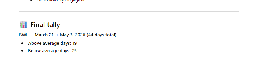
I did... This is BWI
-
Yes we have had some hot days this spring... but I feel like me have more below average than above average days.
-
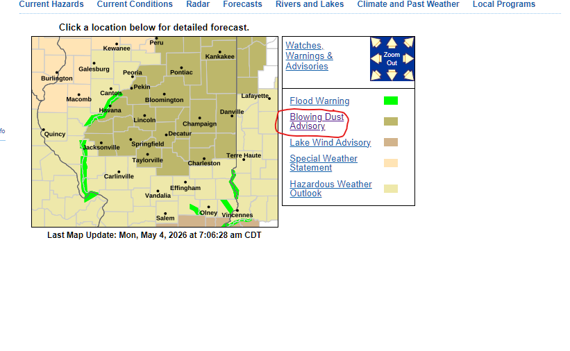
This is a new one for me
-
.71 today for a total of 1.11 since Saturday.
-
Flying now... 38.1
-
31.8 for the low... already back above freezing.
-
77 degrees is August? Am I missing something?
-
Ahhhhh... the rain is nice up here in 21057... .2 so far and more to come.
-
Yes the wedge is holding strong in the satellite. You can see it is starting to erode though.
-
Top out 74.3. Not near any water.
-
I am looking forward tomorrows game
-
Sorry to hear. RIP
-
 Rain... and nothing else
 -
I am happy to be stuck between lines
-
It would be crazy to have that severe thunderstorms squall line go through, and have an end as sleet and snow
- 1,093 replies
-
- 6
-

-

-
- severe
- thunderstorms
- (and 1 more)
-
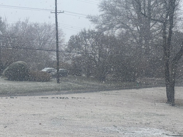
Way more than expected.
-
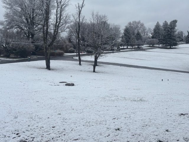
measured 1 inch on the patio table
-
-
Snow then Rain then Snow then etc... Rate Dependent... 35.4/35.1
-
Dropped 2 more degrees. No rain yet
-
Dropped from 64 to 57 in the last 20 minutes
-
64/62.2 Midnight reading
-
Nothing sauce here in 21057