

CarlislePaWx
-
Posts
2,423 -
Joined
-
Last visited
Content Type
Profiles
Blogs
Forums
American Weather
Media Demo
Store
Gallery
Posts posted by CarlislePaWx
-
-
At 3:00pm here in Carlisle, it is snowing heavily. Since 2:15 I have recorded an additional 0.8" for a storm total of 3.3". So the intensity is running around 1.2"/hr. The temp is still holding at 29.8 degrees with a dew point of 28.9 and a wet bulb of 29.3. Looking forward to the 4-6pm period of really intense snowfall.
-
Hi guys. I was called away unexpectedly, but I'm back with current update...
At 2:15pm it was snowing heavily in Carlisle. The temperature is still 29.8 degrees with a dew point of 28.9 and a wet bulb of 29.3. Since my noon observation with a storm total then of 0.7", I just measured a new storm total of 2.5". That means that during the past 2 hours and 15 minutes an additional 1.8" has accumulated. I have 118 replies to catch up on. I'll be back at 3:00.
-
 2
2
-
-
Update from Carlisle...intensity has ramped up and it is now snowing heavily for the first time of this storm. Est. rate is now easily 1" / hr.
-
3
-
-
At 12:00 noon here in Carlisle...moderate snow continues to fall. Intensity varied between moderate and light during the past hour. Intensity is definitely back up to at or just above 0.5" / hr. During the past hour 0.5" of new snow has accumulated, bringing the storm total to 0.7".
Temperature has remained steady close to 30 degrees. The dew point is now 29 degrees and the wet bulb is 29.7 degrees.
It looks like the real heavy snow is slowly approaching from the south. We'll see how this next hour pans out.
-
2
-
-
Snow rate approaching 0.5" / hour with larger flakes. Temp 29.8 .
-
At 11:00am in Carlisle, it is now snowing moderately. Somewhat larger flakes have begun to appear in the last 10 minutes. Temp holding steady at 30 degrees with a dew point of 28 and a wet bulb of 28.9. I have just measured 0.2" of snow and the storm total is also 0.2".
-
1
-
-
Snow slowly increasing in intensity, to the point where real accumulations are taking place, albeit a few tenths. Temp 30, DP 26.8, Wet bulb 28.8. I'll have my first formal ob at 11:00.
-
Light snow with small flakes began about 10 minutes ago. Thanks to temps around 20 for a good portion of the night, everything is caving. Temp up to 30 with dew point of 26. Wet bulb is 27.9 so that's the lowest it could drop if it starts snowing mod to heavy.
NWS point and click for me now says 4 to 8 this afternoon with 1 to 2 additional tonight for possible total of 5-10". We'll see...
-
At midnight with still totally clear skies and calm winds I'm at my low of the day at 20 with a dew point of 18. I honestly did not expect temps to drop this low before clouds coming in. The 20 degrees was the new low for the day as my overnight low was 21.6. Now I get to have two days in a row with a low of at least 20, which is only around 2 degrees below normal for me.
The clouds will stop the drop in temps, but that doesn't matter because they've dropped to within 2 degrees of the dew point, so near saturation. Because it will be overcast by sunrise, we don't have to worry about the sun. See you all in the morning. I'll be reporting in with my hourly obs throughout the day. Good night.
-
3
-
 1
1
-
-
21.6 / 19 with crystal clear skies.
-
1
-
-
slowing down the descent, but still dropping. Now at 23/19.
-
1
-
-
Down to 25/20.
-
Just took an updated look at my NWS forecast and they have taken rain out of the forecast and now have all snow with a range of 4 to 9 inches. Encouraging.news.
-
4
-
-
12 minutes ago, Bubbler86 said:
I understand, I was being sarcastic about WB's totals which are dubious at times.
I would think he would use WB data since he is the founder and owner of Weather Bell. (I'm sure you already know that but others around here might not.)
-
4 minutes ago, Blizzard of 93 said:
I’ll take a blend of the 18z GFS, Icon & RGEM!
This is another GFS view


Interesting differences between WB and Pivotal algorithms.
Here's Pivotal:

-
3 minutes ago, Itstrainingtime said:
Yes, you are correct...at the same time, this map does not include the entirety of next week's storm.
So I guess for now we're both half-right?
-
36 minutes ago, Itstrainingtime said:
That is one wound up beast for next week - this is just through 7am Wednesday:
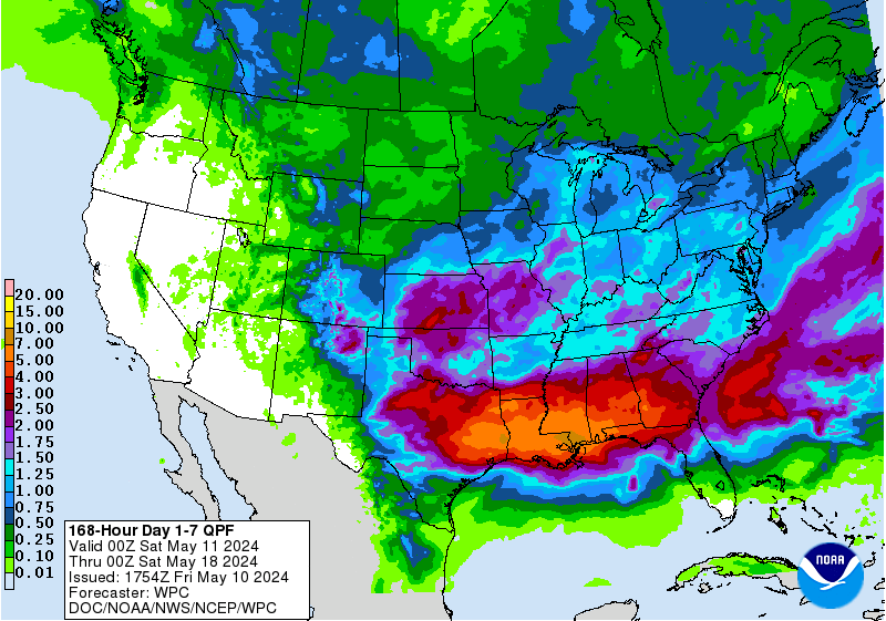
Correct me if I'm wrong but this qpf map includes the upcoming weekend storm. 7-day qpf. That helps take some of the melting sting out of the rain.
-
This run puts DC back in the game, going from less than an inch back up to around 6. I do hope for their sake that they get to join the party.
-
I guess I overreacted a little when I saw the low head east from Norfolk. That position was so much further south than the other runs and models that showed it east of the DelMarVa.
-
The whole presentation seems whacked, moreso than 18z, and yet Lanco takes the prize (this run).
-
-
Don't throw it out...lol. Somehow it gives LSV 4-8" by 18z Sunday.
-
heads out to sea from southern VA coast. Now that's a drastic change. Throw it out?
-
GFS axis of heaviest moves south and east by quite a bit. Uh-oh


Central PA Winter 23/24
in Upstate New York/Pennsylvania
Posted
At 4:00pm in Carlisle, it continues to snow heavily. The real heavy stuff has not arrived yet. During the past hour an additional 1.0" has accumulated, giving a storm total of 4.3". Meanwhile, the temperature has increased a little more than one degree to 31.1 degrees.