Terpeast
-
Posts
5,326 -
Joined
-
Last visited
Content Type
Profiles
Blogs
Forums
American Weather
Media Demo
Store
Gallery
Everything posted by Terpeast
-
Ensembles this morning start to cool Canada down around Jan 1-2, so I’m thinking we start to see colder air build back in around Jan 3-5
-
FWIW raindance thinks Jan will be warm and Feb cold for us. Normally I'd disregard, but he's been killing it for the last 8 years apparently.
-
Yeah those warm ssts in the MC seems to have stalled the MJO or held it back, but I think we eventually get to 7. Not sure if we get into 8 at amplitude though
-
It will be interesting to see if the wwb verifies along with weakening trades around the first of Jan.
-
Judging from the 500mb vort, the gfs and icon aren’t that far off from each other. Icon is more negatively tilted and I think that’s what we need here.
-
The Euro ensembles currently are a leader in 2-6 weeks lead times based on the verification scores I’m seeing. They handled the early season cold pattern the best as well as the November torch. So I’d give EPS a slight advantage over other models as of now. I wouldn’t sleep on the Graphcast though. Its been doing pretty well.
-
Yeah I wouldn’t be so quick to punt January. Ensembles/weeklies show the PNA ridge building back
-
They’re capitulating in mid December? Sheesh
-
Looks like coastal areas might have a better shot at something. Delmarva/coastal NJ, LI, etc. Very low expectations west of I-95 other than maybe some snow showers/snow TV
-
It's looking like after the late month warm up, we're looking at a flip to a colder pattern in January once the EPO goes back negative and PNA ridging returns. But I'm still unsure as to the orientation of the ridge out west that may influence the cold trough east. If we get a mixed bag of competing influences, we may either see that trough dump out into the Atlantic and/or pressed NWard by a SE ridge. I'm actually hoping for the latter because it would bring that storm track closer to us instead of shortwaves sliding way out to sea like the one on 12/21-22.
-
0.66”
-
11/21: T (brief graupel) 11/22: T (non accum snow showers that lasted a few hours) 12/1: T (snow shower that briefly dusted) 12/15: 0.1” slush with rain/slow/sleet mix in an afternoon
-
12/15 Possible I81 event. First inch of the season out here?
Terpeast replied to clskinsfan's topic in Mid Atlantic
Whoa, heaviest now! Ripping well that was brief. But it temporarily whitened my deck for a minute or so -
12/15 Possible I81 event. First inch of the season out here?
Terpeast replied to clskinsfan's topic in Mid Atlantic
Yeah 200 ft makes a huge difference in a system like this. I wonder if Tysons Corner has had any accumulation -
12/15 Possible I81 event. First inch of the season out here?
Terpeast replied to clskinsfan's topic in Mid Atlantic
Back to snow now. I think this is the last round -
12/15 Possible I81 event. First inch of the season out here?
Terpeast replied to clskinsfan's topic in Mid Atlantic
Just switched over to rain/sleet. 33/32 that was fun while it lasted -
12/15 Possible I81 event. First inch of the season out here?
Terpeast replied to clskinsfan's topic in Mid Atlantic
Congrats. I’m in Ashburn and I have a slushy deck -
12/15 Possible I81 event. First inch of the season out here?
Terpeast replied to clskinsfan's topic in Mid Atlantic
Mulch just caved -
12/15 Possible I81 event. First inch of the season out here?
Terpeast replied to clskinsfan's topic in Mid Atlantic
That’s in Lucketts?? I’m 15 min south of you and no real accumulation like yours. Ripping fatties now tho -
12/15 Possible I81 event. First inch of the season out here?
Terpeast replied to clskinsfan's topic in Mid Atlantic
looks better with video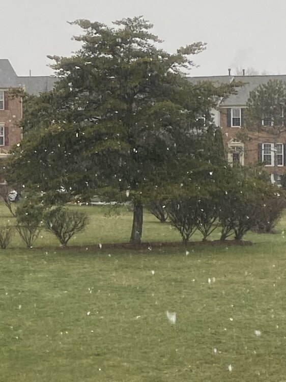
-
12/15 Possible I81 event. First inch of the season out here?
Terpeast replied to clskinsfan's topic in Mid Atlantic
Changed back to snow! Heaviest yet -
12/15 Possible I81 event. First inch of the season out here?
Terpeast replied to clskinsfan's topic in Mid Atlantic
Less fatties more white rain now as the yellows clear my house. 36/32 -
12/15 Possible I81 event. First inch of the season out here?
Terpeast replied to clskinsfan's topic in Mid Atlantic
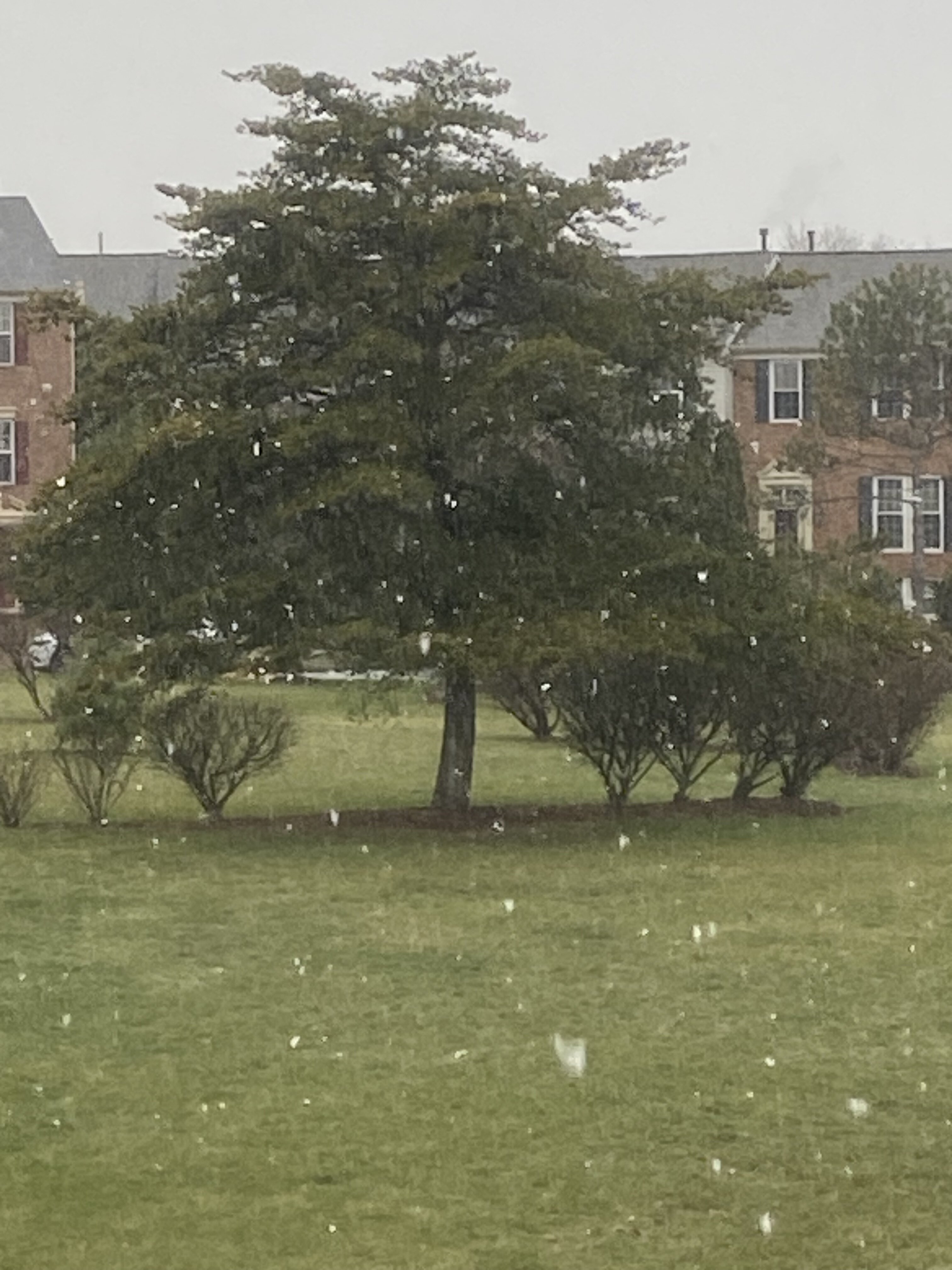
Starting to stick to the deck! Grass starting to cave. I have to say that I did not expect this nice surprise! -
12/15 Possible I81 event. First inch of the season out here?
Terpeast replied to clskinsfan's topic in Mid Atlantic
Wouldn't call it "ripping" but these fatties make for really nice snow TV -
12/15 Possible I81 event. First inch of the season out here?
Terpeast replied to clskinsfan's topic in Mid Atlantic
Fatties starting to come down