Terpeast
-
Posts
5,326 -
Joined
-
Last visited
Content Type
Profiles
Blogs
Forums
American Weather
Media Demo
Store
Gallery
Everything posted by Terpeast
-
Good morning. I woke up at 5 and tried to get back to sleep, but I caved and checked this forum to see what the euro said. Happy that I did. Even the 06z gfs!
-
While we don’t have the typical cold high to the north, we do have northerly flow from Canada down to the upper mid Atlantic thanks to the TPV to the NE. I think it effectively serves the same function as a cold high would. But this system is so dynamic that any northward shift would basically shut us out of any significant accumulation, and favor more icing. I’m just hoping that doesn’t happen, but you could be right.

-
The goal posts are set. Gfs/icon on one extreme, ukie on the other.
-
What’s interesting is that GFS performance really nosedives on some specific periods (1-2 days) and then gets back in line with the CMC and Euro, which have smaller dips. I haven’t checked, but my hunch is that the GFS struggles mightily with highly dynamic storms and/or major pattern shifts. Would have to do some reanalysis to back this up, but it’s getting late
-
As far as recent 1-5 day verification performance goes: 500mb heights: Euro is top, CMC very close second, GFS distant third 850mb temps: Euro top, CMC and GFS are about the same Did not check ensembles.
-
CMC is a forum wide snowstorm with little or no mixing. I need to check its verification scores within 5 days, but it’s up there last time I looked.
-
CMC also closing off the low, which all models have so far trended to. But confluence is stronger and more cold air is pressing down SW at least for the onset.
-
Not a fan of the GFS run either. We’ll see what the CMC has to say.
-
I do like the sfc low placement on the nam at the end of its run
-
Gotta say this is an extremely dynamic system, wow
-
See that vort energy pinwheeling across the south end of hudson bay? Could interact with the s/w when it gets closer
-
Good observation by clskinsfan, even the tiniest differences in confluence can create big shifts with snowfall. We’re talking about <50 mile shifts.
-
I think that’s right during the evening commute…
-
Right where we want it. It’ll shift north in a few days like the 1/6 system did
-
No, just one person at a time. I already blocked a few who came in here from the NY forum (not brooklyn, he’s good)
-
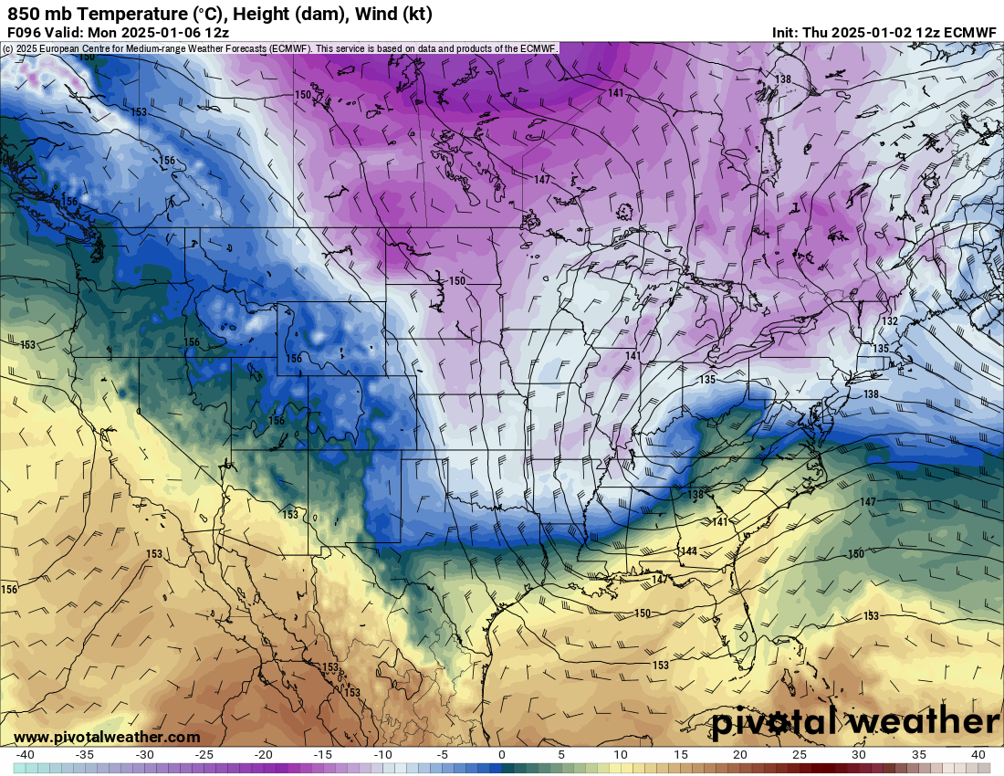
Check out this map @brooklynwx99 posted in the nyc forum: Notice the 18z euro is a bit faster with the s/w, allowing for more interaction with the tpv. Also notice the height lines press further south over the eastern lakes SE canada. I think this is why it’s colder and snowier for DC than the other 12z/18z models, and at the same time pushing the precip shield further north and east, allowing NJ/NYC to get in on some of the action. Something to monitor until game time. If we see this again at 0z, it’s probably onto something.
-
Nor over mine, but I’ve been looking past this one tbh
-
Just means our window of chances is getting extended
-
Still in the game for a MECS!
-
Maybe this is a different case, or the globals are better now, but I’ve always thought that the globals tend to under-predict CAD and we hold onto snow a little longer. Especially with strong confluence to the NE of us (even with it trending more east, it’s still strong)
-
I agree. For it to be sleet, it should nose out to -1
-
No real north trend, but possible dry slot then coastal enhancement on the backside. Too soon to nail down all the details where exactly these things are going to happen
-
GFS looks like a bowling ball at 72 Souther at 78
-
I can't show that, not allowed. But I can tell you it looks great for DC metro. haha , ninja'ed by NorthArlington101
-
What about it?