Terpeast
-
Posts
5,326 -
Joined
-
Last visited
Content Type
Profiles
Blogs
Forums
American Weather
Media Demo
Store
Gallery
Everything posted by Terpeast
-
2023 Mid-Atlantic Severe Wx Thread (General Discussion)
Terpeast replied to Kmlwx's topic in Mid Atlantic
7.6 C/km is no slouch. Especially now that the cloud deck has already cleared- 2,785 replies
-
- 1
-

-
- severe
- thunderstorms
- (and 3 more)
-
87/71, sunny with clouds thinning out and 5 minutes later: 88/72. Juicy
-
2023 Mid-Atlantic Severe Wx Thread (General Discussion)
Terpeast replied to Kmlwx's topic in Mid Atlantic
Sun is back out. 71 dewpoint. Game on!- 2,785 replies
-
- 1
-
-
- severe
- thunderstorms
- (and 3 more)
-
2023 Mid-Atlantic Severe Wx Thread (General Discussion)
Terpeast replied to Kmlwx's topic in Mid Atlantic
Clouds starting to thin out a bit. Dews back up to 70- 2,785 replies
-
- 1
-
-
- severe
- thunderstorms
- (and 3 more)
-
Dews momentarily dropped to 66, but faught back up to 68. North of M-D line got watched. Nothing yet down here, but should be soon. Something popping up SW of cumberland
-
2023 Mid-Atlantic Severe Wx Thread (General Discussion)
Terpeast replied to Kmlwx's topic in Mid Atlantic
Drier air starting to mix down. Dews down to 67 now -
Thicker high clouds. 85/70
-
84 already, Some cirrus cover rolling in, but dews staying at around 70
-
2023 Mid-Atlantic Severe Wx Thread (General Discussion)
Terpeast replied to Kmlwx's topic in Mid Atlantic
Cirrus clouds are back. I understand why some are having doubts on today. Really tough situation for forecasters. If they portray this as just another summer day with a chance of tstorms and they overperform, they're going to get hell for underplaying it. OTOH they talk up the severe and it underperforms, they'll be seen as the boy who cried wolf... and lives might get lost the next time a severe event actually verifies. -
To me, that means east based is off the table for now. Nino3.4 probably still has some warming to do and pull that forcing a smudge east over the dateline. Then we’ll be in good shape for winter if that pans out.
-
2023 Mid-Atlantic Severe Wx Thread (General Discussion)
Terpeast replied to Kmlwx's topic in Mid Atlantic
79/72 ashburn. Full sun. Dews have gone up. Setup seems good so far -
2023 Mid-Atlantic Severe Wx Thread (General Discussion)
Terpeast replied to Kmlwx's topic in Mid Atlantic
Getting sunnier, dews in upper 60s. If we get gapped today, it won’t be because of early cloudiness -
Basin wide
-
Steamy outside. Sharp contrast to the last few weeks
-
Some might dismiss or scoff at this, but I wouldn’t. I have an eye on the QBO possibly turning negative for the winter. The only fly in the ointment is high/rising solar, but I don’t know how much weight that holds.
-
0.61” from both yesterday and today so far. 1.25” on the month
-
Both things can be true. We can get 2 warm months and 1 cold month, average warm overall, and still get a productive winter.
-
Stready rain, almost 0.5”. 61
-
Good question - cpc doesn’t make that clear in their weekly enso reports. But I found this:

-
Concur with radar not matching ground truth. Prob extrapolated from other radar sites since lwx is down
-
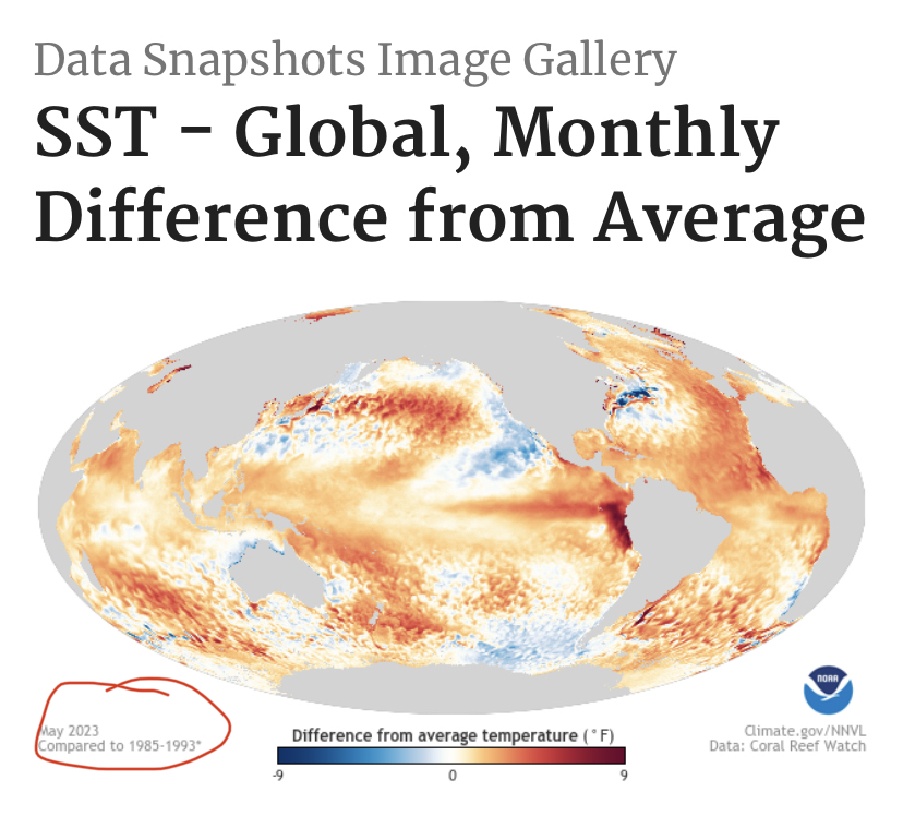
Have you seen a recent sst map? and the forecasts? Orange and red everywhere, except for a few small blue spots. Frankly, it tells me everything I need to know about this issue.
-
But we will all do it anyway. Because… that’s how we roll!
-
Otoh, I have a working hypothesis that CC will lead to more la nina years and even when we’re in enso neutral or weak ninos, the atmosphere will act more like a nina because of zonal sst gradients between nino 3.4 and the WPAC warm pool keeping the mjo stuck in 4-6, and weakening meridional temp gradients around the equator affecting the hadley cell and pacific jet. Before this flip to nino, I was concerned that we’d find ourselves in a permanent and irreversible la nina because the mid latitude (and WPAC warm pool) ssts have been warming faster than the equatorial pacific.
-
Got a nice thundershower here.
-
Technically, we’re not in a strong nino yet. But valid question about whether the typical nino effects apply post 2016.