Terpeast
-
Posts
5,326 -
Joined
-
Last visited
Content Type
Profiles
Blogs
Forums
American Weather
Media Demo
Store
Gallery
Everything posted by Terpeast
-
I may have called the nino peak too early, definitely coming in higher now than October. At least this will shift the forcing east of the dateline, with cooling over the MC. (Yes we’re seeing the MC burp a little bit, but I don’t see that lasting) PDO remains a bit stubborn, but I stand by my assessment that nino will win overall.
-
Temp was 38 when rain started falling. 2 months later, this would be a thump to rain event
-
Yeah, he’ll be fine. He’s turning over a new leaf. Right, Ji?
- 1,295 replies
-
- 3
-

-
- wishcasting
- almost winter
- (and 1 more)
-
We need this
-
And if we're going to get MC forcing or 4-6 MJO, I'd rather get that now into mid-Dec, so then it circles over into 7-8-1-2 and sets us up nicely. Plus that second wind by this nino should also overpower the -PDO
-
I thought you know better than not to feed the trolls...and Twitter is full of em
-
36/30 (not that I'm expecting anything)
-
Looks cold and dry and transient though. Still all over the place from run to run
-
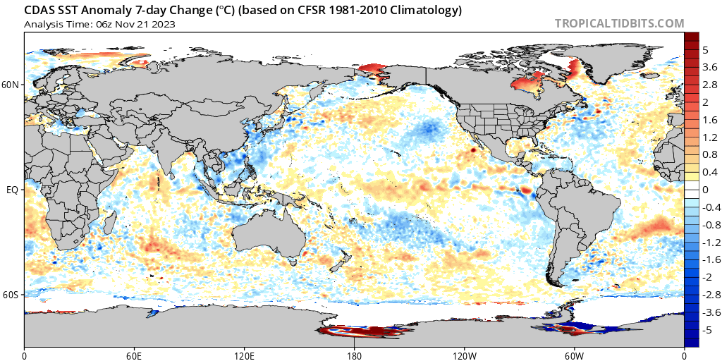
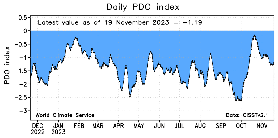
PDO appears to be bottoming out again locally. New aleutian low taking place in the short term with strong ridging over the west. I wouldn’t be surprised to see the PDO come back up, and the recent nino3.4 rise will also support the PDO rise. (I may have been wrong about the nino peaking in November, but it’s too soon to tell whether this is a OND peak or a NDJ peak)
-
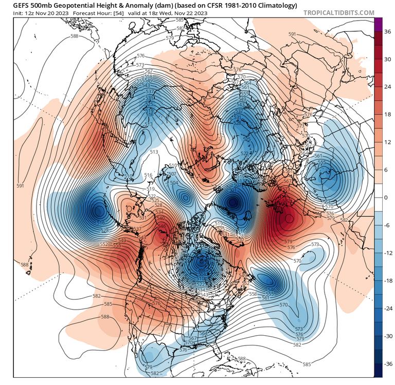
Nice. Wonder how that’ll evolve. Maybe that EC trough turns into a 50/50 while the wave off the west coast undercuts the pna to give us an overrunning event. But that’s wishcasting at this range.
- 1,295 replies
-
- 2
-
-
- wishcasting
- almost winter
- (and 1 more)
-
I wonder if the 2-3.9” gap is due to sampling, or is actually an artifact of a front-loaded La Nina winter.
-
I wonder what the results will look like if the BWI dataset is used instead. Much longer record than IAD and better siting than DCA. I could do it, but I’m researched-out after doing my outlook. Even thinking next time I do an outlook or project future winters, I’ll use BWI data instead. Snowfall is so similar between BWI and IAD, these two often can be interchanged
-
That’s a fair point and I appreciate it. Maybe it was not his intent, but what annoys me a bit is the practice of cherry-picking bits of data to prove (or attempt to prove) one’s point despite the presence of data that shows the contrary. Maybe I’m guilty of the same, so it’s a good exercise in being objective and keeping each other honest.
-
This wave was never going to be a cold storm track to begin with. It’s not “proof” that we’re still in a La Nina, which we are not in anymore. like 40/70 said, there’ll be ebb and flow between SE ridging and EC troughing even in a snowy winter.
-
That’s not a true SE ridge. On that same run, it only lasts for one day.
-
30.7 low
-
Nah, I think it’s just getting warmed up. Nino 3.4 is still going up with a recent wwb, and the STJ usually gets more active as the winter goes on. Of course it’ll wax and wane, so don’t be surprised to see warmer and drier periods mixed in.
- 1,295 replies
-
- 3
-
-
- wishcasting
- almost winter
- (and 1 more)
-
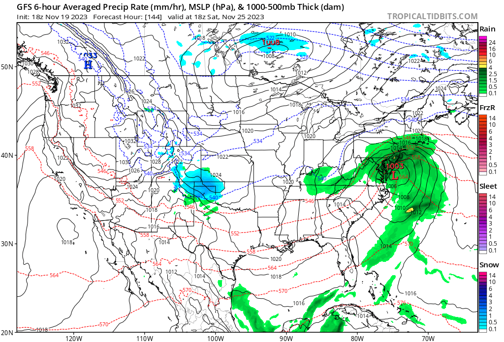
Wave #2 (D6) Yes it’s rain, and yes it’s still November… but if it were a month later, we’d be looking at 5-8” areawide.
- 1,295 replies
-
- 4
-
-
- wishcasting
- almost winter
- (and 1 more)
-
Its been dry in the MA/SE lately, but that’s about to change.

-
I wouldn’t worry about the -PDO because I think it has bottomed out at only -1.3 instead of -2 to -2.5 troughs we’ve seen in the last 2 years. Besides we’ll see more troughing N of hawaii in the next two weeks as supported by most ensembles. To me that’s a sign that the PDO will rise, or at least decouple. The NOAA value is likely lagging.

-
Really??? I’m glad they still call it “experimental”, or they’re looking at a major credibility hit. (yeah, no I’m not buying what they’re selling)
-
I stand corrected on the exact amounts in your backyard, but my point is that had those storms not occurred at all, I’d be a lot more concerned.
- 1,295 replies
-
- 1
-
-
- wishcasting
- almost winter
- (and 1 more)
-
I have to agree with this. How we miss is important information. If we get multiple great tracks, but end up getting almost all rain (Feb 1987 adjusted to today’s climate, or full 97-98 seasons on repeat) - then that’s very bad news. Keep in mind I’m not just talking about one storm, but multiple (4-6x) storms in a single winter. Otoh, if NC gets crushed and we get a near miss (2018)… or @CAPE gets hit with 20” while we smoke cirrus (multiple times in the last 5-7 years), then we probably will need another nino to get our answer.
- 1,295 replies
-
- 4
-
-
- wishcasting
- almost winter
- (and 1 more)
-
32 low
-
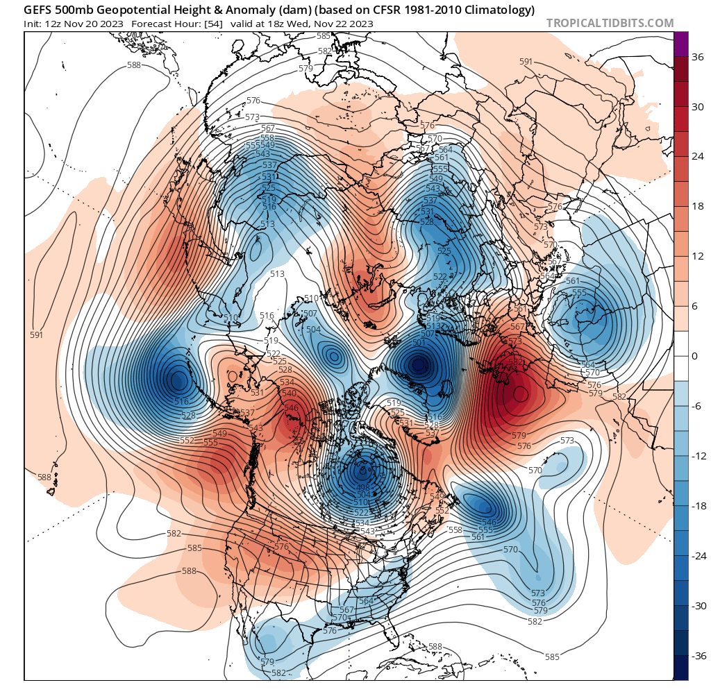
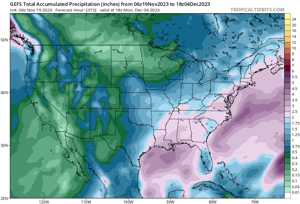
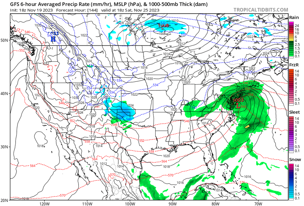
I’m not even looking for a snow threat at this point. It’s November. What I AM looking for is STJ activity, which is an important prerequisite for snow when it eventually gets colder. All Op runs and ensembles support busy STJ:

- 1,295 replies
-
- 22
-
-
- wishcasting
- almost winter
- (and 1 more)