BrianW
-
Posts
2,213 -
Joined
-
Last visited
Content Type
Profiles
Blogs
Forums
American Weather
Media Demo
Store
Gallery
Everything posted by BrianW
-
2025 Lawns & Gardens Thread. Making Lawns Great Again
BrianW replied to Damage In Tolland's topic in New England
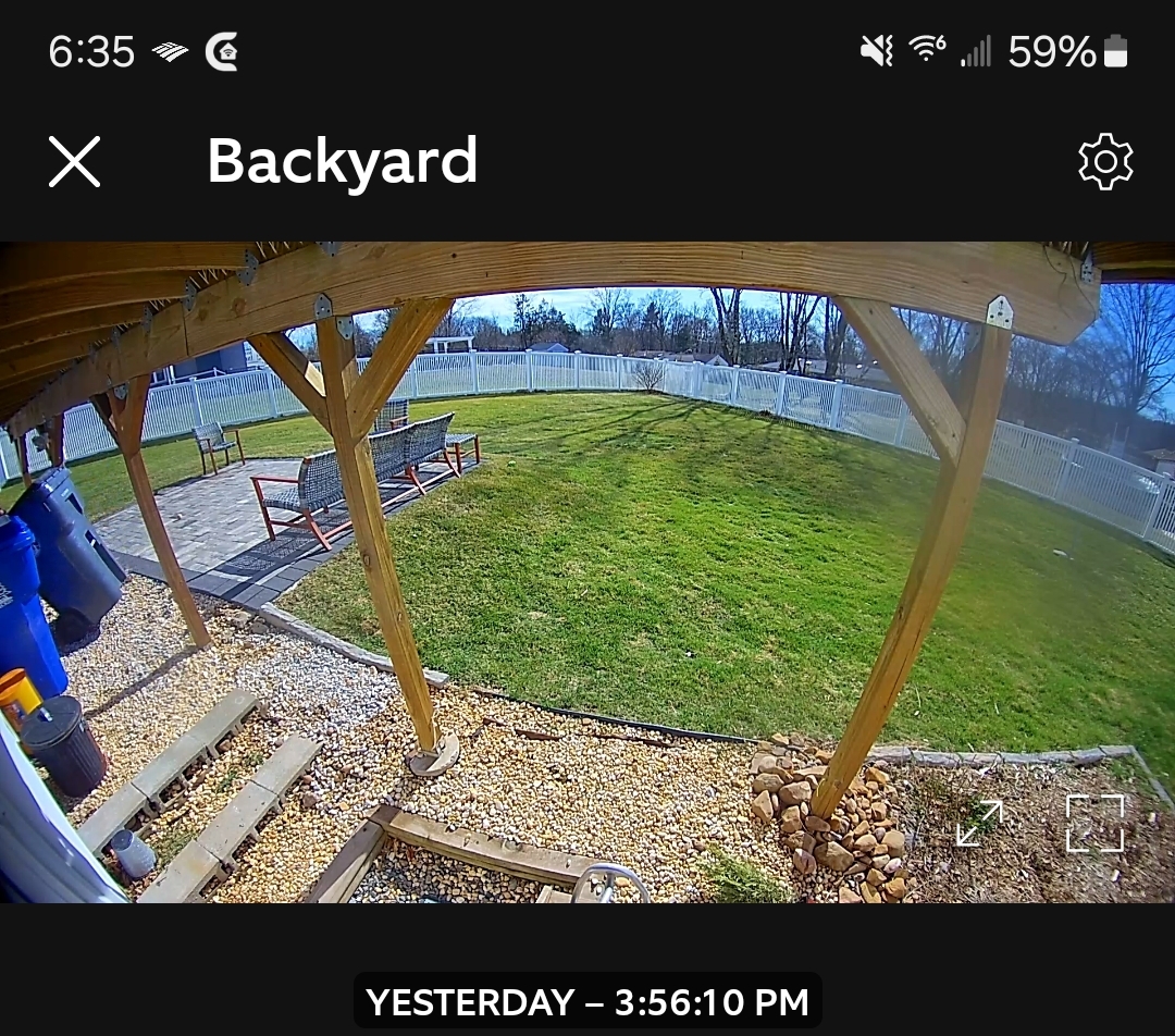
Did my 3rd cut of the season yesterday. I mow every 5 days.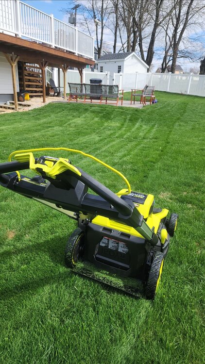
-
2025 Lawns & Gardens Thread. Making Lawns Great Again
BrianW replied to Damage In Tolland's topic in New England
Good timing.
-
+6.0 here at HVN. Haven't been below 32 here since March 10th.
.thumb.png.d6c5556b8cd62e43f9ecf7bcdf7ee407.png)
-
2025 Lawns & Gardens Thread. Making Lawns Great Again
BrianW replied to Damage In Tolland's topic in New England
Just realized the Purely Organics is manufactured and is based in Portsmouth NH. Nice to know I'm supporting a local New England company. Wonder who's beer grains they are using?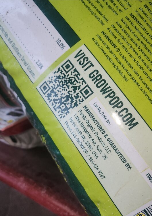
-
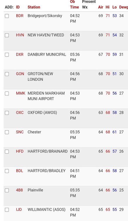
Beautiful day here on the shoreline. Even GON putting up a 70.
-
I'm more impressed with the 85 high at EWR and it's still 82 there right now. That's got to be record territory for March.
.thumb.png.d186b0277f643fda7216e1873bda421d.png)
-
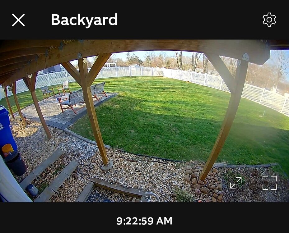
65 here and feels like a summer morning out there with some dews and full sun. Great day to cut the lawn.
-
Take a ride down to some brewery's in Milford/Stratford and enjoy some 80s, beer and green lawns.
-
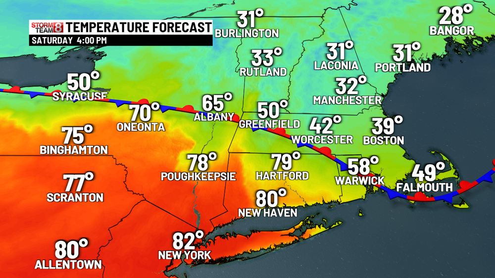
Yeah. Looks like a great day with some 80s. Latest HRRR guidance is slower with this frontal passage and so is even warmer, with 80 degree readings up into the Hudson Valley and 70s across nearly the entire rest of the area except for coastal SE CT and the far ern forks of Long Island.
-
Great day for the beach. Upton doesn't have the cold front coming through until 3-4. High confidence in temps making a run into the lower 80s for NE NJ and NYC and upper 70s for surrounding metro areas of LoHud, NW LI and SW CT.
-
2025 Lawns & Gardens Thread. Making Lawns Great Again
BrianW replied to Damage In Tolland's topic in New England
You might need a truckload of topsoil if you want grass. My neighbor had an inground pool put in and when they regraded the yard it was all crappy red soil that nothing would grow in. He had to get a few trucks of good topsoil in. -
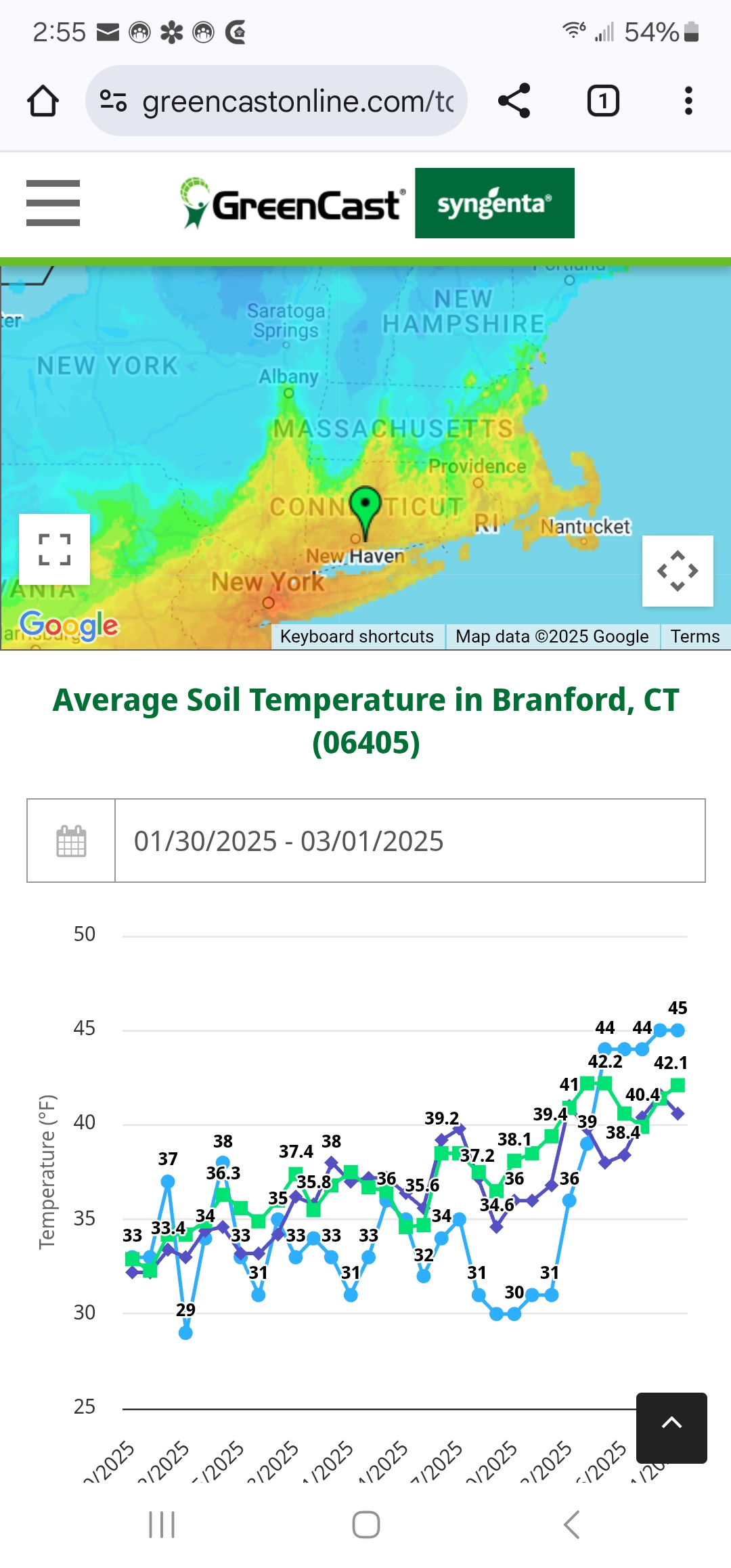
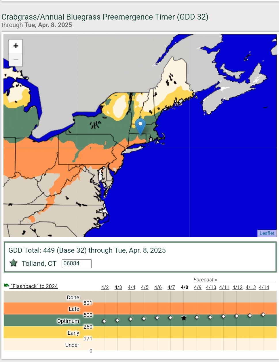
For southern CT/Upton. DXR +6.1 HVN +5 BDR +4 GON + 2.3 https://www.weather.gov/wrh/Climate?wfo=okx
-
2025 Lawns & Gardens Thread. Making Lawns Great Again
BrianW replied to Damage In Tolland's topic in New England
This is what I use on my organic lawn. Ive had really really good results with the Purely Organics fertilizer from home depot. It's made from waste distillery grains. https://www.homedepot.com/p/Purely-Organic-Products-25-lb-Dry-Lawn-Food-Fertilizer-LFJRDK1/204279747 For weeds I have had good look with Tenacity which is all natural and derived from the bottle brush plant. Tenacity herbicide can be used for pre- and post-emergence control of more than 46 broadleaf weed and grass species. Its active ingredient, mesotrione, is based on a naturally occurring compound produced by the bottlebrush plant (Callistemon citrinus) that inhibits photosynthesis in susceptible plant species. It is absorbed by plants through the roots, shoots and leaves and distributed throughout the plant by both xylem and phloem translocation. Active Ingredient(s): Mesotrione
-
2025 Lawns & Gardens Thread. Making Lawns Great Again
BrianW replied to Damage In Tolland's topic in New England
Really greened up here the last week. First cut probably coming up this weekend.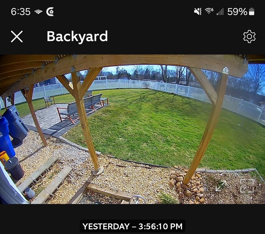
-
14th Lawn and Garden Thread P Allen Smith 2024
BrianW replied to Damage In Tolland's topic in New England
Lawns really starting to green up here. Dropping my fertilizert this week.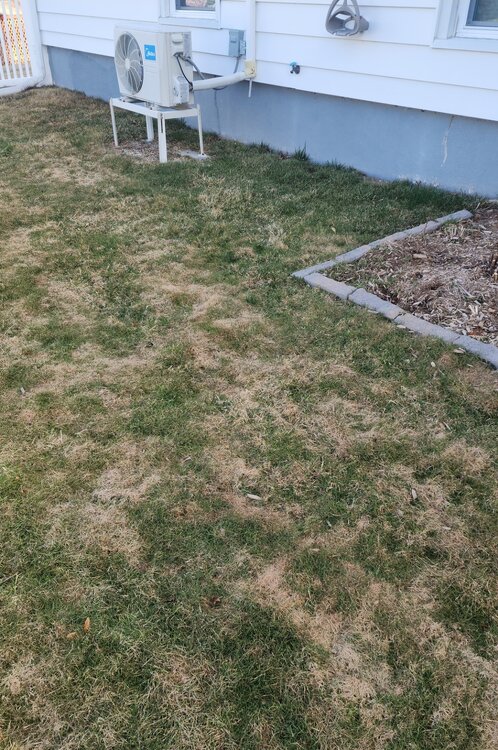
-
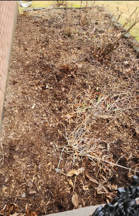
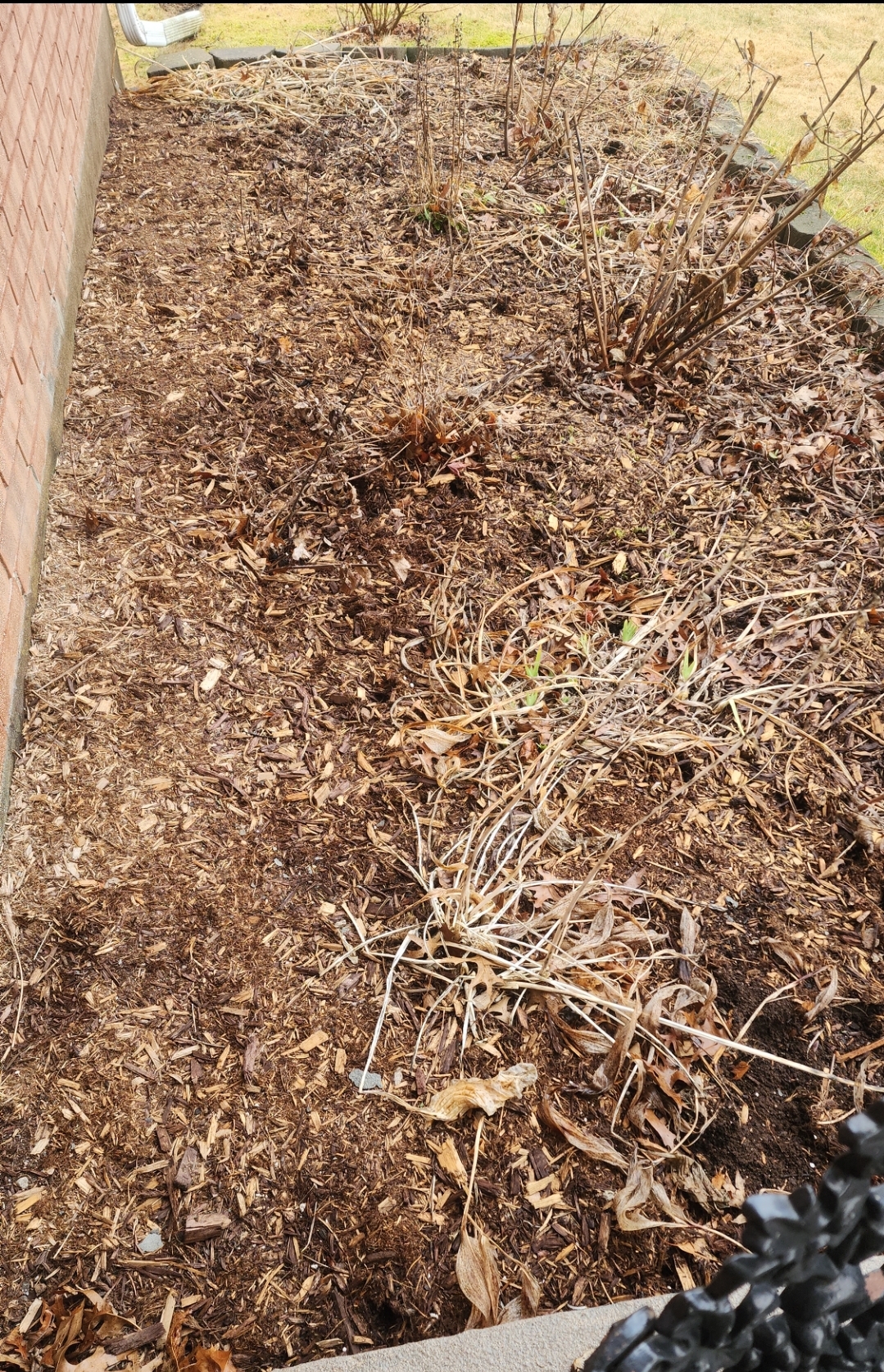
Lots of stuff sprouting in the beds here and the lawn is really greening up.
-
+1.6 for HVN.
.thumb.png.ace75b2e1cb59948372a5ecc88ecdacf.png)
-
It's full on spring down here on the shoreline. Daffodils, crocus and skunk cabbage are sprouting.
-
New England Winter 2024-25 Bantering, Whining, and Sobbing Thread
BrianW replied to klw's topic in New England
Recent update to the most northen palm tree on the east coast.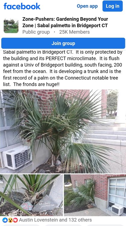
-
62 here and Daffodils,crocus, and swamp cabbage is sprouting... Time to fire up the lawn thread...

-
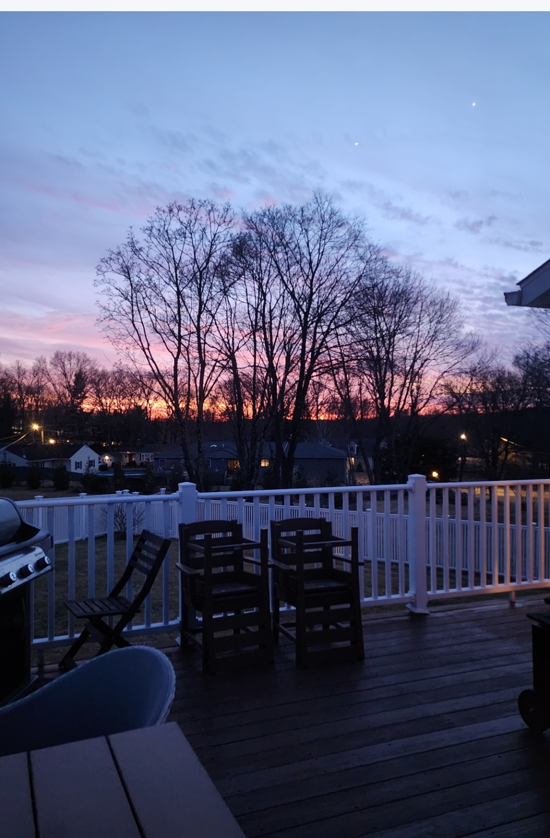
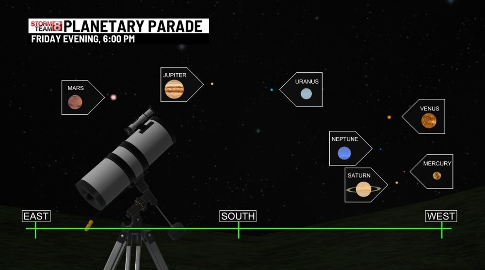
Anyone else catch the planetary parade? Clear here with a nice sunset and view of mars and Jupiter.

-
New England Winter 2024-25 Bantering, Whining, and Sobbing Thread
BrianW replied to klw's topic in New England
I remember awhile back they were trimming along 395 in CT. They had like an insane 18 wheeler size chipper that was just shredding whole large trees into the woods. Seemed like an absolute waste. -
Saw some daffodils popping on Branford point yesterday. It's coming.
-
No better way than heating your house all day for free directly from the sun with zero work, combustion, or carbon emissions. Here are my 2 high efficiency mini splits running non-stop all day yesterday while being powered directly from the sun.
-
Rough drive home from VT with whiteout conditions from the wind on 103. 91 was chunks of ice flying off cars and truck. Heaviest icing on trees looked to be around Northampton and Meriden.


.png.17ec403d776abfebbebcd0a7618ae737.png)


.png.92d53cb92e7a7164f63a1c66b8c71e04.png)


.png.8c65de50a01fd3436c1210db6c038da9.png)