

tavwtby
-
Posts
2,440 -
Joined
-
Last visited
Content Type
Profiles
Blogs
Forums
American Weather
Media Demo
Store
Gallery
Everything posted by tavwtby
-
yeah, I just heard the plow go by on 8, seriously it's barely covered
-
is that weenie mt tolland??
-
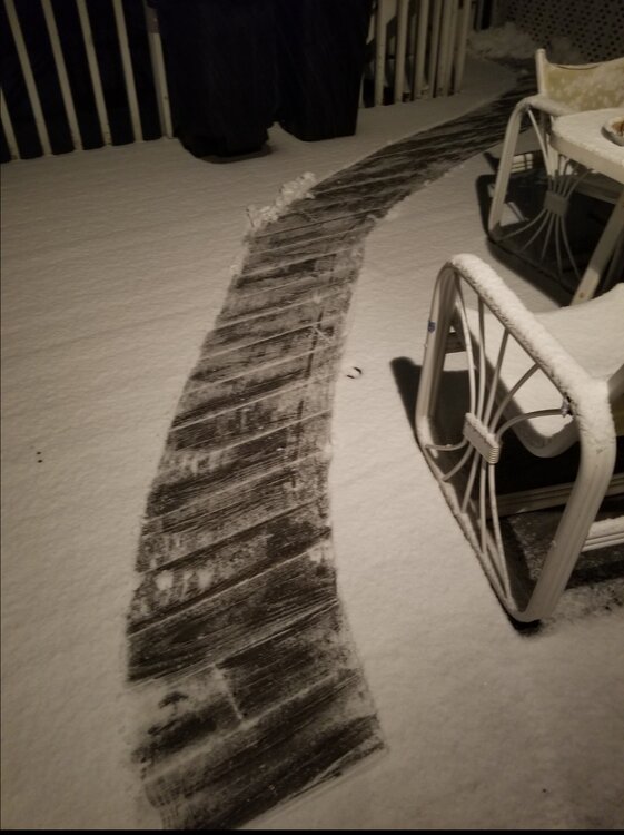
not sure if this pic does any justice, but...

-
absolutely pouring snow right now, this was 10 minutes ago, over 1/2" already and under 1/4mi vis, nice winds too
-
yeah, I'm impressed how hard it came in and stayed if not gotten heavier... closing on 1/2" on the board, just coating on roads and driveway
-
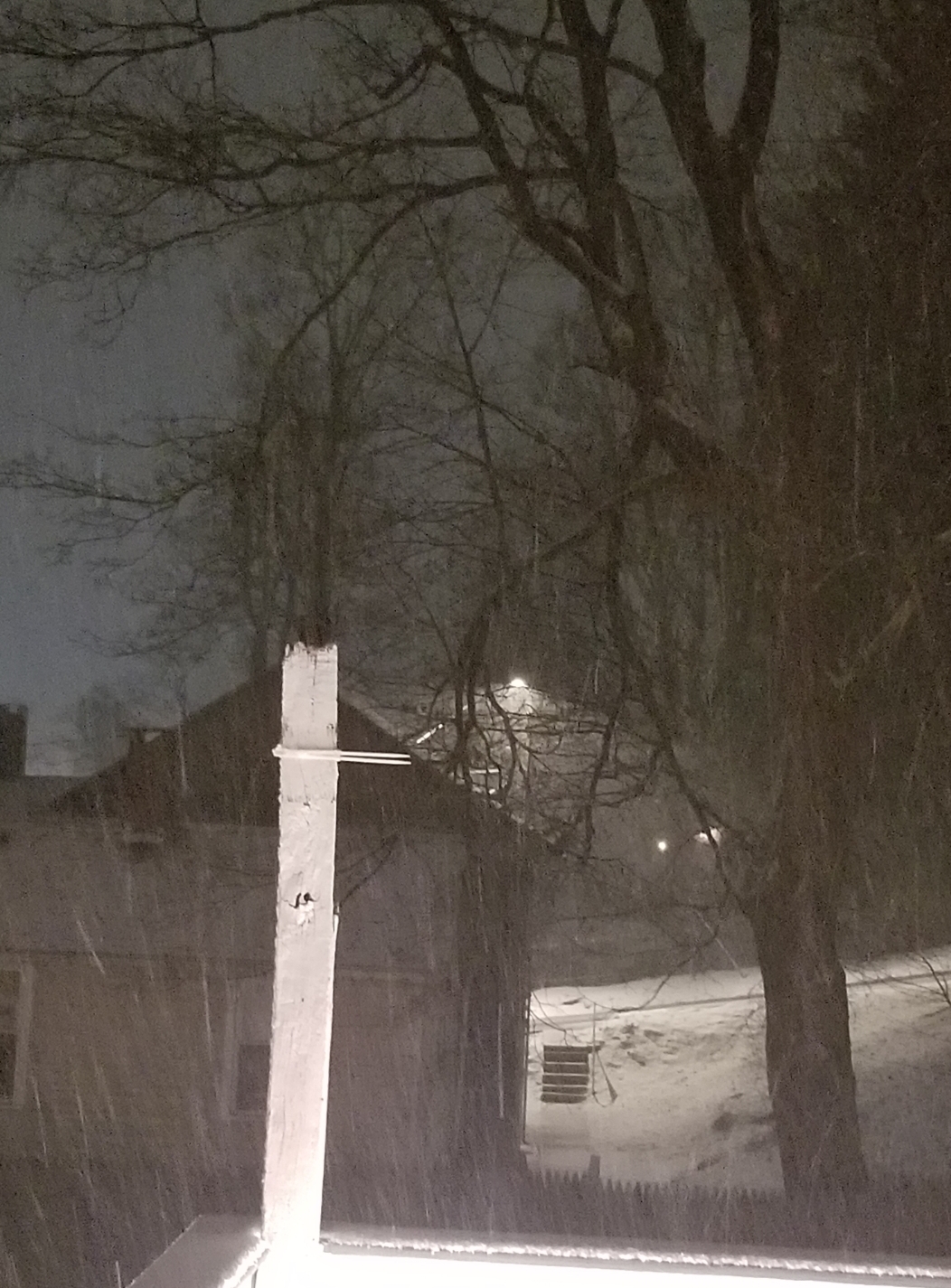
almost on the nose with 830...vis down to just over 1/4 here atm, nice growth too, and everything coated, except roads
-
some nice looking returns downstream, looking like it's filling in also, decent breeze here too, 11, gusting near 20 in the last hour
-
ALY had this area starting between 6-8, later further N and E...
-
ripping pretty good here now, starting to stick to the driveway, hope yet...vis just over 1/2mi, if we can pound 1/4mi with good growth here for a few hours, we should be ok to at least hit 4".
-
 38/22 now ..felt the first drop of something, we gon start an obs thread, or just post em here?
 -
apparently snowing over head here, nothing falling yet, 38/20, wetbulb around 28...
-
ALY afternoon AFD suggested the 700 warm tongue gets as far north as the VT/MA border with mostly sleet, and ZR for my hood up to maybe PIT, I'll take pingers, I loathe ZR though
-
man, can I buy 60 miles! always amazed me just how different the weather can be in the northeast, only a few miles can determine a foot or 4" of snow, minus the big region wide KU events that get every in on the goods. Really noticed just how much when I moved to Winsted from Waterbury, avg like 30" more a year, and Norfolk probably gets a good 10" more than I, and I can walk there in about an hour or so... crazy
-
meh for my area, nice SVT and north of ALY though, should cash nicely in up there
.thumb.jpg.c673d1511cf530052350a8ab2e97eb8d.jpg)
-
thanks Will, I've never really dug into how the sounding plots really work, suppose I should get into it, useful info.what determines where the DGZ is, is it always at the same level, or does it change based on the lift, and dynamics of the levels? sorry for the elementary questions, just trying to get a grip on what I see.
-
I've been wondering same... had me with about 10" leading up to yesterday where it began dropping now at 5".
-
I've always struggled trying to decipher soundings, don't we want the dgz to be around the 700mb level for best snow growth? and does the temp line go up to the right or left? tia for the lesson
-
probably best this is happening overnight, honestly if it was during the day it'd probably be rain, only good thing I see until this starts to wrap around close, by that time though I think it's too far east, hopefully I'm wrong.
-
was just looking through some old pics with my son who's now 11, think it was the winter of 13-14, could have been the next year, but man did we have some massive man size snow piles on the side of the driveway, taller than I, with me and him trying to make an igloo, hopefully next year we can get back to that type of pack
-
gonna be hard to overcome this warm antecedent airmass, we're close to 45 with now muted sun, but we'll see what happens, expectations not high with this one...
-
man we gust tonight, out of nowhere...40+ gusts
-
still sticking with 4-6" in NWCT, with some higher amounts N and NW of my immediate area, unless we happpen to get in on some banding or the CCB good, which may be too late in developement for my area, but look good for ORH over to BOS, but temps marginal still in SNE.
-
think my area has a shot at staying all frozen through Sat afternoon?
-
you can see a nice little axis from about Newport up towards NAdams, where that good early banding set up, and I was on the bottom of that here, too bad that didn't rotate and pivot through the area
-
looking at the reports coming in, a general 3-6 with lollies looks like it, radar filling in west, but doubt that amounts to much during the day with marginal temps now


.jpg.2473943cfe162cd098bd2272b68ffad8.jpg)
