

pondo1000
-
Posts
1,742 -
Joined
-
Last visited
Content Type
Profiles
Blogs
Forums
American Weather
Media Demo
Store
Gallery
Posts posted by pondo1000
-
-
Absolutely ripping right now with huge flakes!!!
-
 1
1
-
-
We just hit a foot!
-
3
-
-
Looks like some nice banding setting up. It’s pound town right now in Powell!
-
8” here in Powell
-
2
-
-
Snowing in Powell
-
Snowing in Marysville according to a friend.
-
I am not a big fan of weather apps, but thought it was funny that 11 days ago, TWC app had 11-16 inches of snow for our area. I know this b/c I was traveling & my wife took pics of the forecast & texted them to me. It of course lost that look for a while.
-
4 minutes ago, pondo1000 said:
There may have been one of 10+ since then but it wasn’t memorable.
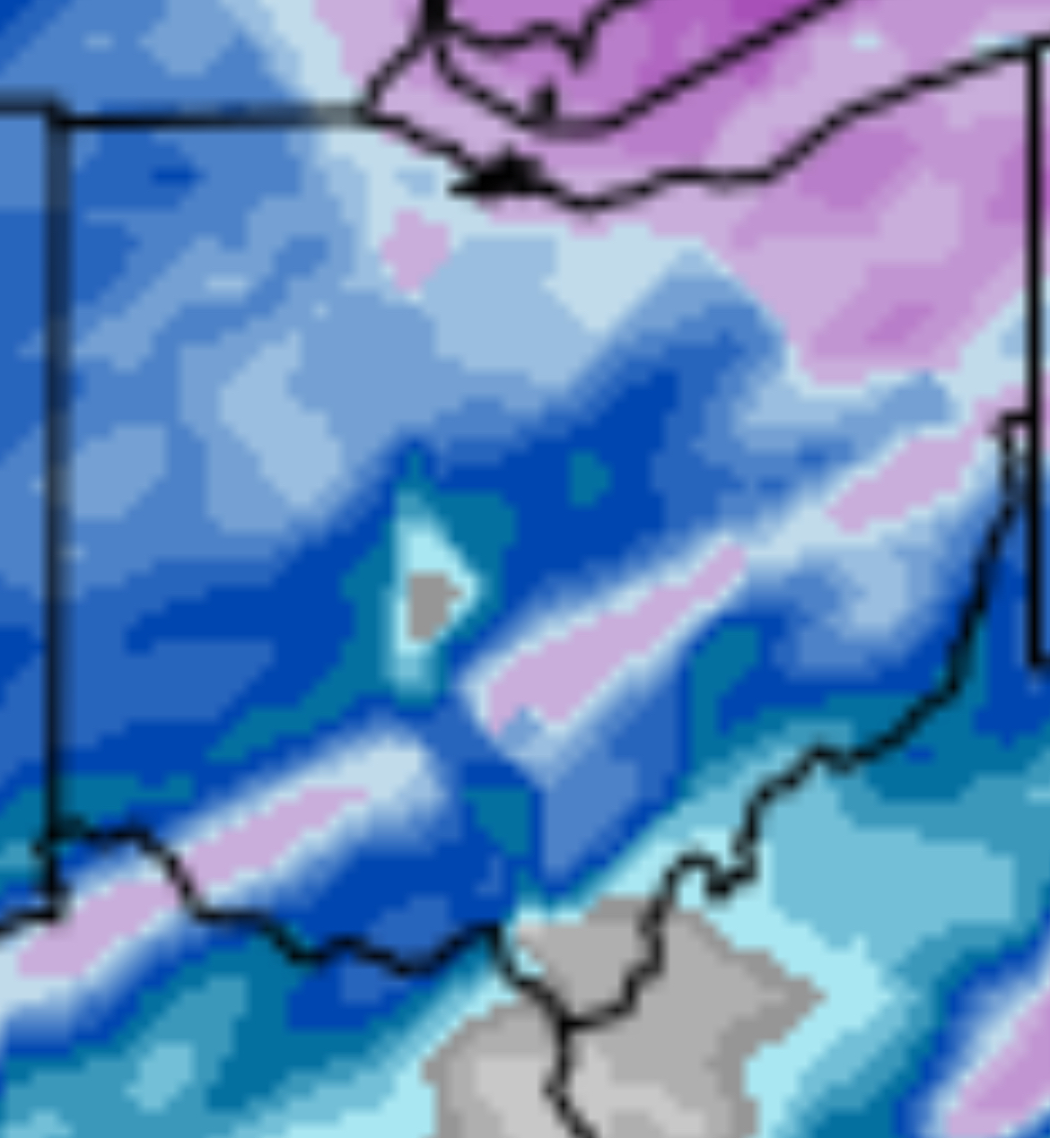
Found this posted by Gelber (who BTW, is going conservative right now of 7-10 for central Ohio):
The last time the Columbus area had upwards of 8-10" of snow was conincidentally Jan. 25-26 and Feb. 3-4, 2014, in the frigid winter remembered for a polar vortex visit.
-
7 minutes ago, buckeye said:
Yea I was trying to think of our last 10”+ snowstorm. 18 years, sheesh
There may have been one of 10+ since then but it wasn’t memorable.
-
2 minutes ago, buckeye said:
Looks like last minute trends are slightly nudging the heavy axis a little more north. Seeing more outputs of 12” for cmh.
Looking like our first legit big dog since?Since ‘08! Let’s go!!! That was in March too so it was gone in like 3 days.
-
1
-
 1
1
-
-
30 minutes ago, buckeye said:
so how's the ohio crowd feeling now that models have all held together for a widespread 8-12 incher across Central Ohio, 36 hours out?
What if any changes do you think might happen between now and during the storm?
For me, I have zero worries of mixing and actually wouldn't mind a little bit stronger push north. Biggest concern is the dry air pushing more than the models are forecasting and losing some inches with the initial overrunning because of that. I think what will be telling is how much of a virga storm we get Saturday afternoon/evening. I can see a scenario waking up early Sunday morning with pixie dust and a wispy dusting on the ground and everyone freaking out that it's a bust....even though the main slug comes in Sunday morning into evening with the low. If we can score big on the initial overrunning than it's definitely game on for 12".
No matter what happens it's pretty much a sure bet we break that 6" seal...finally...and we actually get to keep it for awhile instead of the usual 2 days.
Excited but trying not to get too excited b/c so easy to get burned! LOL
I do think to get 8-12 we’re gonna need to do really well with the main event Sunday. That first slug is certain to be a lot of virga as the atmosphere will be drier than a popcorn fart! If we get some from that first round…….look out!!!
-
36 minutes ago, buckeye said:
welcome back, this is like a reunion. I'm not ready to invest in this one until after the 00z runs...that leaves about 36 hours to start. I'm banking on the assumption that models have improved enough in the last 20 years that we don't have to worry about another real time catastrophic failure, ie Feb 2007.
See what a good storm can do? Brings people together! I got my fingers & toes crossed that tonight’s runs don’t throw us a curveball.
-
1
-
-
Nice to finally have a big one to track here in central Ohio! Looking likely to have first Winter Storm Warning in years. My concern now is cold/dry air winning out & that precip shield getting shunted to the south. Not saying it won’t snow but big snow here still at risk. Ratios should be good but too cold & you get a pixy dust storm.
-
4.5 inches here in Powell next to the zoo.
-
3
-
-
Snow globe!!!! Go to bed with heavy rain & mud, then wake up to snow & white! Pretty outside!
-
-
Nobody…..Noooooo-body, does cold/dry or warm/wet winters better than we do around here.
-
 1
1
-
-
Bump (for shits & giggles)
-
Crazy to me that we can’t even score a clipper out of this pattern.
-
41 minutes ago, buckeye said:
Flurries finally
Radar really anemic
-
4 minutes ago, Crowbar said:
Think we’re just in a bad spot - no LE, and we need just the right path to get any good snows.
Feel like we do fairly well with clippers but those have allude us as well.
-
5 minutes ago, dilly84 said:
Dead for me. Be lucky to see 1" in Knox. CMH people getting anything yet or just virga?
Nada here in far southern DE county
-
I don’t know boys & girls, think the dry air wins out on this & Euro ends up right.
-
27 minutes ago, Crowbar said:
Curious if schools will open - wife teaches in Columbus and kids go to Olentangy.
Live in Olentangy SD too. You fart a flurry & kids are off! Columbus will be open I bet.

Let’s talk winter!! Ohio and surrounding states!! 24'-25'
in Lakes/Ohio Valley
Posted
13” here in Powell