hazwoper
-
Posts
3,492 -
Joined
-
Last visited
Content Type
Profiles
Blogs
Forums
American Weather
Media Demo
Store
Gallery
Everything posted by hazwoper
-
Damn! I’ll be at Stowe Thursday through Saturday. Thoughts on natural runs opening this weekend @powderfreak?
-
That’s only 1”
-
Roads caving in Hatfield
-
May just be interaction between the push of moisture from the low to the west interacting with the low level easterly flow.
-
Inverted trough setting up just west of 95 and through Philly?
-
Yup.....I guess its that time again. Hello all!
-
They’re closing tomorrow
-
Buddy is at 14’ elevation a few blocks off of the Peace River. Guessing he needs to GTFO?
-
Anyone have a good mapper program that shows storm surge forecasts? Friend of mine from HS is in Ounta Gouda and I am trying to convince he to GTFO. Could use some visuals to help.
-
"Observed" means they saw them visually.
-
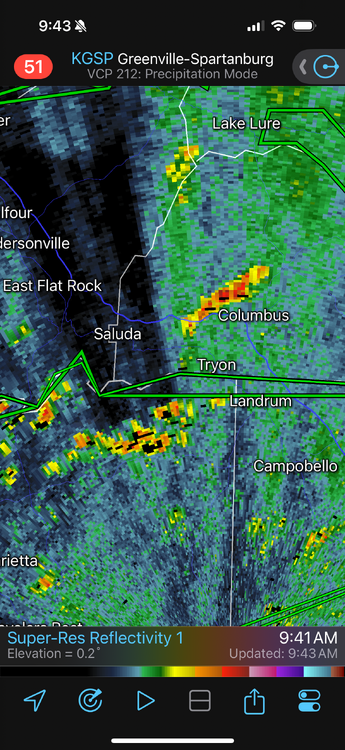
I wonder if those numbers are somehow being affected by the wind farms just to the NWof these high numbers. Certainly seems like they are which would like mean they are incorrect
-
Again……THIS^
-
Perry is 15 miles inland. Much worse directly on the coast I am sure. Tons of trees between coast and Perry for friction
-
Looks like LF at Keaton Beach.
-
It’s not LF at steinhatchee. It will be north of there. Adams Beach maybe
-
Clear west jog now. Tallahassee might be in trouble
-

E PA/NJ/DE Spring 2024 OBS/Discussion
hazwoper replied to Hurricane Agnes's topic in Philadelphia Region
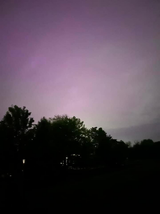
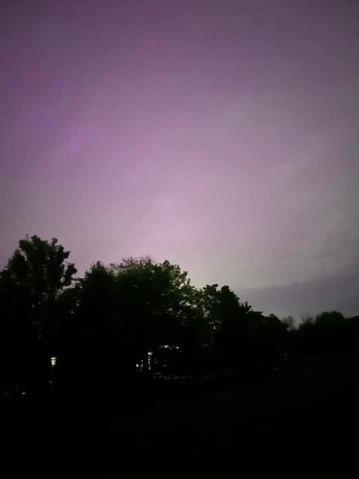
Son got this shot at 3am. Was visible too!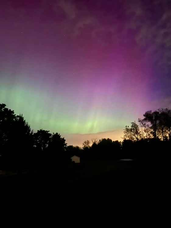
-
Bucks County. Wasn’t really visible with naked eye. Sky looked a bit different for sure. This was looking north.
- 1,600 replies
-
- 1
-

-
- spring
- cool temps
- (and 3 more)
-
-
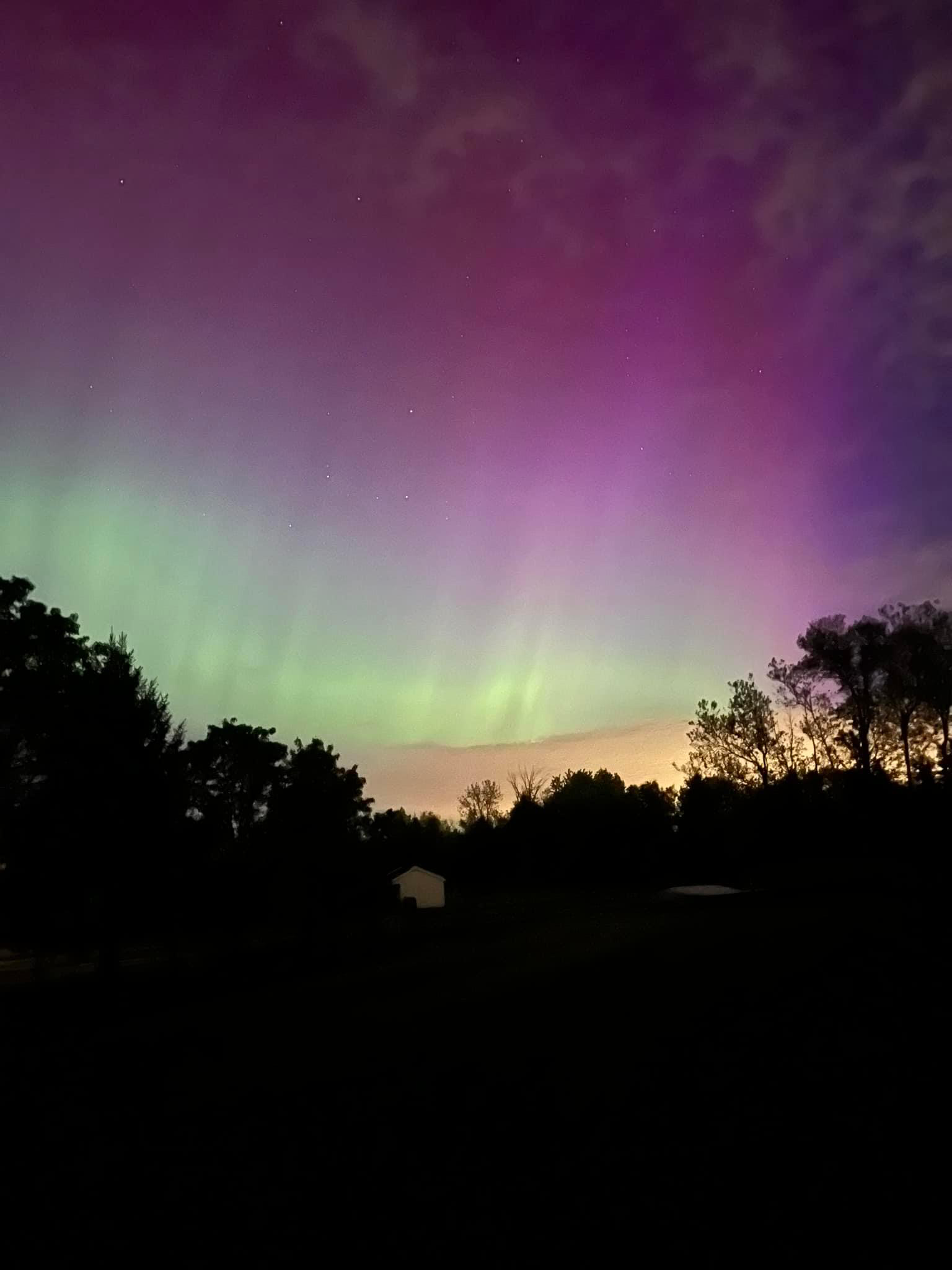
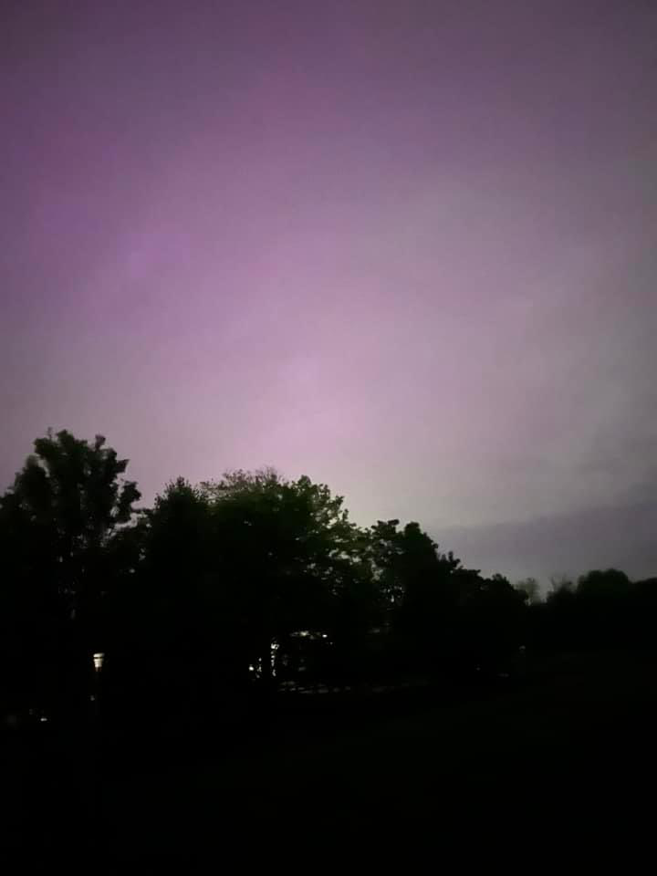
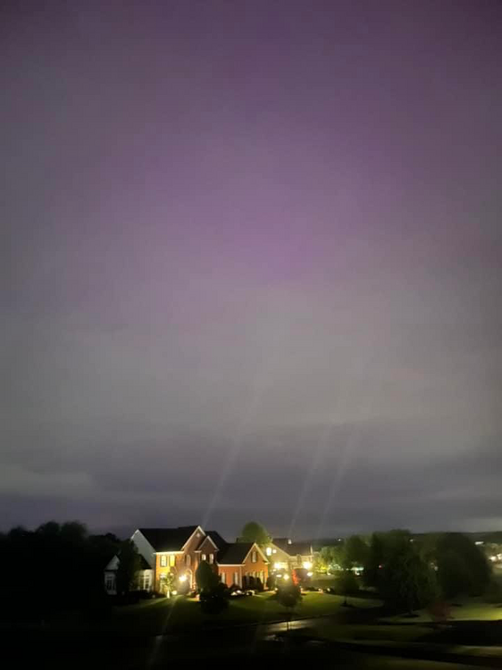
got these through the clouds here in SEPA an hour ago
-
E PA/NJ/DE Spring 2024 OBS/Discussion
hazwoper replied to Hurricane Agnes's topic in Philadelphia Region
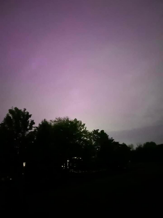
My son plans to be up. Told him to wake me if it looks good -
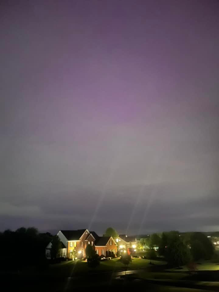
This one too
- 1,600 replies
-
- 6
-

-
- spring
- cool temps
- (and 3 more)
-
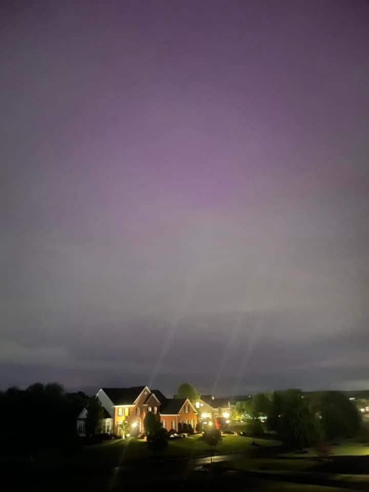
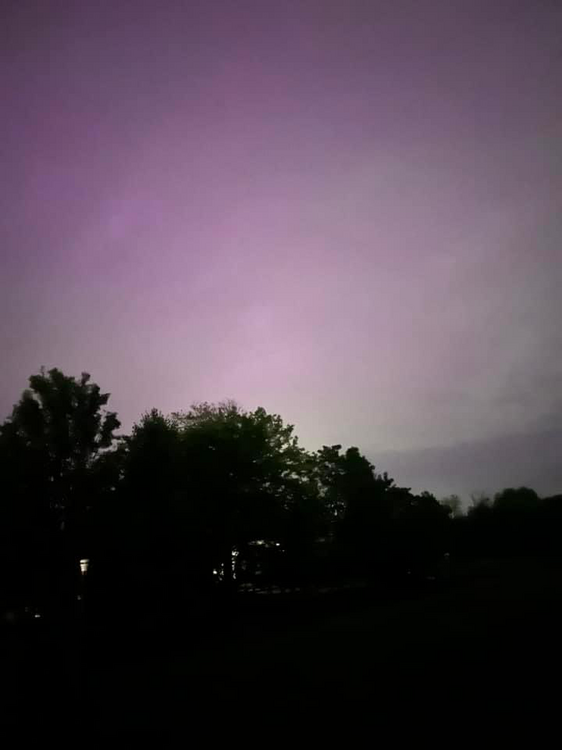
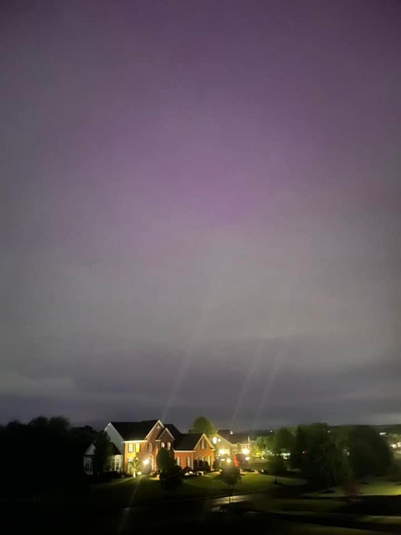
Bucks County PA an hour ago with iPhone through clouds
- 1,600 replies
-
- 4
-
-
- spring
- cool temps
- (and 3 more)
-
E PA/NJ/DE Spring 2024 OBS/Discussion
hazwoper replied to Hurricane Agnes's topic in Philadelphia Region
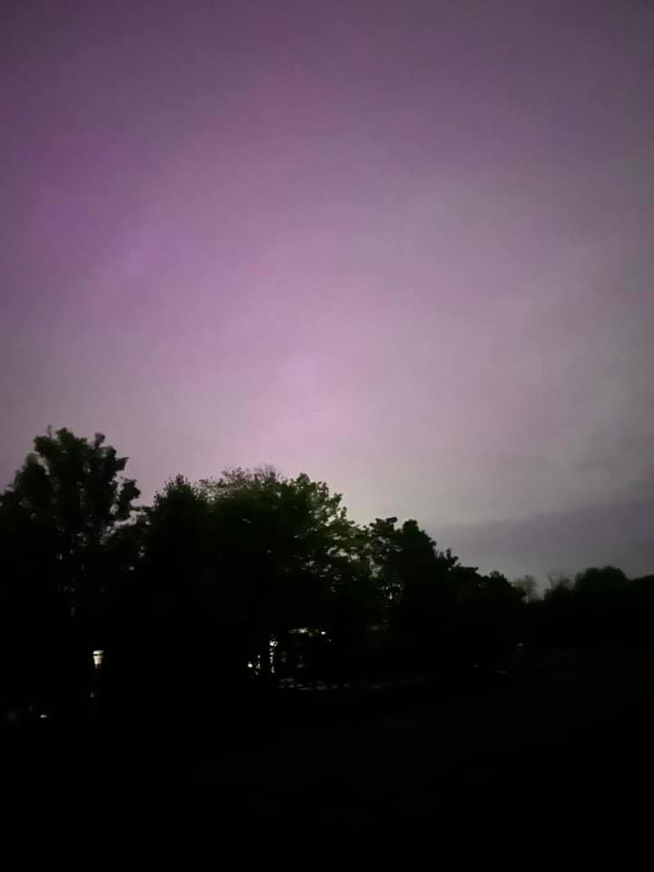
Correct. The iPhone with dark photos uses long exposure to get as much light as possible. This was the result. I will say though that the sky looked different at the time. Weird I’d say -
E PA/NJ/DE Spring 2024 OBS/Discussion
hazwoper replied to Hurricane Agnes's topic in Philadelphia Region
Imagine how strong it would have been here at that moment with no clouds. Jesus