

Baroclinic Zone
-
Posts
47,702 -
Joined
-
Last visited
Content Type
Profiles
Blogs
Forums
American Weather
Media Demo
Store
Gallery
Everything posted by Baroclinic Zone
-
So she’s started PT. Has PT homework she needs to do to work on back muscles. The surgical incision has just about healed up. She just finished her 1st 6wk summer semester class, Anatomy & Physiology I, starts Anatomy & Physiology II right after the 4th. Another 6wk compressed course.
-
Send that precip south to the fires. Sad story from Eagle Point.
-
Welcome to the club. Lawns have been toast here for a month.
-
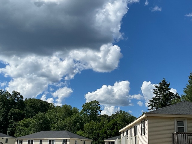
Sitting under the last part of New England still under the clouds.
-
Guessing around .75” here.
-
It’s raining men, hallelujah!
-
Another stellar summer day. Low 80s and low humidity. We take all day.
-
Gorgeous evening Wind has subsided from earlier.
-
Unless your pissing money away irrigating, lawns are toast here.
-
The lack of humidity has been great. Nice warm days and cooler nights. AC has been run sparingly.
-
Can we please keep bringing days like these. Just friggin epic. Cool nights and warm days.
-
Warm start to the day. Mid 80s already.
-
Closest Cocorahs station to my location showing on 2.15” of rain since May 1st. Arid.
-
Lol 71/61 here.
-
88-89F here. Not too bad with low humidity.
-
87F for high. Sitting at a comfy 75F now.
-
Brrrr 39F
-
They're coming.
-
Gorgeous out. Low 70s, dry with some overcast clouds.
-
Screw you. Got a Steiner for rain yesterday and minimal sun, so hoping today turns out better. Has started off great.
-

Anomalous Late Spring storm May 30 2026
Baroclinic Zone replied to HoarfrostHubb's topic in New England
Steiner here. Only about .15” of rain. -
Anomalous Late Spring storm May 30 2026
Baroclinic Zone replied to HoarfrostHubb's topic in New England
Who the eff wants this at the end of May. piss off -
Anomalous Late Spring storm May 30 2026
Baroclinic Zone replied to HoarfrostHubb's topic in New England
Stay safe everyone -
Anomalous Late Spring storm May 30 2026
Baroclinic Zone replied to HoarfrostHubb's topic in New England
Had some boomers last night and a bout of heavy downpours. Not much going on right now. -
Wait for sun to come out will soon be over.


