Dark Star
-
Posts
1,261 -
Joined
-
Last visited
Content Type
Profiles
Blogs
Forums
American Weather
Media Demo
Store
Gallery
Everything posted by Dark Star
-

Dec 16-17, 2019 snow-sleet glaze OBSERVATIONS ONLY
Dark Star replied to wdrag's topic in New York City Metro
Had a slight amount of sleet mixed in with drizzle yesterday afternoon around 2 PM. After that, it was all plain rain in central Union county NJ. -
thanks for the analysis!
-
Flurrying here also in Linden NJ (Tremley Pt.). There was a slight chance of snow showers predicted for last night (but not by the NWS).
-
As of 5 PM, Garwood in Central Union County NJ had received 1.5". I had stated that the storm for my area was for all intent was pretty much over. We then received an additional 1.0" overnight, but nothing of significance. (However, utilizing the measuring rules, I only received 2.0" of the white stuff.) At 5PM, the radar had begun to shrink. While some of the remaining precipitation shield remained intact (and eventually rotated through), there was no further development. I have yet to see a system begin to intensify, die out, and then re-intensify. Amazingly, the general forecasts for this storm were fairly close. At least I got out of work early.
-
Agreed. Jeff Beradelli always says that the devil is in the details. I wonder if anyone would care to dissect this event and choose the model that closest predicted this event 72, 48, and 24 hours out?
-
Seems like the precip shield is drying up? Appears to be 30-50 miles surrounding NYC, and that's it?
-
Observations of snow, sleet, freezing rain Sun-Tue Dec 1-2-early 3
Dark Star replied to wdrag's topic in New York City Metro
if the sun angle is an issue 20 days from the Winter Solstice, when is the sun angle NOT a factor? -
Observations of snow, sleet, freezing rain Sun-Tue Dec 1-2-early 3
Dark Star replied to wdrag's topic in New York City Metro
A brief period of sleet mixing in at 7:45AM in Linden NJ. -
Observations of snow, sleet, freezing rain Sun-Tue Dec 1-2-early 3
Dark Star replied to wdrag's topic in New York City Metro
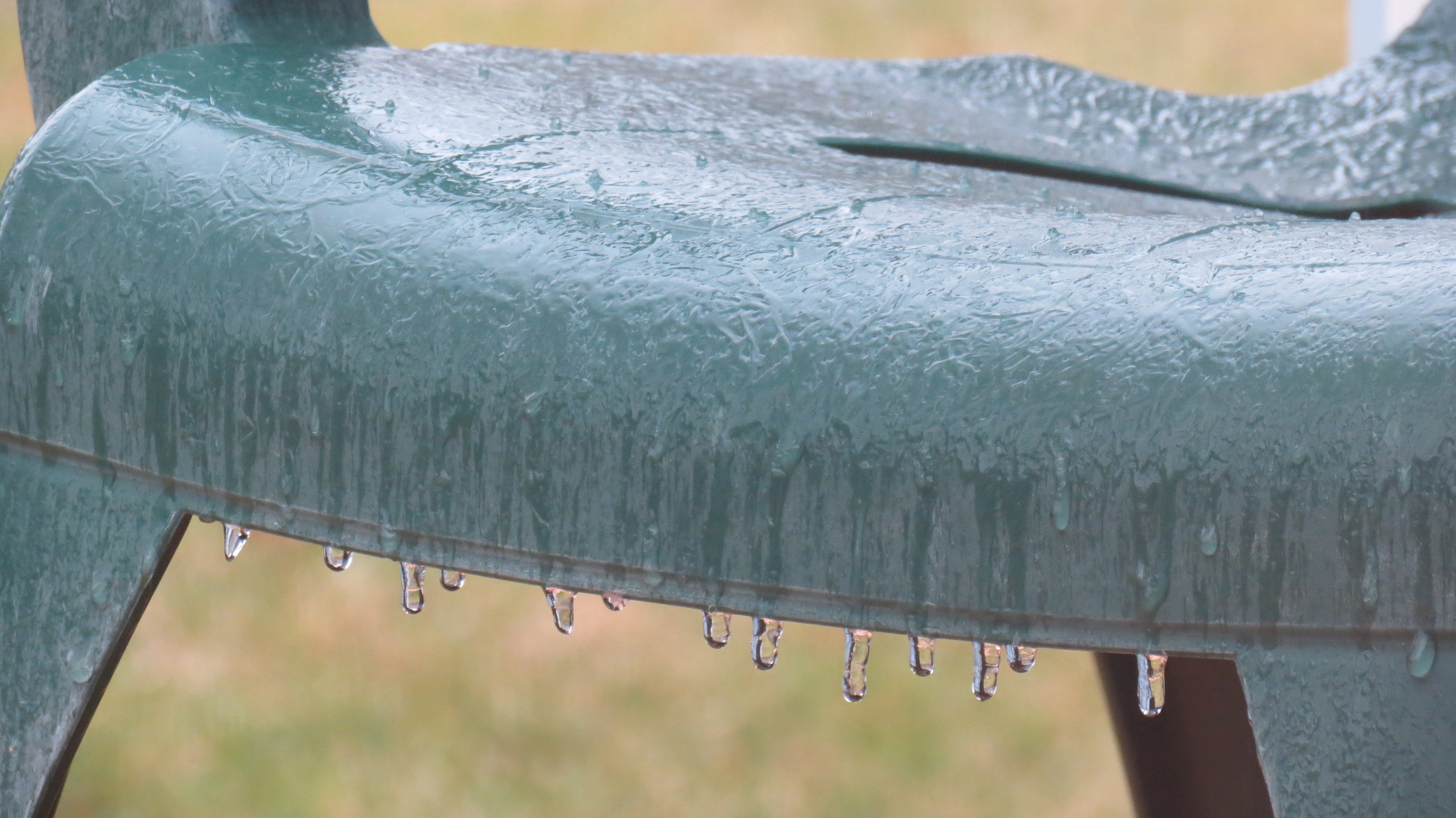
Light freezing rain, to sleet, back to freezing rain, now plain rain here in Garwood NJ (Central Union County) Tough sell for accumulating snow tomorrow?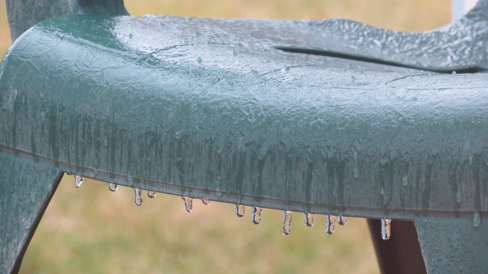
-
Could someone please bring the SACRUS "STORM TRACKING IMAGES" back onto page 1, preferably within the top 5 topics? I fear it will eventually get lost, and is a great tracking tool for now-casting.