Dark Star
-
Posts
1,261 -
Joined
-
Last visited
Content Type
Profiles
Blogs
Forums
American Weather
Media Demo
Store
Gallery
Everything posted by Dark Star
-
 I always say that the forecast should be determined no later than within 24 hours of the onset of precipitation. Otherwise, it really isn't a forecast. As Jeff Beradelli has taught me, the devil is in the details. In other words, the pieces of the puzzle are there in the forecasting tools, it's up to the forecaster to know which ones to use and which ones to discard.
- 3,762 replies
-
- 2
-

-
- heavy snow
- heavy rain
- (and 3 more)
-
I pulled mine out, but didn't use it. Story of my life...
- 3,762 replies
-
- 7
-

-
- heavy snow
- heavy rain
- (and 3 more)
-
Unfortunately the NWS eliminated the clear the board every 6 hours. If it stops accumulating and then melts, does that mean we measured nothing? I understand with a continuous heavy snowfall, not clearing the board measures the actual snow depth, compression and all. I'm okay with that. Otherwise you can "measure" 35" of what actually fell, and only have 26" on the ground (for example).
-
Melted snowflake thought to be detected in Linden around 12:45 PM. A little mixed precip looking to occur at 2PM.
-
Thought I heard some sleet mix in around 8:15 AM as a heavier line went through Linden NJ?
-
December 2020 General Discussions & Observations Thread
Dark Star replied to bluewave's topic in New York City Metro
Flurries here in Linden NJ at 8:30 AM. Thought I saw a flake in Garwood at 6 :15 AM, but figured it was just wishful thinking. -
December 2020 General Discussions & Observations Thread
Dark Star replied to bluewave's topic in New York City Metro
When we are at January 15th, and there is no tangible signs of colder weather progged, you can pretty much kiss winter goodbye. Otherwise, by the time a cool down would start, you have very little time left, unless a complete long term pattern change occurs. -
November 2020 General Discussions & Observations Thread
Dark Star replied to Rtd208's topic in New York City Metro
Exactly! -
remnants of zeta and potential first flakes for some areas
Dark Star replied to forkyfork's topic in New York City Metro
I would have guessed the second storm would not have affected NYC Metro area due to the principle of the conservation of energy. However, at times, the atmosphere "does what it wants". Just a few wet flakes were struggling to work in here in Garwood, if you imagined really hard. -
remnants of zeta and potential first flakes for some areas
Dark Star replied to forkyfork's topic in New York City Metro
-
October 2020 General Discussions & Observations Thread
Dark Star replied to uofmiami's topic in New York City Metro
Almost... -
Bands of Heavy Rain along and se of I84 Sunday 4AM-11PM
Dark Star replied to wdrag's topic in New York City Metro
Sacrus' forecast would beg to differ, but I hope no more hot days... -
August 2020 General Discussions & Observations Thread
Dark Star replied to Rtd208's topic in New York City Metro
As a closed low opens up, much energy is released. This energy many times is translated to speed of movement of the system. I would think it would be difficult to project if this "opening of the closed low" would intensify the system for both precipitation amounts and wind. I always feel wind is over forecasted. -
I'll believe it when I see it. Looks to be a soaker. I wonder if any sport betting sites have the odds for the wind field? I'd like a piece of that action...
- 1,530 replies
-
- 6
-
-
-

-
- heavy rain
- rip current
- (and 1 more)
-
July 2020 General Discussions & Observations Thread
Dark Star replied to Rtd208's topic in New York City Metro
Are there any chemical plants left in northeast Jersey? There are no major industrial manufacturers left in Linden NJ, just a few relatively clean power producing plants, except fro the Bayway refinery. Newark is certainly paved over pretty good, like you said. -
May 2020 General Discussions & Observations Thread
Dark Star replied to Rtd208's topic in New York City Metro
86.5 degrees and humid in Garwood NJ, yech! -
May 2020 General Discussions & Observations Thread
Dark Star replied to Rtd208's topic in New York City Metro
It was beautiful today in Garwood NJ (central Union County). Close to one of the ten best, in my opinion. I guess you'll have your nice days in the summer, when the rest of us are all sweltering? -
35 degrees in Garwood, with ice on my patio table!
-
DEFINE YOUR WINTER EXPECTATIONS As I read through many of the differences and arguments in these threads, it seems there are as many definitions of winter as there are people posting. While I prefer cold and snowy, you can’t expect much more than “normal”. Please enter your definition of winter in the format below: Type: Romanticist (Note: Type should reflect if you are a “snow hater”, “snow lover”, “realist”, “rationalist”, “pessimist”, etc.) Temperature: Near normal – enough for the local ponds to freeze for at least four weeks Snow: Normal, with conditions that don’t allow every snowfall to melt within 2-3 days; sustained snow cover. Duration: Mid December through mid March Comments: If winter conditions have not materialized (cold, snow) by mid January, and most long range models don’t see any cold air in place for the next 2-3 weeks, I usually write off winter. Yes, we could still receive a snowfall or two, and there “can” be an abrupt pattern change, but without winter conditions by mid February, the “Romanticist’s” winter never really was.
-
Wintry mix potential weekend of Jan 18-19, 2020
Dark Star replied to wdrag's topic in New York City Metro
1.8" in Garwood NJ. Mostly sleet now... -
Wintry mix potential weekend of Jan 18-19, 2020
Dark Star replied to wdrag's topic in New York City Metro
Already a dusting here (central Union County, NJ). Surprised it started so early, I thought the dry air would eat away at the snow. -
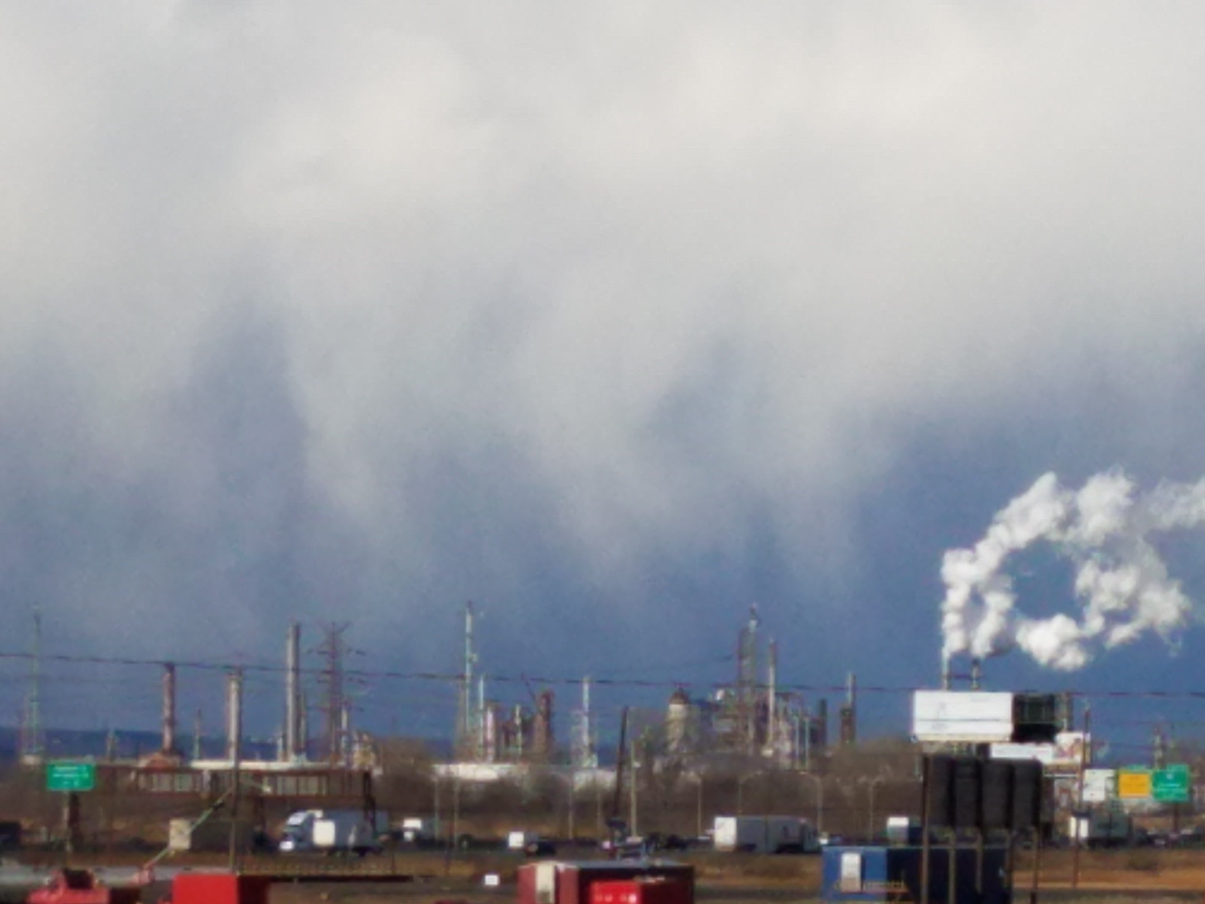
Snow showers approaching the Bayway Refinery in Linden from the west?

-
Interesting at 7:30PM the NEXRAD radar was showing the precipitation shield "leap-frog" northeast NJ about 50-100 miles northeast. This would seem that there was an energy transfer just as the storm approached our area? Quite a tease, as we watched the precipitation move in a uniform manner from West Virginia, and then all of a sudden, skipped over our area. Then again, precipitation doesn't actually act (or move) as a vehicle driving along a highway. Rather, the low pressure system is continually propagating itself, as if the low pressure system is actually continually building the road out ahead of the vehicle.
-
January 2020 General Discussions & Observations Thread
Dark Star replied to Rtd208's topic in New York City Metro
Meteorological Winter began December 01st and ends February 28th. The general consensus is that most of January seems lost to receiving much snow, barring a significant change in the persistent Pacific jet and its influence on the overall pattern. That leaves February... -
Flurries invaded Linden NJ around noontime.