Dark Star
-
Posts
1,731 -
Joined
-
Last visited
Content Type
Profiles
Blogs
Forums
American Weather
Media Demo
Store
Gallery
Everything posted by Dark Star
-
Live by the models, die by the models. At least that used to be the war cry 40 years ago. However, I have seen major snow storms with temps near 70 the day or so before (just can't remember specifics)...
-
NWS has already taken the Thursday evening (snow chances) out of the forecast.
-
B+ A very good winter indeed, based on 66 years of observation. In relative terms it was an "A".
-
What happened to the March 17th "event"?
-
The delights of a bidet are never ending...
-
Sorry to hear that. Even a snowblower is work, if you do it right. I normally have to pull up on the handle a little to make sure the front of the snowblower is getting all the way down to the pavement. It gets a little tiring after a while. Sure beats shoveling. I shoveled a few mounds on the road and piled them on my lawn, hoping to sculpt a polar bear. By the time I got started, I realized that it would all be melted in less than a week, so I abandoned the idea...
-
Wintry mix in Garwood NJ. A few minutes later, at 10am, just plain rain...
-
I'll let Volcanic Winter answer this one...
-

-
20" of snow from Monday is down to about 3-4" on the sunny side of the street by Friday morning. Sun angle. I guess that's why meteorological spring begins this coming Sunday...
-
Play on words?
-
A link to the complete blizzard graphically from Jeff Beradelli: https://www.facebook.com/share/v/1BSFjfS38x/
-
I haven't been keep track, but my measurements are usually lower than the surrounding area reports...
-
I haven't been keep track (probably the first time since 1967), but my measurements are usually lower than the surrounding area reports this year...
-
1.0" in Garwood NJ, as the snow has tapered off to a light flurry...
-
I wonder what it would be like to experience the Laconia Washington 3 day storm?
-
Sometimes after a good coastal storm, we get an unexpected pull of colder air, not seen by the models that picked up the coastal storm. Go figure...
-
The wind was blowing here, but not like on Long Island. I was able to get some good representative areas in NJ.
-
20", but I measured twice. Once at 17.5", cleared the area, then another 2.5" fell after that.
-
Dave Curren of NJN12 news said that Newark officially met the blizzard criteria for at least 3 straight hours last night, so one less thing for me to opine about...
-
20" here in Garwood (unofficially). Unofficial, because I cleared my driveway which had 17.5", then 2.5" more has fallen since. Still snowing lightly in central Union county...
-
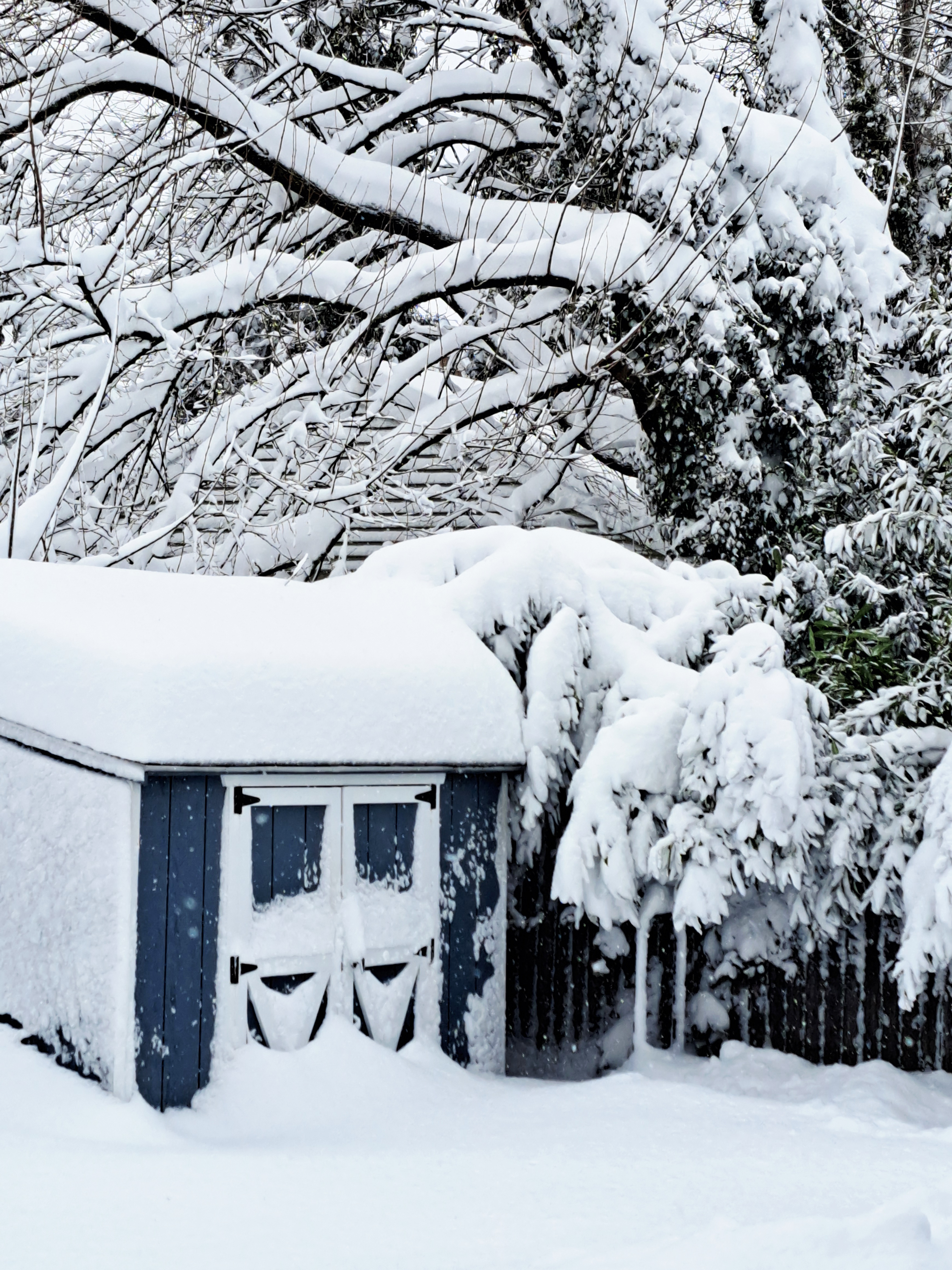
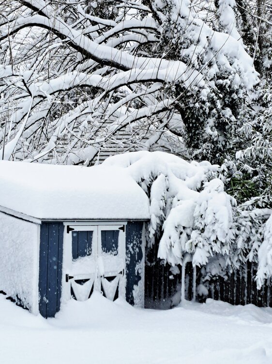
16" so far here in Garwood NJ. Admittingly, I just saw as near "Whiteout" conditions as I guess I will ever see when a gust came through and blew snow off the rooftops and trees...
-
Thanks. Not moving is key.
-
Has any area reached sustained winds of 35 mph or more with visibility less than 1/4 mile for at least 3 hours yet?
-
Seems to be following the Watchung ridgeline?