
dmcginvt
-
Posts
515 -
Joined
-
Last visited
Content Type
Profiles
Blogs
Forums
American Weather
Media Demo
Store
Gallery
Everything posted by dmcginvt
-
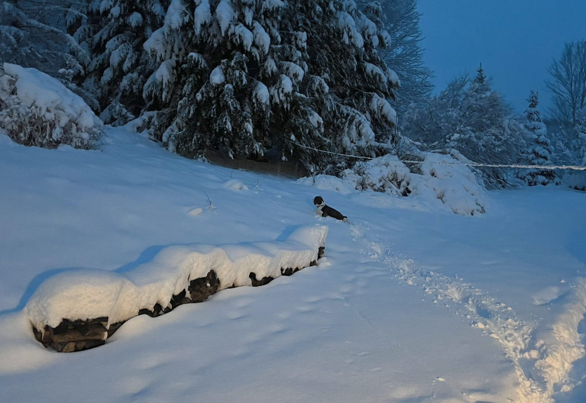
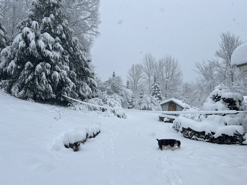
dog now swimming

-
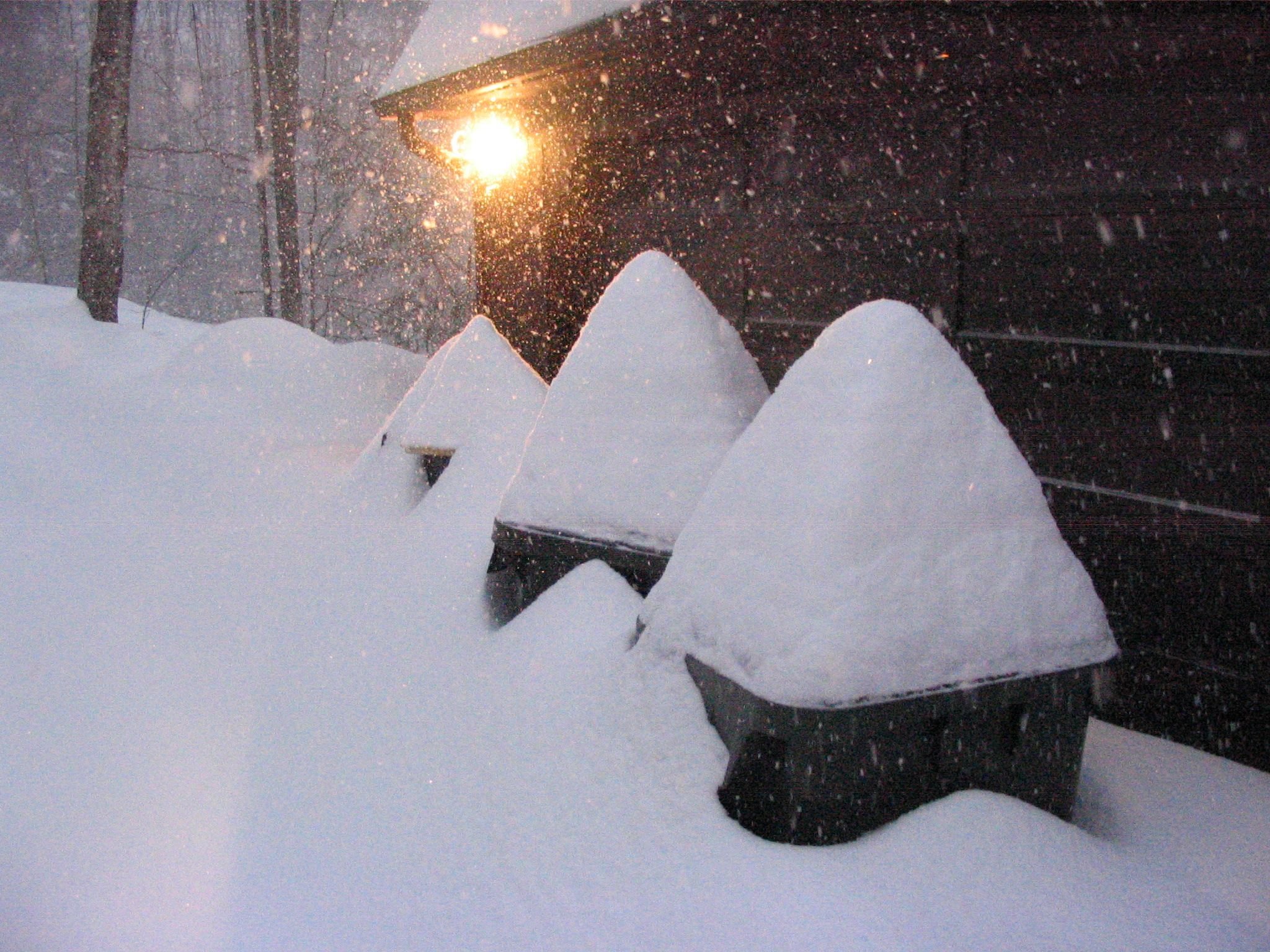
16 so far, 13 depth
-
-
tried to take from a similar position as an earlier pic
-
16 total so far, depth is 13 started at 0
-
BTW depth is 13 for those that followed depth . I did wipe the board, and total fallen is 16.
-
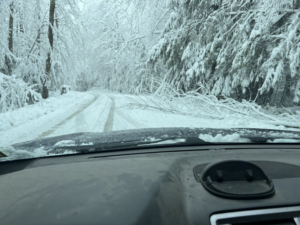
I havent reported yet but I am at 16. It just keeps coming. And im in another band of heavier snow
-
-
love the new top of mansfield cam
-
now up to 27k dropping like flies out there. Have a foot here already. Was 1-2in/hour for several hours but the heaviest snow has shifted west to the Champlain valley only about .75/hr here now
-
Significant Miller B Nor'easter watch, Apr 3rd-4th
dmcginvt replied to Typhoon Tip's topic in New England
That is the play, 16 inches fell here days ago, and it's all gone. In N VT, we've had so many mud seasons this year that the roads are fine too. -
The Congrats Dendrite Deck Destroyer 3/23-3/25 obs discussion
dmcginvt replied to Ginx snewx's topic in New England
Only 5 miles south I got 15. Curious what jspin recorded -
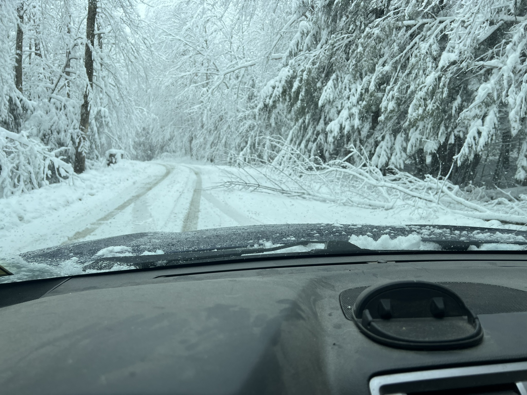
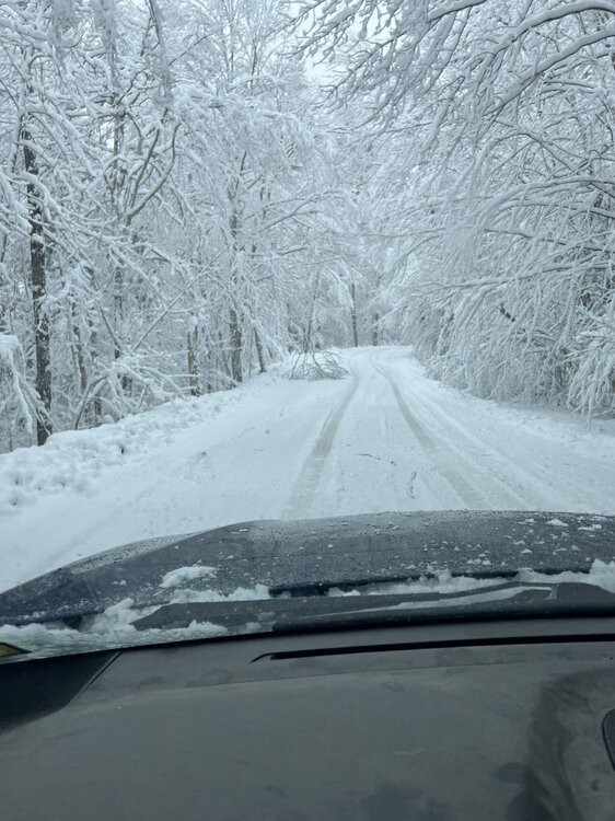
just took the dogs out, its S out there!!! Far short of SN + but def S, down to 18

-
temp down dp up, = snow
-
Its now snowing S- temp down a degree to 19 and dp up to 14
-
lol still nada in waterbury center....dp to 9
-
cold and dry, the virga is real
-
-
There is no forecast I would take more seriously than yours. Going back to ne.weather, you understand the microclimate of the area. I remember when you were still in albany. And for a non met you blew me away. So we shall see.
-
well either way it's gonna snow. I think I saw btv said warm nose doesnt look as bad anymore so I dont think we see pingers up north which I was worried about. I've settled with expecting a foot but hoping for more simply because I want more. Hrrr still likes further south for jp which is sad, nam and nam 3k pretty widespread crush
-
Regardless, significant accumulationsare possible from the Adirondacks into the northern Green/WhiteMountains and into northern Maine. There, WPC probabilities for atleast 12 inches of snow Sat-Sun are high (>70%). EPIC
-
wpc heavy snowfall disc spreading snow across northern NYS into northern New England as mid-level troughing digs into western NY/Lake Ontario and a persistent band of FGEN translates eastward into the region. At the same time, a system in the Southeast will start to lift northeastward along the coast, bringing a surge of moisture northward on strong 50-60kt winds at 850mb across Long Island. Aloft, jet will start to buckle a bit and increase quite smartly to over 150kts across Quebec, with much of northern New England in the right entrance region of the jet. Surface high pressure will be split to the north and east of the region, but a low pressure track along and off the New England coast should maintain some northeasterly cold air drainage into interior sections. This could set up a narrow band of sleet and/or freezing rain in between snow over interior locations and rain along the coast as mild SE flow overrides the marginally sub-freezing interior locations. Snowfall could be quite heavy at times, with HREF probs >1"/hr already ~60-80% early Saturday over northern NY/VT/NH, with snow continuing eastward thereafter into Maine (beyond the 12Z HREF end time). Snow ratios may be quite variable as the system evolves and may also be dependent on time of day as well (esp with lower rates outside the favored areas). Regardless, significant accumulations are possible from the Adirondacks into the northern Green/White Mountains and into northern Maine. There, WPC probabilities for at least 12 inches of snow Sat-Sun are high (>70%). Lower amounts around 4 inches are possible as far south as about I-90 across NY and then turning northeastward across south central NH to coastal Maine, especially west of I-95 in southern Maine.
-
Its a very quick thump if true. GFS Euro both nams show it, serious fgen wpc heavy snow
-
Yup, as expected after 12z guidance they have upped the snow significantly in the N.
-
https://www.facebook.com/photo.php?fbid=799424885552128&set=a.220831436744812&type=3&ref=embed_page This map shows it, it might say 8 for me too, but I got way more than that. Especially since I have a foot on the ground and can prove it