WxKnurd
-
Posts
1,542 -
Joined
-
Last visited
Content Type
Profiles
Blogs
Forums
American Weather
Media Demo
Store
Gallery
Everything posted by WxKnurd
-
Let the dog out at 12:30 and we had what looked to be 1-1.5”, approaching 3” now if not already there. Heading towards Harmon Den area to hunt this morning, I’m expecting 5+ there even at the lower elevation. Radar showed them getting hammered when I went to bed. ETA: Definitely had to have scrapped 3” off my truck. Roads are fine even with it being in the 20’s. Neighborhood road had a coating on it but that was it. Around 20 at home, 25 here in town and just a dusting. Best event since we moved up here in mid-Feb 2019. Think we can end up around 4 if it keeps snowing those small, furious flakes til sunrise.
-
Looks like 1/2” on my deck railing with light snow falling. Already surpassed my expectations.
-
Gotcha, we looked at a home off Old Fiddle up there but settled on a log home in the neighborhood before the parkway. Love our area! Solid dusting now for me, feel Confident I can eek out an inch or two.
-
Basically what it looks like down below you neighbor, maybe a little less. Are you off Walker Road?
-
I need to come hunt at Buckethead’s tomorrow I see lol. Vehicles, deck and trees are starting to whiten up ever so slowly.
-
The Plotts are getting snow covered up above 4000’, flizzard down here at 3350’. Last day of November and flakes (no matter how small) are flying, I love living in the mountains.
-
Off and on flurrie/sprinkle mix since I posted earlier. Typical for me though being on the south base of Lynn Lowry. Oh and they’ve had the parkway closed since this morning here.
-
Moisture is in the air, flakes mixing in here at home at 35 with plain rain and 40 down in hazelwood.
-
Upper 30’s at my place, low 40’s in town. Lynn Lowry and Plott Balsam are covered in clouds, just looks and feels like a winter day with snow on the horizon.
-
We will see what happens at 3300’ like Maggie said, though he’s in a better spot to get some flow snow than me I think. Family emergency means I’ll be home for the events this week though it’s hard to get too excited about the possibilities with what’s going on. 2020 is just ugh.
-
I kept trying the wrong password and was too lazy to reset it lol. I’m just glad we’ve had a couple days of November weather, makes me not sweat as much when I’m walking around the woods.
-
Been MIA because I forgot my login info. Y’all book it on a storm next week, I leave on the 30th and won’t get home from working in Louisiana until late the 7th. Was mid-20’s when I left the house at 5 this morning, right around 30 over in Mt Sterling when I got off the interstate. Probably ended up high 20’s over where I’m hunting, frosty morning that felt good. No deer were harmed though I did have one give me the slip,
-
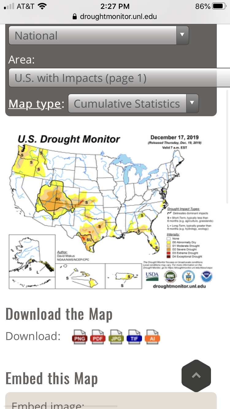
Hasn’t been “abnormally dry” there since the Dec 10 update. From Dec 17 on only NE NC had been abnormally dry in the Carolinas and that finally went away with the last update.

-
I’d like to see a closer look at the mountains, hard to map out ridge tops and higher elevations that far zoomed out and smoothed out. Puts me at around 2’ a year which seems to be correct lately from what I’ve gathered but also less than there used to be from what I’ve heard from residents too.
-
Next one is on its way, I’ve just missed the bad leading edge last night and this morning where I am working in Indiana. Same areas taking a beating 12 hours apart and they didn’t need any more heavy rain up here with the local flooding.
-
Officially a resident of Haywood County. Always said I’d have a log home in the mountains one day and am proud to say I’m a log homeowner at 3350’ now, hard work still gets you what you want!
-
Is it bad I am taking into account elevation and winter weather prospects when we head to look at houses in Haywood County tomorrow? I didn’t think so either...
-
I’ve fared a little better here NW of town but have had higher totals all around me since building over here 7 years ago. Always something whether anemic rates, tiny flake size, sleet, etc. Kills me as growing up in northern Catawba County always put me on the good size of these kind of storms. Wife wants to move back home to somewhere around Asheville so hopefully this time next year I’ll be posting from 3000+ feet.
-
Colder look makes sense if you look at current conditions, the high pressure back around the Lakes is 1038, 850’s are good, 925 looking good.
-
Spruce Pine could be do able, I know once you get to Burnsville Hwy 19 is 4 lane limited access all the way to 26.
-
Looks like it actually ticked up about .4", from 4.21" and plumes done snowing at 15 compared to 4.61" and some plumes still snowing. HKY went from 11.98" to 9.73" but again, more plumes showing it still showing it snowing.
-
Then that makes the other maps that were confusing us when compared with the current forecasted amount map make sense now, probably also automated via WPC suite.
-
Oh I agree, just pointing out that the expected map makes no sense when you factor in all the other product maps they put out with it. And that’s the only reasoning I could think of, which makes sense when you look at the disco about QPF and sleet SW of Asheville. Seems like their reasoning is banks on snow being rate driven given the thermal profile.
-
Just scrolled through their maps, the high end matches up with model output but then when you look at expected and then scroll through the “% of x inches”, it makes no sense why they went with what they did. only thing I can figure is they see this mainly a CAD region storm in regards to snow as the ice accumulation map is highest SW of Asheville.
-
Yes and INT is the code for Winston’s airport.