psuhoffman
-
Posts
26,411 -
Joined
-
Last visited
Content Type
Profiles
Blogs
Forums
American Weather
Media Demo
Store
Gallery
Everything posted by psuhoffman
-
There is a path to a decent snow still, especially NW. We don’t have much experience with the new upgraded GFS. It’s supposed to be better with the cold bias. We will see. The SW continued to trend weaker. 18z gfs found the seeet spot that @WxUSAF alluded to where the NS SW washes out completely such that the primary gets killed completely and all the focus is on the coastal wave. This increased qpf this run because we were stuck in between the dynamics from the weak primary and secondary on the 12z runs. There was a qpf max to either side of us. This focused all the lift over us. The danger being if the system continues to weaken that will degrade from here. But maybe there is a limit to that since there is almost no NS component anymore on the 18z. Not sure how much weaker it can get, famous last words.
-
Yea that's the part I don't know we're getting kinda close to see those kinds of adjustments. My area up here can do pretty well with my option 1. 18z GFS is kinda ridiculous with that banding though, I'd bed anything its overdone, but I could see my area get a 6" snow from that scenario but just not sure that can work for more than a couple inches in the cities given the marginal temps. The danger in rooting for option 2 is if the whole thing gets stuck in between we risk nothing at all for the entire area. That would be how the whole thing falls apart. Maybe best to just cut our losses and root for the STJ to go it alone like the 18z GFS shows. Again, the GFS snow output with that is crazy but I could see a 3-6" snow NW of the cities from that scenario.
-
So far at 18z the ICON moved a little towards my option 2 but was stuck in between. The GFS went towards option 1.
-
@Terpeast @WxUSAF @MillvilleWx Thoughts on this... I've been thinking about the "new" curveball here... making the assumption that the trailing SW that has popped up and thrown a wrench in all this is real, its newer data and why would guidance just make that up, how can we still get this to work. Very minor adjustments in that trailing wave I don't think will do much and we are too close to get HUGE ones. The trailing wave is just simply the dominant one and the SW that was associated with our storm is washing out in response to the spacing and the new SW amplifying right behind it. So... I see 2 possible scenarios to get snow into DC/Baltimore. 1) Things trend a little colder ahead of this and the STJ wave continues to speed up and holds together just enough to produce a quick WAA thump before dry slot or rain. This is likely low end potential but I could see the cities getting a 1-3" snow if everything broke right on this scenario. 2) If we want a shot at something bigger the only way I can really see us trending back where we want is if the trend already underway continues and that trailing SW becomes even more dominant, the lead wave that we thought was THE storm continues to die out and eventually becomes just a frontrunner wave that does not take all the moisture off with it, and we get a secondary development centered on the dominant trailing SW. I was looking at the spacing and its not impossible. Unlikely yes but not impossible IMO. That trailing SW actually takes a pretty good track, like the original now washing out NS SW was supposed to. I think our best chance here would be if the trends were to continue and the trailing wave ends up being the storm. Thoughts?
-

Jan Medium/Long Range Disco: Winter is coming
psuhoffman replied to stormtracker's topic in Mid Atlantic
I'm on this train -
All the energy is actually shifting to that trailing wave. That could work if the lead stj wave didn’t run off with all the moisture.
-
It held from 6z it’s worse than 0z. Euro caught into this change at 6z. Gfs at 12z. Ggem is off on a tangent.
-
EPS isn’t as bad as I expected
-
We are not safe up here. This could easily become an interior and New England event. We don’t have nearly the wiggle room we need. I was hopeful when things were trending colder 24 hours ago but we needed that trend to continue. Yes it could reverse but the trend towards a less amped system is concerning. But it very well could continue. Look at the changes in just the last 24 hours. We could easily be mostly rain here too by the time it gets here. Not saying we will but I don’t feel safe in the least. Seen this setup way too many times. And so has everyone else. That’s why there are so many posts with declarative statements no one really means. To try to convince ourselves this time will be different lol. Eventually one will be different. But I never feel confident at this range no matter what unless everything is truly perfect. This setup isn’t.
-
Jan Medium/Long Range Disco: Winter is coming
psuhoffman replied to stormtracker's topic in Mid Atlantic
It's just because we're in a nina relax...oh wait -
unfortunately the GEFS followed the op. The track is fine, but the see saw went towards a stronger SW in the southwest and a weaker one associated with our system. The SLP track is identical to previous runs, but its weaker, less moisture, and warmer.
-
The system is weaker so its not being pulled in and phasing with the coastal. It's the same vort that was always there its just not as amplified
-
No it's actually weaker...the problem is the coastal is WAY weaker...so it doesn't develop as much northerly flow to the NW of the low to resist the WAA ahead of the trough axis. A weaker wave doesn't work here, regardless of the track it will end up warmer it seems. I can see how some think the primary is stronger, it looks that way because its in relation to the coastal which is a LOT weaker. That is the real difference. The primary is weaker also but because the whole wave is weaker it doesn't develop the closed circulation needed to cut off the WAA. We need a wound up system to offset the marginal thermals.
-
People are going to over analyze all the little details, the primary was actually weaker and in the same location this run. The GFS/Icon and 6z euro were simply weaker and warmer. That's it. I think those 2 things are related but I don't feel like over analyzing it.
-
Early on I thought the less amplified wave might help mitigate the thermals but we need the NS interaction. I was wrong.
-
This is the issue…weaker less dynamic system.
-
Heisy was right. Upon closer look the euro went to a gem like solution. The biggest difference is the system is much less amplified. There is almost no NS interaction. The stj wave runs out ahead alone and the NS hangs back. That kills us. That NS interaction was pulling cold in tighter to the system. The track on 6z eps control and mean is better but without the NS and less confluence (I think those are related) WAA warms the thermals way ahead of the wave and the cold doesn’t wrap in behind. That isn’t a fluke on the control it showed up across the eps members. They really lost the NS interaction. Seems that’s the key here and it seems linked to the confluence. Not enough suppression and the NS doesn’t dig enough to interact with the STJ wave.
-
They switched positions
-
I can’t dig too deep, work. But the track is identical. The mean is weaker also. It’s just warmer. Less confluence and high slides east. That is the most important thing unfortunately.
-
I was looking at the control which is worse so op would probably have been a bad run. EPS is warmer too but not as much. Bad run. control eps
-
EPS is awful. Warmest run in 3 days
-
SW is a little more progressive and less amplified. Also a little colder over the top despite the true arctic boundary retreating a bit. Might be a wash.
-
Jan Medium/Long Range Disco: Winter is coming
psuhoffman replied to stormtracker's topic in Mid Atlantic
Euro op is around 3 for DC and it’s the slowest of all guidance right now. -
Jan Medium/Long Range Disco: Winter is coming
psuhoffman replied to stormtracker's topic in Mid Atlantic
EPS -
Jan Medium/Long Range Disco: Winter is coming
psuhoffman replied to stormtracker's topic in Mid Atlantic
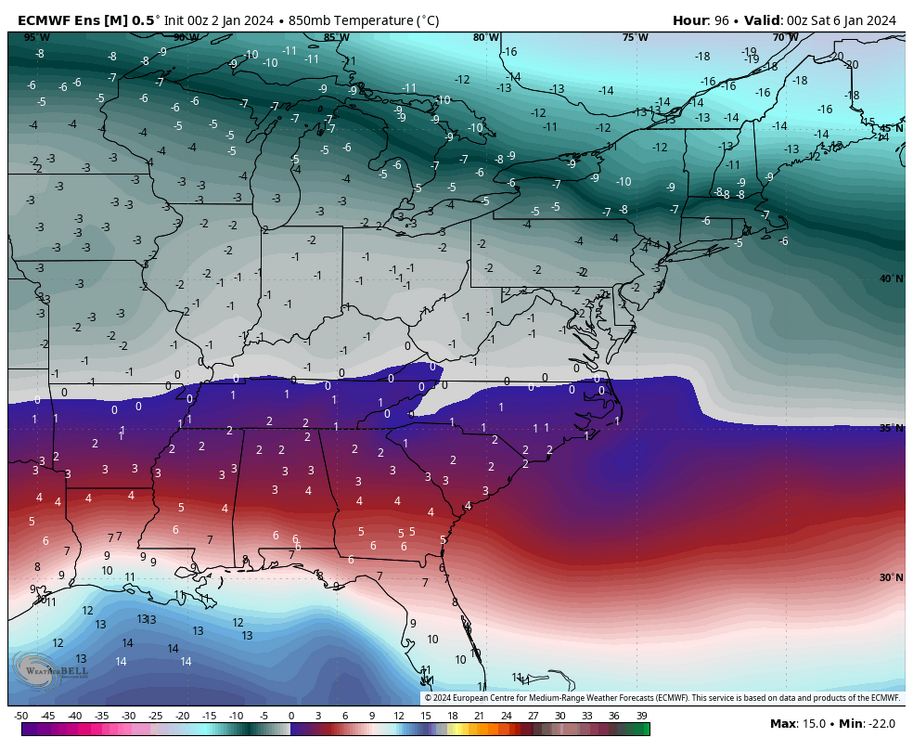
We’ve actually had some runs with marginally crappy tracks produce decent results over the last 24 hours. This helps. Remember a few days ago what the airmass looked like leading in. The boundary was to our north. This is much closer to what we want the thermal boundary look look leading in. I said I wanted 5 degrees colder than that gfs run. This is maybe 3-4 colder. Will have to do.