

uofmiami
-
Posts
2,278 -
Joined
-
Last visited
Content Type
Profiles
Blogs
Forums
American Weather
Media Demo
Store
Gallery
Everything posted by uofmiami
-
Tragic story, as a father to two kids (5 y/o & almost 3 y/o) myself it hit home. I donated $100 anonymously on Wednesday.
-
81.8 in Muttontown & 81.3 in Syosset for the highs. Both stations have gusted to 37 mph. Mid 70s now at both locations.
-
12z is the v16 upgrade & new operational going forward.
-
Good luck with your shot. My brother is taking his wife for her 2nd shot this morning at Javits as well.
-
17.7 in Muttontown this morning. Only got down to 21.3 in Syosset.
-
Obs and nowcast Super Bowl Sunday 4A-6P Feb 7, 2021
uofmiami replied to wdrag's topic in New York City Metro
8.4” in Syosset for a final, fell slightly above the range of 6-8” I thought would fall. -
January 2021 General Discussions & Observations Thread
uofmiami replied to Stormlover74's topic in New York City Metro
That's a March topic, soon enough we'll be discussing that. -
HIGH IMPACT Stormy Christmas (EVE and morning) 12/24-25/20 6P-10A
uofmiami replied to wdrag's topic in New York City Metro
URGENT - WEATHER MESSAGE National Weather Service Upton NY 255 PM EST Wed Dec 23 2020 CTZ009-NJZ006-NYZ071>075-176>179-240400- /O.UPG.KOKX.HW.A.0002.201224T2300Z-201225T1400Z/ /O.NEW.KOKX.HW.W.0005.201224T2300Z-201225T1500Z/ Southern Fairfield-Hudson-Southern Westchester- New York (Manhattan)-Bronx-Richmond (Staten Island)- Kings (Brooklyn)-Northern Queens-Northern Nassau-Southern Queens- Southern Nassau- 255 PM EST Wed Dec 23 2020 ...HIGH WIND WARNING IN EFFECT FROM 6 PM THURSDAY TO 10 AM EST FRIDAY... * WHAT...South winds 25 to 35 mph with gusts up to 65 mph expected. * WHERE...Portions of northeast New Jersey, southern Connecticut and southeast New York. * WHEN...From 6 PM Thursday to 10 AM EST Friday. * IMPACTS...Damaging winds will blow down trees and power lines. Widespread power outages are expected. Travel will be difficult, especially for high profile vehicles.- 227 replies
-
- 1
-

-
- heavy rain
- flooding potential
- (and 2 more)
-
HIGH IMPACT Stormy Christmas (EVE and morning) 12/24-25/20 6P-10A
uofmiami replied to wdrag's topic in New York City Metro
Lots of flood watches issued for inland locations due to the snowpack melt & runoff w/rainfall. Nice call days out on the potential!- 227 replies
-
- 5
-
-
- heavy rain
- flooding potential
- (and 2 more)
-
HIGH IMPACT Stormy Christmas (EVE and morning) 12/24-25/20 6P-10A
uofmiami replied to wdrag's topic in New York City Metro
URGENT - WEATHER MESSAGE National Weather Service Upton NY 349 PM EST Tue Dec 22 2020 CTZ011-012-NYZ075-078>081-176>179-231015- /O.NEW.KOKX.HW.A.0002.201225T0200Z-201225T1400Z/ Southern Middlesex-Southern New London-Kings (Brooklyn)- Northwestern Suffolk-Northeastern Suffolk-Southwestern Suffolk- Southeastern Suffolk-Northern Queens-Northern Nassau- Southern Queens-Southern Nassau- 349 PM EST Tue Dec 22 2020 ...HIGH WIND WATCH IN EFFECT FROM THURSDAY EVENING THROUGH FRIDAY MORNING... * WHAT...South winds 25 to 35 mph with gusts up to 60 mph possible. * WHERE...Portions of southern Connecticut and southeast New York. * WHEN...From Thursday evening through Friday morning. * IMPACTS...Damaging winds could blow down trees and power lines. Widespread power outages are possible. Travel could be difficult, especially for high profile vehicles.- 227 replies
-
- 1
-
-
- heavy rain
- flooding potential
- (and 2 more)
-
December 2020 General Discussions & Observations Thread
uofmiami replied to bluewave's topic in New York City Metro
7.8 in Muttontown & 12.3 in Syosset for the low. -
December 16-17, 2020 Storm Observations and Nowcast
uofmiami replied to wdrag's topic in New York City Metro
I measured 8” in Syosset. -
December 16-17, 2020 Storm Observations and Nowcast
uofmiami replied to wdrag's topic in New York City Metro
27/12 in Muttontown & 27/17 in Syosset currently. -
OKX has Huntington with a range of 7-14” with 13” forecasted. Has me in Syosset also with a range of 7-14” with 14” forecasted. OKX definitely going with the higher end along the N Shore, let’s hope that’s correct in the end.
-
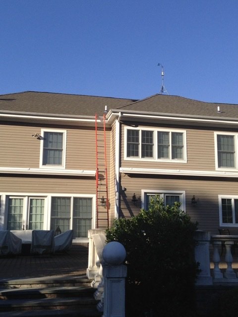
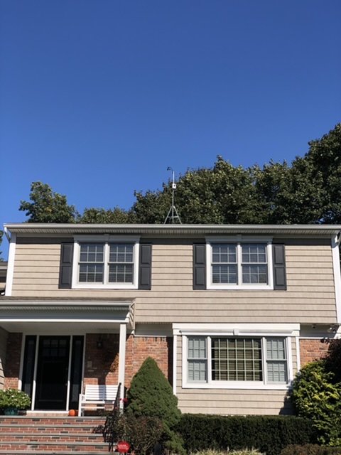
Sounds like an ideal location, all things considered. Below are my two station’s anemometer locations on the house. My parent’s roof I’m not a fan of going on. Here’s my parent’s house, probably around 40’ No trees nearby & get good readings due to it. My house around 32’. Trees to my NE hinder good readings when leaves are out.
- 373 replies
-
- 2
-
-
- heavy rain
- wind event
- (and 2 more)
-
Has to be on a roof with no trees nearby, if not, then on a nicely sited pole I would imagine. He gets great wind obs in storms.
-
My highest gust was 33 in Muttontown & 32 in Syosset. 1.52" in Muttontown & 1.84" in Syosset.
- 373 replies
-
- 2
-
-
- heavy rain
- wind event
- (and 2 more)
-
Been having that on and off here in Syosset at times with a temp of 37.8
-
Yeah it’s a paste bomb for them. N winds with the BL at +1 at 54 then goes to 0 at 60 with ok VVs. Upper levels are frozen through that time though.
-
NAM Fous says congrats Boston, maybe 10” or so of snow for them.
- 373 replies
-
- 1
-

-
- heavy rain
- wind event
- (and 2 more)
-
1.86” in Syosset with highest wind gust of 39 mph from storm.
- 212 replies
-
- 1
-

-
- wind damage
- heavy rain
- (and 1 more)
-
Just the Pine trees at this point, assuming soil is saturated to allow for it to happen at all.
-
November 2020 General Discussions & Observations Thread
uofmiami replied to Rtd208's topic in New York City Metro
I only had 1.17" in Syosset. You cashed in on the rain.

