

wthrmn654
-
Posts
3,069 -
Joined
-
Last visited
Content Type
Profiles
Blogs
Forums
American Weather
Media Demo
Store
Gallery
Everything posted by wthrmn654
-
Woooo. Serious cold air fight right now, temp did go up to 34. Crashed back to 32!
-
I'm so confused there's a serious cold warm battle going on! I thought for sure I was done setting frozen. It was moderate sleeting before, now it looks like pixie dust snow/ rain.. wtf lol and temps looks to be dropping again
-
The more steadyPrecip is nearly done looks like.
-
Is 31 not mis 30s lol
-
Plows are out now.
-
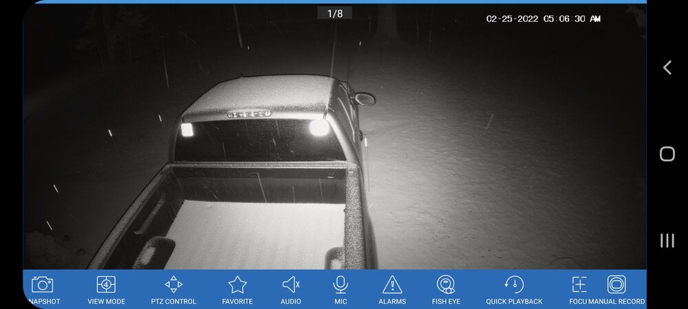
My proof
-
As I and several said colder air is holding out stronger then forecast, nam bust.
-
All of Long Island is now under a Winter Weather Advisory through this morning`s commute. Large dewpoint depressions preceding the precip onset along with a more backed wind flow than what was modeled is helping keep temps across LI at or just below freezing early this morning with a slow warmup as the morning commute progresses. Blended in HRRR hourly temps with the previous forecast to better capture the temperature trends. Otherwise, more sleet and freezing rain and less snow has occurred than previously thought. Snow/sleet accumulations have been lowered, however ice accretion forecast has been bumped up in many areas, but still within advisory criteria. For coastal areas, the ice accumulation will be primarily on untreated surfaces as temps will likely be at least 30. Farther inland, better chances of accretion of all surface as temps are in the mid to upper 20s. The previously existing Winter Weather Advisories remain unchanged for timing, but snow/sleet and ice accumulations have been adjusted accordingly.
-
Moderate to heavy snow, all is white. Now he's l hearing sleet to. Temp 30
-
NEAR TERM /THROUGH FRIDAY/... -- Changed Discussion -- Winter Weather Advisories remain in effect for all but far eastern sections of Long Island. There were some light radar returns moving across portions of the area out ahead of a more organized area of precipitation across the Mid Atlantic that will move in after midnight. Latest HRRR simulated reflectivity shows weak returns generally passing to the south and east of LI/NYC metro next couple of hours. Only minor adjustments were made to the forecast at this time. Biggest challenge overnight will be how quickly the precipitation type transitions to rain along the coast and a wintry mix inland. Guidance is in better agreement, but their are still enough differences in the magnitude and timing of the warm nose aloft and surface temperatures to impact snowfall accumulation and ice accretion.
-
Dewpoint up to 17
-
11.1 dew point
-
3km nam is got a decent freezing rain signal with that run.
-
It's about 30-31 here
-
then it's not warmer lol
-
00z surface temps are lower then 23z for long Island. Lol not sure how that's warmer
-
Rap and hrrr say city changes to rain sooner then my neck of the woods lol
-
Earlier shortwave energy has moved offshore. Higher level clouds have cleared with some clouds around 5-7kft over the area. Can already see deeper moisture gathering over the Ohio Valley in response a strong vortmax over the Northern Plains. This vortmax moves towards the Great Lakes overnight. Low pressure develops over the Ohio Valley tonight with a weaker secondary wave possible forming near or just south of Long Island late tonight into Friday morning. The primary low will become absorbed into the secondary low by Friday afternoon as the system departs off the New England coast. No changes have been made with this update for overnight into Friday morning, with just minor adjustments made to sky cover, temps and dew points through midnight. Still appears that precip will begin around or shortly after midnight from southwest to northeast. No changes were made to the coverage of the winter weather advisories, but have adjusted the end time to 10 am Friday for NYC metro and NW Long Island and 3 pm Friday for southern Connecticut.
-
Rap says snow till 12z then straight to rain lol
-
Latest hrrr skew says I snow till 10z, sleet 11z,12z,13z and rain by 14z
-
Parts of Jersey yes, most other areas don't hit 40
-
Hrrr has cooled at 850 level 12z for a portion of the area.
-
Well I'm scratching my head again tonight. Weather Channel on TV, all day has said 3-5 inches for my area on the ticker on bottom screen for several nearby Locations. Can't really figure that one out at all...
-
.NEAR TERM /THROUGH FRIDAY/... Some weak shortwave energy is traversing across the region this afternoon within a nearly zonal flow aloft. A few snow flurries and ice pellets have been reported under some light returns, but expect the activity has diminished as the energy departs. The low level atmosphere is very dry still as high pressure ridges down from southeast Canada. Attention then turns to a strong vortmax approaching from the Great Lakes region overnight. In response to this system, low pressure develops over the Ohio Valley tonight with a weaker secondary wave possible forming near or just south of Long Island late tonight into Friday morning. The primary low will become absorbed into the secondary low by Friday afternoon as the system departs off the New England coast. The global models and high resolution models have continued to come into better agreement on both the large scale evolution and the mesoscale. This has led to increased forecast confidence over the last 12 to 24 hours. No changes were made to the coverage of the winter weather advisories, but have adjusted the end time to 10 am Friday for NYC metro and NW Long Island and 3 pm Friday for southern Connecticut. Precipitation develops from southwest to northeast across the region late this evening into the early morning hours. Strong warm advection in the middle levels may be briefly offset by wet bulb cooling and precipitation dynamics. This will yield a quick burst of snow even at the coast. However, the snow will be short-lived and may quickly mix with or change completely to sleet shortly after precip onset due to warm air aloft. An increasing easterly flow will then help boost surface temperatures above freezing around day break. This will effectively bring a change to plain rain across Long Island and southern portions of the NYC metro. There could be a brief period of freezing rain, specificually for the NYC metro and NW Long Island around day break which could bring a light glaze of ice. For this reason, have left the Winter Weather Advisory in place here especially due to the timing around the morning commute. Away from the immediate coast, there will likely be a few more hours of snow, possibly moderate to locally heavy at times. Interior NE NJ, the Lower Hudson Valley, and interior SW CT will lie just on the colder side of the thermal gradient initally, which briefly enhances frontogenesis. Snowfall rates of around 1 inch per hour are possible here early Friday morning through around day break. The middle level low track of this system is not favorable for precipitation to remain all snow across the interior. The track of the low well to the north and west of the area will allow the warm advection aloft to bring temperatures between 850 mb and 700 mb above freezing. This will change the snow to sleet initially as the low level cold air looks dense enough. However, easterly flow will warm the low levels bringing a change to freezing rain and potentially rain before ending around midday. Locations along the CT coast and southern Lower Hudson Valley will see a bit more snow/sleet than closer to NYC metro and Long Island, but the warming both aloft and at the surface will bring a transition to freezing rain and then plain rain shortly after day break. By mid morning, saturation aloft diminishes and the precip intensity likely drops off. Most locations should see liquid precip with the highest chance of freezing rain across the interior. Total snow/sleet accumulations have been adjusted downward given the continued warming trend. These amounts may need to be adjusted downard further, especially if the transition to sleet is quicker. 2 to 5 inches of snow/sleet is expected across the interior, highest along and north of I-84, dropping to less than an inch for much of NYC and Long Island. Total ice acretion amounts remain similar overall with a glaze to a tenth across the NYC metro, SW CT, NW LI, to one to two tenths further inland. The models have trended faster with the end of the precip and have adjusted the forecast accordingly with mostly dry conditions in the afternoon except for southeast CT. No precip is expected during the evening commute. Highs should reach the middle and upper 30s, to around 40 at the coast. Winds are not a concern with the system, but could gust to around 20-25 mph near the coast in the morning. Winds will pick up behind the system late Friday, gusting 25-30 mph by evening. No precip is expected for the Friday evening commute.


