wthrmn654
-
Posts
3,069 -
Joined
-
Last visited
Content Type
Profiles
Blogs
Forums
American Weather
Media Demo
Store
Gallery
Everything posted by wthrmn654
-
Current conditions: soaked had to toe after 10 mintues of being outside mowing..... yuck
-
Complete opposite.
-
Crazy, Upton said eastern long Island and se ct had the best chances for rain over night and reality was areas west had the best chance.
-
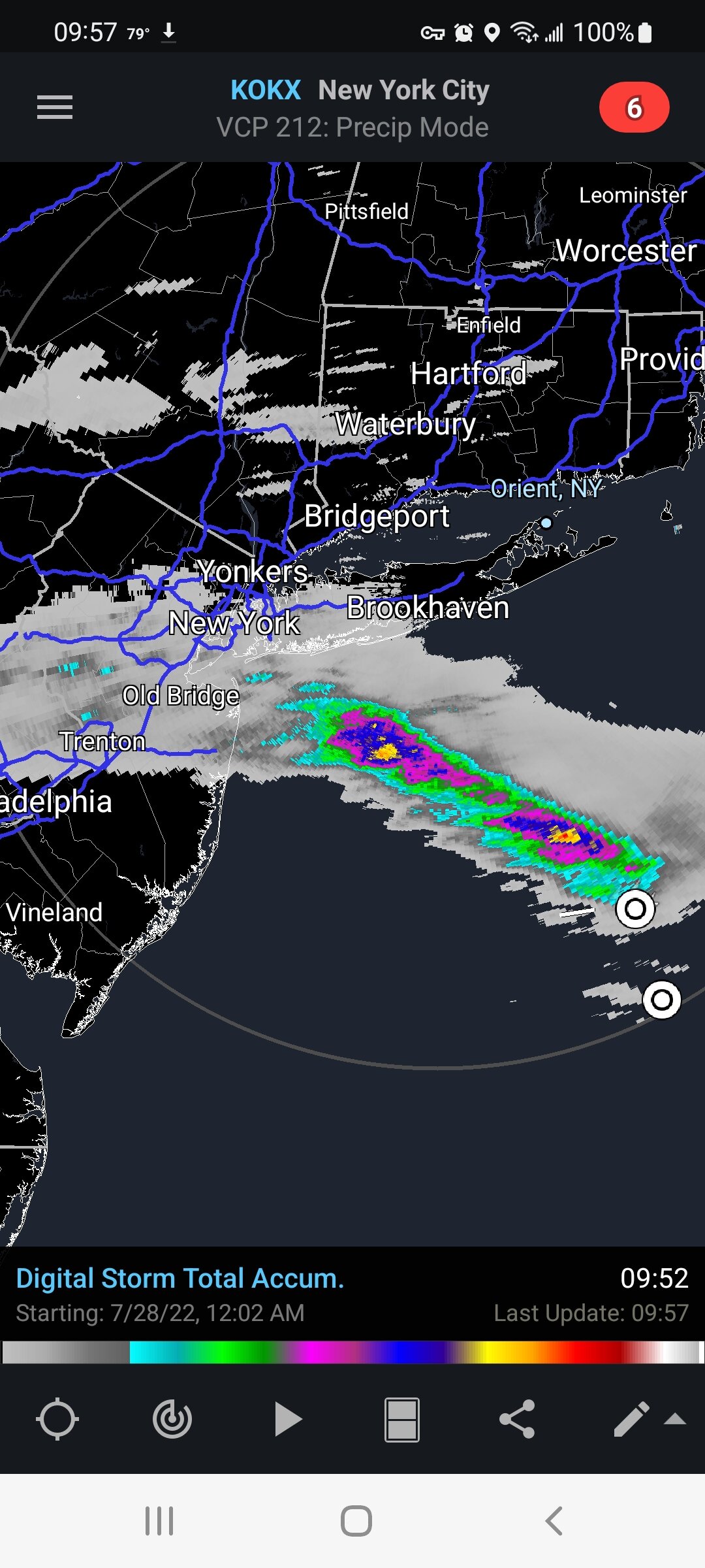
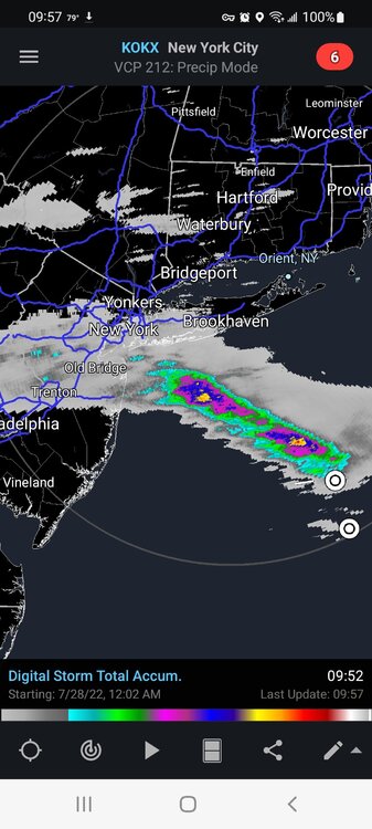
Wow at the rain heading towards NYC
-
Yankees look to be in a drought right now against the Mets
-
I'll get you a jet plane ticket to get you stop posting nonsense!
-
The only places that did well were south of jersey and northern New England like the Massachusetts region.
-
Gfs has 100s August 8th. It's coming.
-
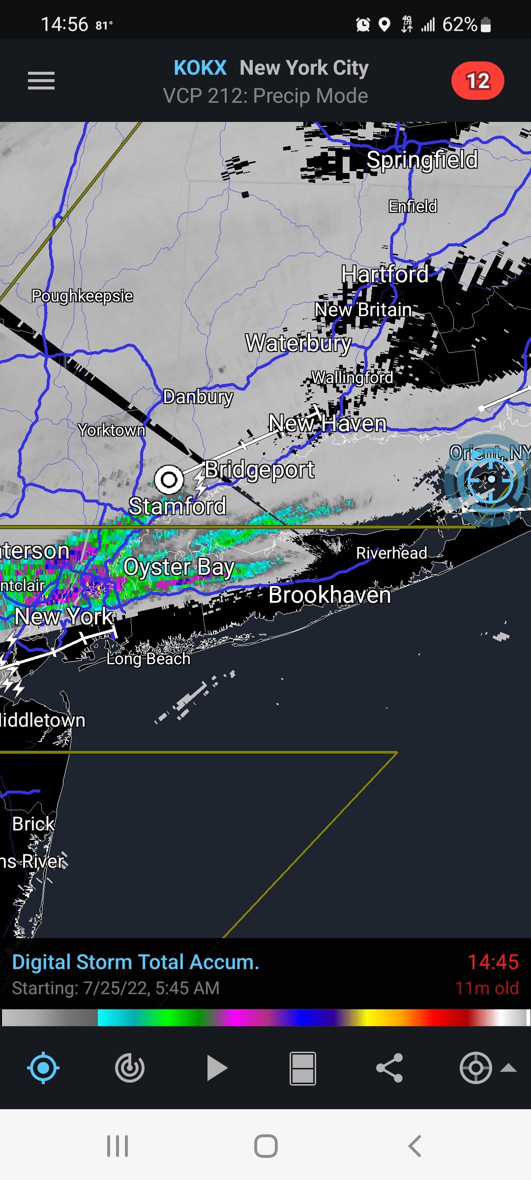
Watches dropped for all but ct
-
Watches can be just about all dropped at this point.
-
In a 3 hour period there are 4 working fire calls, 3 of them within the past hour... in Nassau County Several possible lightning strikes
-
Kinda disappointed with the overall storms so far. Was hoping area wide pounding
-
I got 0.01 inches! Yippee
-
Yep.

-
Everything fizzled once it got to about riverhead area east just some rains
-
And such a huge areas, 39 million people in the watch area
-
Montioring an area of showers, with a few embedded thunderstorms, across Upstate NY and PA as it tracks north and east in association with a pre-frontal trough. Cloud cover is increasing and skies will go overcast as it nears, and this throws some uncertainty into exactly when and where any potential severe threat materializes this afternoon. SPC mesoanalysis indicates rebounding instability behind this rain, and CAMs hint at new convection firing and tracking east later today. No significant changes for now, though adjusted temps and PoPs in the near term to account for the incoming rain.
-
Amazing how identical it can be on "good days" and how it stands out on the other days.... nothing looks awry to me.. if it was way higher versus what other ones did, and often, OK that's different but it's not.. it follows the graph in general.
-
Hopefully this all pans out to give everyone some excitement today! The approach of a cold front to the west will bring the potential for strong to severe scattered thunderstorms today. A warm and moist boundary layer will support strong instability with 1500 - 3000 J/kg of CAPE by the late morning and into the early afternoon. With 0-6 km shear of 30-40 kt, thunderstorms will have ample opportunity to remain organized and become strong to severe. There remains ample surface and upper level forcing with an upper level jet streak allowing for divergence aloft, an approaching vorticity maximum in the mid-levels, and a surface cold front allowing for lift through the entire atmosphere. This will likely result in the development of scattered thunderstorms as early as late morning. Thunderstorms likely become more widespread and more intense into the afternoon as instability is maximized. The primary threat for thunderstorms is damaging wind gusts, though hail, and a tornado can not be ruled out. Additionally, PWAT values on the order of 2 - 2.3 inches will allow for any thunderstorm that develops to produce heavy rainfall with rates up to or exceeding 1" per hour. This may result in localized flash flooding, especially in more urban and vulnerable areas. Poor drainage flooding can be expected in any thunderstorm. WPC has the area in a marginal risk for excessive rainfall today.
-
Mostly sunny and 80°F with winds 15-25mph, gusting to 35 mph 72% humidity and Dewpoint is at 70.3°F
-
Newark hit 100
-
Wow did the winds really pickup!
-
Finally hit 90, Dewpoint up to 69 51% humidity Heart index 95.6°F
-
Dewpoint is dropping pretty fast here to now, down to 67
-
7-20-2020 was the highest dew point in the past few years of 80..