wthrmn654
-
Posts
3,069 -
Joined
-
Last visited
Content Type
Profiles
Blogs
Forums
American Weather
Media Demo
Store
Gallery
Everything posted by wthrmn654
-
0.01 but it's raining ish.
-
Looking at radar estimates, Nassau/ Suffolk border east is not getting much of anything. Unless it slides north east
-
-
I've seen multiple stations with insane Dewpoint#s, 75-80 while others are 70-75.. at first I thought it was station error but now idk what to believe... could the Dewpoint be that drastically different from shoreline to more or 2 away ?
-
-
Here it comes!
-
Brush fire sunrise highway north side, west bound closed, near hotseblock road,. multiple departments fighting. Several acres so far burned.
-
That's the warned storm I do believe.

-
These areas have best precipitation chances as of right now unless they fall the **** apart...
-
Thank God haven't had any fire calls or any heat related rescues which I'm shocked we haven't.
-
-
They have updated there division 3 times most recent was 130 or so and they say only slight adjustments made others l otherwise forecast on track.
-
-
It's like barely windy here now, says heat index here at work is up to 108
-
And there's people biking, jogging, running... why!?
-
90.7 high so far! Dewpoint got to 75.2°F Humidity 61% Heat index 101.3°F
-
Soil Data 2 in. 82.0°F 0.08 m³/m³ 10 in. 80.1°F 0.06 m³/m³ 20 in. 77.7°F 0.10 m³/m
-
Oh come on! 89.2, and then the temp drops to 88?! Don't do this to me today mother nature!
-
I stand corrected..... the new expensive highly sophisticated mesonet stations in southold Dewpoint and humidity levels are nearly identical...
-
Hmm, it would appear/ suggest that my Dewpoint sensor/ relative humidity readings are lower then others. Gladestone quality checking says that as well.. hmm.
-
Day 1 Convective Outlook NWS Storm Prediction Center Norman OK 1126 AM CDT Tue Aug 09 2022 Valid 091630Z - 101200Z ...THERE IS A MARGINAL RISK OF SEVERE THUNDERSTORMS FROM THE MID-ATLANTIC INTO SOUTHERN NEW ENGLAND...AND IN PARTS OF THE INTERIOR PACIFIC NORTHWEST.... ...SUMMARY... Thunderstorms associated with damaging wind gusts will be possible today from the Mid-Atlantic into southern New England, and in parts of the Interior Pacific Northwest. ...Northeast States... A surface cold front is analyzed this morning from central New England into central PA. This front will sag southeastward today into a hot/moist low-level environment with temperatures in the 90s and dewpoints in the 70s. Forecast soundings show weak mid-level lapse rates and warm temperatures aloft, which should be negative factors for convective coverage and intensity. Nevertheless, at least isolated thunderstorms are expected to form on the front later today, with the strongest cells posing a risk of locally damaging wind gusts.
-
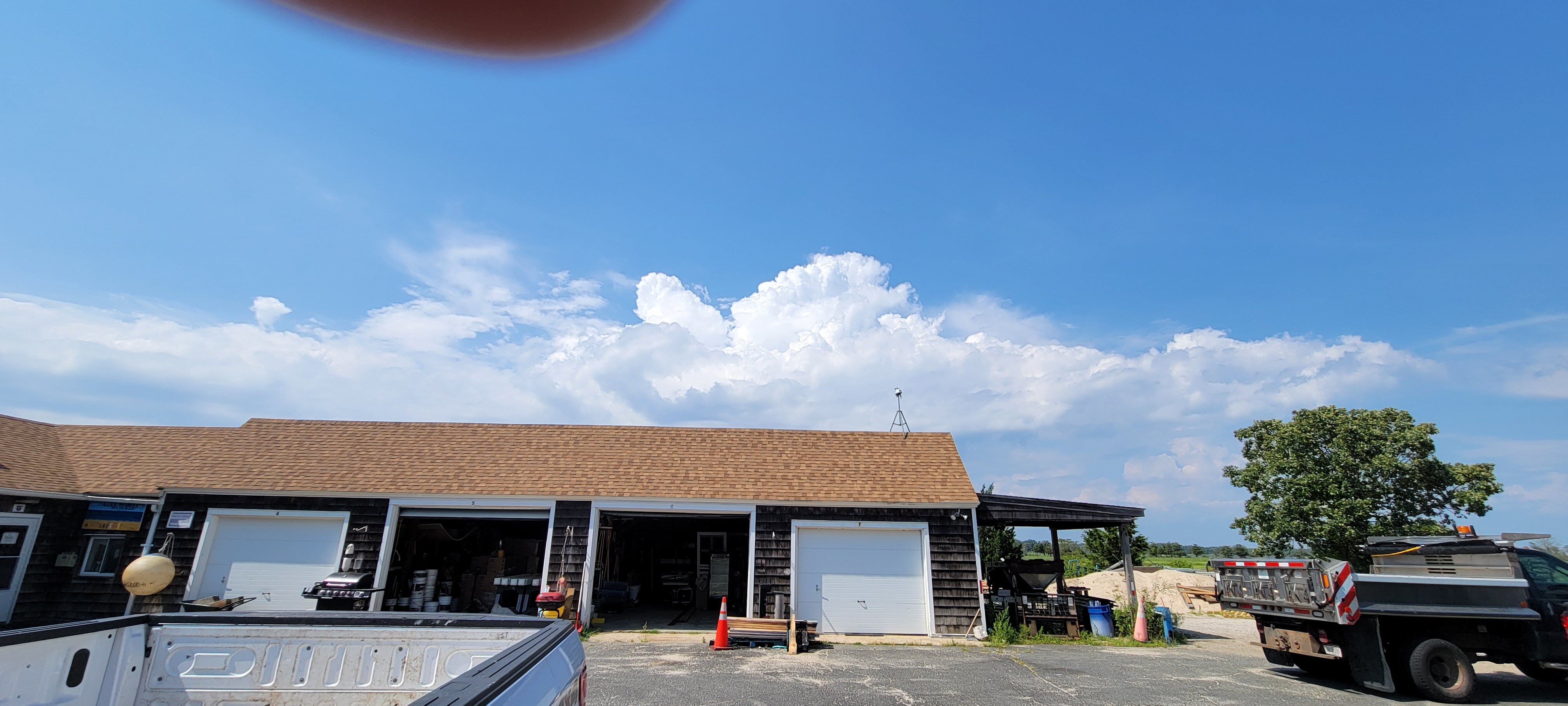
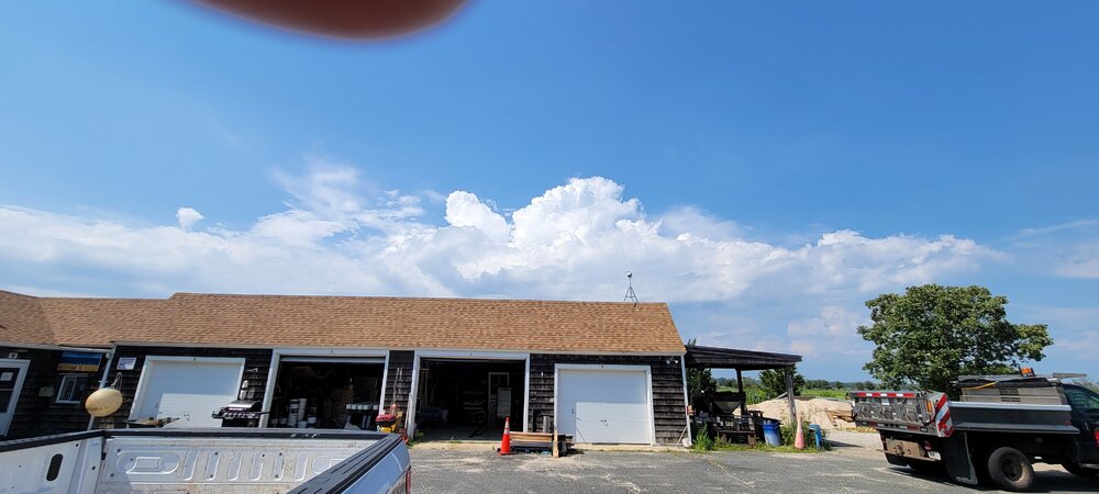
Some really big building, and fizzling clouds north of me now. 89.2°F Dewpoint up to 74.3°F, (highest of year) Heat index 98.5°F
-
What's your dew?
-
The little vantage vue with insane high Dewpoint level says its about 88.9°F feels like 105°F. My more accurate vantage pro 2 says it's 88.9°F Dewpoint of 72.7 feels like 96.6°F
-
Well, it depends on location, some places didn't even hit 90 at all though heat index was 90-95. Today everyone should easily hit 90 with heat index 99+