.jpeg.a4efd145a186e96890004342214cde5f.jpeg)
Baum
-
Posts
4,163 -
Joined
-
Last visited
Content Type
Profiles
Blogs
Forums
American Weather
Media Demo
Store
Gallery
Everything posted by Baum
-
.thumb.jpeg.e8e3bdfcc29eb766d3b1add909fceea2.jpeg)
Winter 2022/23 Short/Medium Range Discussion
Baum replied to Chicago Storm's topic in Lakes/Ohio Valley
if we come out of this period high and dry on the snow front it could really get ugly for Chicago posters. -
Winter 2022/23 Short/Medium Range Discussion
Baum replied to Chicago Storm's topic in Lakes/Ohio Valley
start the thread. "Will this one stick?" -
Winter 2022/23 Medium/Long Range Discussion
Baum replied to Chicago Storm's topic in Lakes/Ohio Valley
never gonna happen....an inch that is -
Jan 19-20: Hoosier is not allowed to start this thread
Baum replied to mimillman's topic in Lakes/Ohio Valley
^ now you did it -
Jan 19-20: Hoosier is not allowed to start this thread
Baum replied to mimillman's topic in Lakes/Ohio Valley
NAM looked better for you. -
Jan 19-20: Hoosier is not allowed to start this thread
Baum replied to mimillman's topic in Lakes/Ohio Valley
NAM likes Beer Town -
Winter 2022/23 Short/Medium Range Discussion
Baum replied to Chicago Storm's topic in Lakes/Ohio Valley
when the rubber band snaps back it snaps hard. -
Jan 19-20: Hoosier is not allowed to start this thread
Baum replied to mimillman's topic in Lakes/Ohio Valley
thread evaporation is real -
Will MSP reach 60 inches of snow for the season before ORD reaches 6"?
Baum replied to cyclone77's topic in Lakes/Ohio Valley
gulp. -
Jan 19-20: Hoosier is not allowed to start this thread
Baum replied to mimillman's topic in Lakes/Ohio Valley
observation: The Milwaukee NWS office has perhaps the most bland AFD write ups I have ever seen. Perhaps it's from being mesmerized by staring out the window at the palm trees in the perpetual 33 and cloudy climate of their tropical paradise..png.3ba4482b7e00ffcfb82b65e40f158420.png)
-
Jan 19-20: Hoosier is not allowed to start this thread
Baum replied to mimillman's topic in Lakes/Ohio Valley
I'm not sure your area was ever in the game here. But a torch for the Wednesday/ Thursday time period is an exaggeration per your current forecast. Slightly above average with a good chance of rain might be more realistic, -
Jan 19-20: Hoosier is not allowed to start this thread
Baum replied to mimillman's topic in Lakes/Ohio Valley
your local forecast: WEDNESDAY NIGHT RAIN IN THE EVENING, THEN RAIN LIKELY WITH SNOW AFTER MIDNIGHT. LITTLE OR NO SNOW ACCUMULATION. LOWS IN THE MID 30S. CHANCE OF PRECIPITATION 90 PERCENT. THURSDAY MOSTLY CLOUDY. A CHANCE OF RAIN AND SNOW IN THE MORNING. NEAR STEADY TEMPERATURE IN THE MID 30S. CHANCE OF PRECIPITATION 50 PERCENT. -
Jan 19-20: Hoosier is not allowed to start this thread
Baum replied to mimillman's topic in Lakes/Ohio Valley
right where we want it. -
Jan 19-20: Hoosier is not allowed to start this thread
Baum replied to mimillman's topic in Lakes/Ohio Valley
the weather models.jpeg.1c0752d75b7da089765cfa95b19e0f79.jpeg)
-
Jan 19-20: Hoosier is not allowed to start this thread
Baum replied to mimillman's topic in Lakes/Ohio Valley
The guy with the green grass better get the tarp out. Metro Chicago headed, if lucky, for a 1-2" thump followed by drizzle and white slush balls falling from tree limbs. Sadly, if you like winter, this is a huge improvement. -
Jan 19-20: Hoosier is not allowed to start this thread
Baum replied to mimillman's topic in Lakes/Ohio Valley
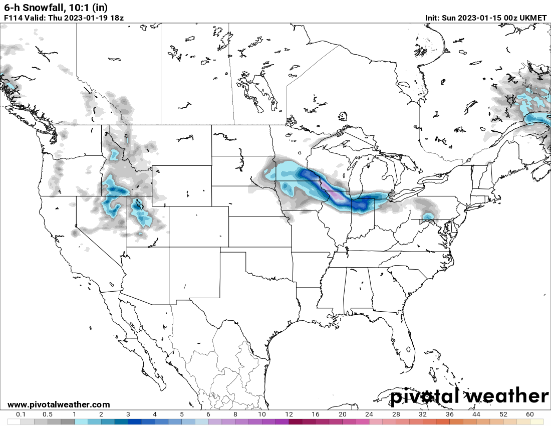
Euro is an toss. Too amped and has been playing this game early on for years, It'll have this over Knoxville by game day. The UKMET agrees with Alek.
-
I think this about sums it up.
-
Jan 19-20: Hoosier is not allowed to start this thread
Baum replied to mimillman's topic in Lakes/Ohio Valley
The rally to average this year will be fun. -
Jan 19-20: Hoosier is not allowed to start this thread
Baum replied to mimillman's topic in Lakes/Ohio Valley
I believe. -
Winter 2022/23 Short/Medium Range Discussion
Baum replied to Chicago Storm's topic in Lakes/Ohio Valley
GFS says "start the thread" title recommendation," Can we pull one out of our Azz crack Event 1/19/23?" -
Winter 2022/23 Short/Medium Range Discussion
Baum replied to Chicago Storm's topic in Lakes/Ohio Valley
^ that can be construed as a potentially white period for some areas as has been relayed by RC, OH Weather, and Chistorm. Normal to slightly above temps during a wet period in mid-late January is hardly a deal breaker for many. Or a transition period.The Minneapolis snow train may be out to edge south and east. -
Winter 2022/23 Short/Medium Range Discussion
Baum replied to Chicago Storm's topic in Lakes/Ohio Valley
you forgot to add "no pun intended." -
RC offers a glimmer: THE ENSEMBLE GUIDANCE HAS BEEN CONSISTENTLY POINTING TOWARD THERE FINALLY BEING A SHAKE-UP IN THE REMARKABLY MILD PATTERN WE'VE BEEN IN TO A MORE SEASONABLE AND PROBABLY STILL ACTIVE LOOK, SO *MAYBE* SOME MORE APPRECIABLE SNOW THREATS INTO LATE JANUARY. each of the last 2 months have flipped cold after mid month. Let's see if the palm guy takes another beating on his tropical paradise setting in beer town.
-
Will MSP reach 60 inches of snow for the season before ORD reaches 6"?
Baum replied to cyclone77's topic in Lakes/Ohio Valley
it was a good ride Minny, but it's over now....or until May. -
Winter 2022/23 Medium/Long Range Discussion
Baum replied to Chicago Storm's topic in Lakes/Ohio Valley
until we see an amped storm cut through the OV entraining cold air and gulf moisture while intensifying versus a progressive weakening SE slider we are in winter hades. Been over 3 years at minimum by my count.